Near Hagerman in Gooding County, Idaho — The American West (Mountains)
"The People"
Inscription.
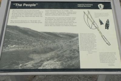
The canyon before you was once traversed by Native Americans making their way from camps on the bluffs where they prepared grass seeds for flour. At the Snake River's Salmon Falls, about one-half mile behind you, they fished with traps, hooks, and projectiles.
They referred to themselves as "the people" and usually distinguished themselves from other groups by the main foods they ate, for example, "Akai Tekka," meant the "salmon eater." Emigrant mispronounciaton (sic) led to the group being called Shoshone, Bannock, and Paiute tribes in this region.
The Indians here were peaceful and initially helped the Emigrants, but when too many travelers made game scarce, and fouled water holes and camps, anger flared and guns flashed. Journal entries do not mention Indians attacking anyone here, but do indicate that some Indians were killed by Emigrants.
"Whether because of the amusing, talkative Indians or the plentiful fish which, in season, might be caught with the hands, arrival at Salmon Falls was an event to the travelers. They had... scarcely enough clothing to keep the from freezing. They depended on the skin of the humble jack rabbit for their main cover against the cold. Bare brown shoulders... shivered above the scanty fur garments, fingers and toes of almost naked fishermen were pinched with cold on mornings when ice coated the soup kettle." --Wake of the Prairie Schooner
''I went to see the Indian who lay back on the sage bush, He was lifeless. The ball had entered the left side of his broad breast, and I suppose passed through his heart. He was an old man, fighting on his own soil, and no doubt has laid down his life in what he considered a just and holy cause." John Steele, Journal Entry
Erected by Hagerman Fossil Beds National Monument, National Park Service, U.S. Department of the Interior.
Topics. This historical marker is listed in this topic list: Native Americans.
Location. 42° 45.782′ N, 114° 55.291′ W. Marker is near Hagerman, Idaho, in Gooding County. Marker is on Bell Rapids Road near Upper Salmon Falls Road, on the left. Touch for map. Marker is in this post office area: Hagerman ID 83332, United States of America. Touch for directions.
Other nearby markers. At least 8 other markers are within 2 miles of this marker, measured as the crow flies. Where are the Fossils? (within shouting distance of this marker); A Changing Climate (within shouting distance of this marker); Sediments and Fossils (within shouting distance of this marker); Ancient Lakes (within shouting distance of this marker); Right Beneath Your Feet (approx. 1.9 miles away); Volcanoes Along the Snake (approx. 1.9 miles away); Manifest Destiny (approx. 1.9 miles away); The Great Westward Migration (approx. 2 miles away). Touch for a list and map of all markers in Hagerman.
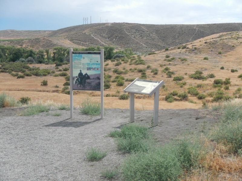
More about this marker. This marker is located near Snake River Overlook in Hagerman Fossil Beds National Monument.
Credits. This page was last revised on September 15, 2019. It was originally submitted on September 15, 2019, by Barry Swackhamer of Brentwood, California. This page has been viewed 165 times since then and 19 times this year. Photos: 1, 2. submitted on September 15, 2019, by Barry Swackhamer of Brentwood, California.

