Carondelet in St. Louis, Missouri — The American Midwest (Upper Plains)
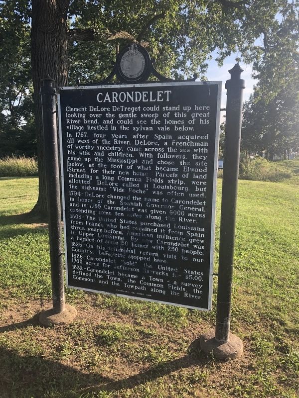
Carondelet
Clement DeLore DeTreget could stand up here looking over the gentle sweep of this great River bend, and could see the homes of his village nestled in the sylvan vale below.
In 1767, four years after Spain required all west of the River, DeLore, a Frenchman of worthy ancestry, came across the sea with his wife and children. With followers, they came up the Mississippi and chose the site below, at the foot of what became Elwood Street, for their new home. Parcel of land including a long Common Fields strip, were allotted. DeLore called it Louisbourg, but the nickname "Vide Poche" was often used.
1794 - DeLore changed the name to Carondelet in honor of the Spanish Governor General, and in 1795 Carondelet was given 6000 acres extending some ten miles along the River.
1803 ~ The United States purchased Louisiana from France, who had regained it from Spain three years before. American influence grew a hamlet of some 50 home with 250 people.
1825 ~ On his triumphal return visit to our Country, LaFayette stopped here.
1826 ~ Carondelet "sold" the United States 1700 acres for Jefferson Barracks for $5.00.
1823 ~ Carondelet became a Town ~ a survey defined the Town, the Common Fields, the Commons and the Towpath along the River.
1835 ~ A Catholic church of stone replaced the first one, of wood, built in 1819. The convent of St. Joseph, with a notable school for girls, was started in 1836. The first Protestant church, Presbyterian, was built in 1850. Soon there were many other churches.
1851 ~ Carondelet, with 1200 people, became a City. A great industrial impulse began: the railroad was built; large plants arose; general business and population grew.
1860 ~ Turmoil, confusion and bitterness brewed with the coming Civil War ~ then men went away to both Armies. North and south ~ and Carondelet built "Lincoln's Gunboats". After the War, things became placid again with industry growing and life pleasant.
1870 ~ The City of Carondelet was joined to St. Louis. Much followed there after: Carondelet School in 1871, the first public school Kindergarten system in U.S. started at Des Peres School; beautiful Carondelet Park; Carondelet Library for books and meetings.
The people of Carondelet came from many backgrounds, French, early American, German, Irish, African, Spanish, British, Italian, Polish and others ~ quite varied in qualities and nature but all worthy and respected.
All those who have lived here still think of it as age~honored Carondelet settled down along the Mighty Mississippi forever.
Erected 1970 by Carondelet Historical Society.
Topics and series.
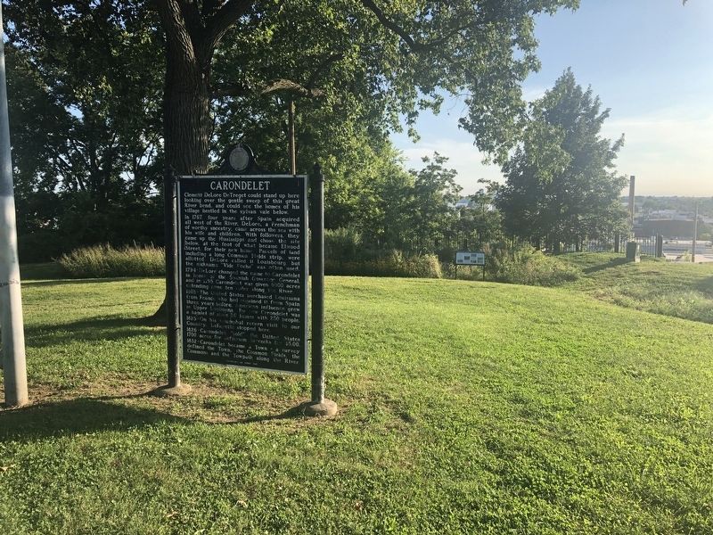
Location. 38° 33.631′ N, 90° 14.538′ W. Marker is in St. Louis, Missouri. It is in Carondelet. Marker can be reached from South Broadway just south of Bellerive Boulevard, on the left when traveling south. Touch for map. Marker is at or near this postal address: 5570 South Broadway, Saint Louis MO 63111, United States of America. Touch for directions.
Other nearby markers. At least 8 other markers are within 2 miles of this marker, measured as the crow flies. Carondelet Boat Yards (about 500 feet away, measured in a direct line); Carondelet Drum Corps (approx. ¾ mile away); Carondelet Hotel (approx. one mile away); Susan Blow (approx. 1.3 miles away); Dedicated to James B. Eads (approx. 1.4 miles away); Eads' Ironclads (approx. 1.4 miles away); Volunteer Fire Dept. (approx. 1.6 miles away); Iron Mountain Railroad (approx. 1.8 miles away). Touch for a list and map of all markers in St. Louis.
Credits. This page was last revised on January 30, 2023. It was originally submitted on September 18, 2019, by Devry Becker Jones of Washington, District of Columbia. This page has been viewed 341 times since then and 36 times this year. Photos: 1, 2, 3. submitted on September 18, 2019, by Devry Becker Jones of Washington, District of Columbia.

![Carondelet Marker [Reverse]. Click for full size. Carondelet Marker [Reverse] image. Click for full size.](Photos4/493/Photo493712.jpg?9182019104900AM)
