Near Penn Yan in Yates County, New York — The American Northeast (Mid-Atlantic)
Historic New York
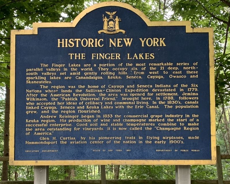
The Finger Lakes
The region was the home of Cayuga and Seneca Indians of the Six Nations whose lands the Sullivan Clinton Expedition devastated in 1779. After the American Revolution, the area was opened for settlement. Jemimna Wilkinson, the "Publick Universal Friend," brought here, in 1788, followers who accepted her ideas of celibacy and communal living. In the 1830's, canals linked Cayuga, Seneca and Keuka Lakes with the Erie Canal. The population grew, and the region flourished.
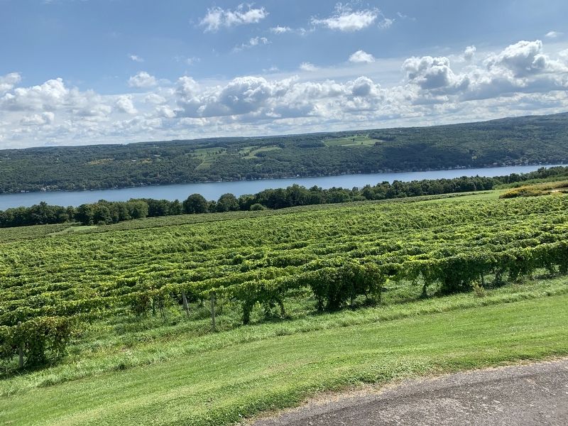
Andrew Reisinger began in 1853 the commercial grape industry in the Keuka region. His production of wine and champagne marked the start of a successful enterprise. Good soil and stable temperatures combine to make the area outstanding for vineyards. It is now called the "Champagne Region of America."
Glen H. Curtiss, by his pioneering feats in flying airplanes, made Hammondsport the aviation center of the nation in the early 1900's.
Erected 1967 by State Education Department, State of New York, Department of Public Works.
Topics and series. This historical marker is listed in these topic lists: Agriculture • Air & Space • Industry & Commerce • Native Americans. In addition, it is included in the Historic New York State series list. A significant historical year for this entry is 1779.
Location. 42° 33.542′ N, 77° 5.57′ W. Marker is near Penn Yan, New York, in Yates County. Marker is on New York State Route 54, on the right when traveling south. At the rest area. Touch for map. Marker is in this post office area: Penn Yan NY 14527, United States of America. Touch for directions.
Other nearby markers. At least 8 other markers are within 4 miles of this marker, measured as the crow flies. Beddoe-Rose Cemetery (approx. 2.9 miles away); Beddoe Tract (approx. 3.3 miles away); Bluff Point & Keuka Lake Geology (approx. 3.4 miles away); Bluff Point & Keuka Lake History (approx. 3.4 miles away); "Ahweyneyoun" (Ah-Wey-Ne-Youn) (approx. 3.6 miles away); Red Jacket (approx. 3.6 miles away); Ball Hall (approx. 3.9 miles away); St. Luke's Episcopal Church (approx. 4 miles away).
Additional keywords. Geology, geography
Credits. This page was last revised on September 18, 2019. It was originally submitted on September 18, 2019, by Steve Stoessel of Niskayuna, New York. This page has been viewed 187 times since then and 17 times this year. Photos: 1, 2, 3, 4. submitted on September 18, 2019, by Steve Stoessel of Niskayuna, New York. • Andrew Ruppenstein was the editor who published this page.


