Cuba in Crawford County, Missouri — The American Midwest (Upper Plains)
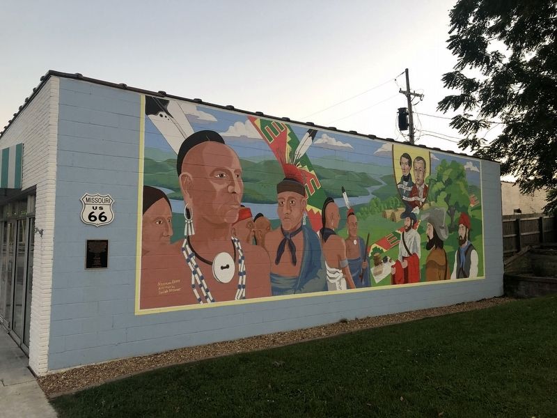
Meeting in Missouri
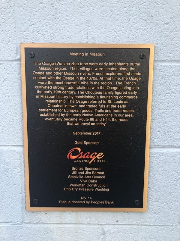
Erected 2017 by People's Bank. (Marker Number 14.)
Topics and series. This historical marker is listed in these topic lists: Exploration • Indigenous Peoples and Communities • Industry & Commerce • Roads & Vehicles. In addition, it is included in the U.S. Route 66 series list.
Location. 38° 3.698′ N, 91° 24.381′ W. Marker
this page online

Regionally, this marker is in South-Central Missouri. It is also in the American Ozarks, in the Lewis & Clark Corridor, and in the Corn Belt. Globally, it is in North America, the Western Hemisphere, the Western World, and the Anglosphere. Historically, it finds itself in what was once the territory of the Mississippian Culture, the Louisiana Purchase, and the Antebellum South.
Other nearby markers. At least 8 other markers are within walking distance of this marker: Civil War (here, next to this marker); Confederates in Cuba (within shouting distance of this marker); Battle of Pilot Knob (within shouting distance of this marker); Peoples Bank (within shouting distance of this marker); A Day in the Cooperage (within shouting distance of this marker); Apples and Barrels (within shouting distance of this marker); Prosperity Corner
Credits. This page was last revised on September 19, 2019. It was originally submitted on September 19, 2019, by Devry Becker Jones of Washington, District of Columbia. This page has been viewed 332 times since then and 27 times this year. Photos: 1, 2. submitted on September 19, 2019, by Devry Becker Jones of Washington, District of Columbia.
