Near Garberville in Humboldt County, California — The American West (Pacific Coastal)
Richardson Grove Historic Lodge
Photographed by Barry Swackhamer, September 6, 2019
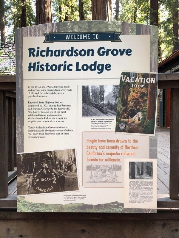
1. Richardson Grove Historic Lodge Marker
Captions: (bottom left) Local booster clubs began advertising the "Redwood Empire" as an outdoor recreation destination around 1910.; (upper right) In 1914, the Northern Pacific Railroad opened its Redwood Empire Route. Passengers would get off the train and take a horse-drawn wagon of stage to their destination.
In the 1910s and 1920s, improved roads and services drew tourists from every walk of life, and the redwoods became a popular destination.
Redwood State Highway 101 was completed in 1922, linking San Francisco and Eureka. Gateway to the Redwoods, "the Grove" became on of the most celebrated leisure and recreation destinations in California, a must-see stop for generations of vacationers.
Today, Richardson Grove continues to host thousands of visitors -- some of whom will enjoy their first views ever, of these towering giants!
Erected by California State Parks.
Topics. This historical marker is listed in these topic lists: Natural Features • Notable Buildings • Parks & Recreational Areas. A significant historical year for this entry is 1922.
Location. 40° 1.521′ N, 123° 47.597′ W. Marker is near Garberville, California, in Humboldt County. It can be reached from Redwood Highway (California Route 101) near County Route 271, on the right when traveling north. Touch for map. Marker is in
this page online

Regionally, this marker is in California’s North Coast, specifically on the Coast Ranges, and in the Klamath Mountains. It is also on the American Pacific Coast and in the Pacific Northwest. Globally, it is in North America, on the Ring of Fire, in the Pacific Rim, in the Western Hemisphere, in the Western World, and in the Anglosphere. Historically, it finds itself in what was once New Spain and also Mexico’s Alta California.
Other nearby markers. At least 6 other markers are within 8 miles of this marker, measured as the crow flies: Paving the Way (here, next to this marker); Drag Saw (approx. 1.1 miles away); Famous One-Log House (approx. 1.1 miles away); Plane Crash Site Memorial Marker (approx. 7½ miles away); Confusion Hill (approx. 7½ miles away); Mignon "Minnie" Stoddard Lilley (approx. 7½ miles away).
More about this marker. The lodge is located in Richardson Grove State Park.
Photographed by Barry Swackhamer, September 6, 2019
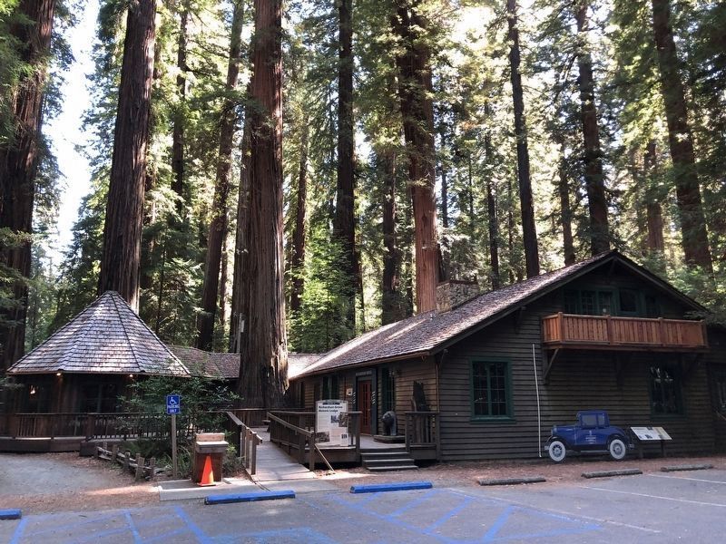
2. Richardson Grove Historic Lodge Marker
Marker at the center
Photographed by Barry Swackhamer, September 6, 2019
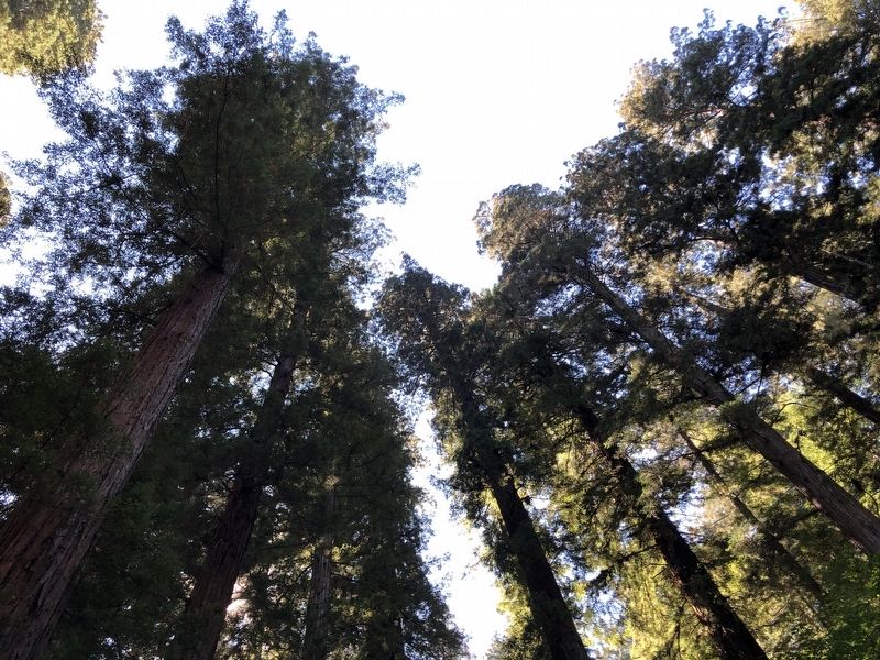
3. Real Trees!
Credits. This page was last revised on January 8, 2025. It was originally submitted on September 19, 2019, by Barry Swackhamer of Brentwood, California. This page has been viewed 722 times since then and 35 times this year. Photos: 1, 2, 3. submitted on September 19, 2019, by Barry Swackhamer of Brentwood, California.
