Occoquan in Prince William County, Virginia — The American South (Mid-Atlantic)
Historic Occoquan
Ballendine's Ironworks & Janney's Cotton Mill
Inscription.
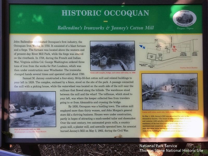
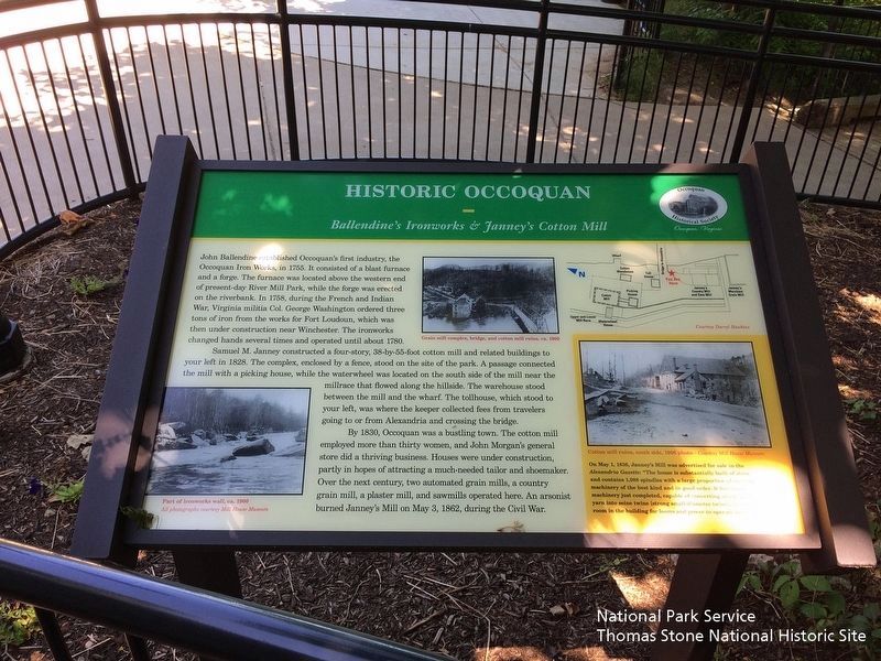
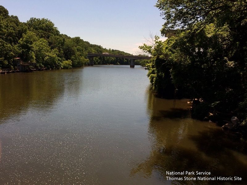
John Ballendine established Occoquan's first industry, the Occoquan Iron Works, in 1755. it consisted of a blast furnace and a forge. The furnace was located above the western end of present-day River Mill Park, while the forge was erected on the riverbank. In 1758, during the French and Indian War, Virginia militia Col. George Washington ordered three tons of irons from the works for Fort Loudoun, which was then under construction near Winchester. The ironworks changed hands several times and operated until 1780.
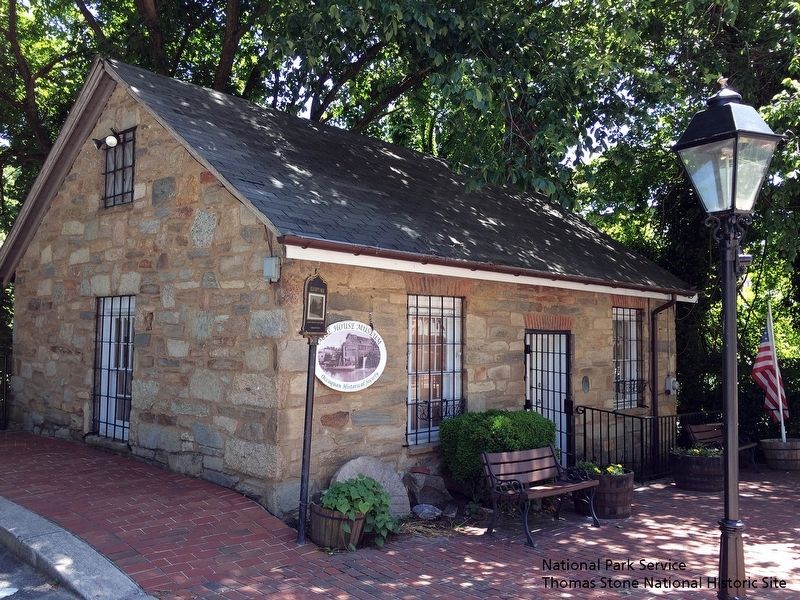
Samuel M. Janney constructed a four-story, 38-by-55-foot cotton mill and related buildings to your left in 1828. The complex, enclosed by a fence, stood on the site of the park. A passage connected the mill with a picking house, while the waterwheel was located on the south side of the mill near the millrace that flowed along the hillside. The warehouse stood between the mill and wharf. The tollhouse, which stood to your left, was where the keeper collected fees from travelers going to or from Alexandria and crossing the bridge.
By 1830, Occoquan was a bustling town. The cotton mill employed more than thirty women, and John Morgan's general store did a thriving business. Houses were under construction, partly in hopes of attracting a much-needed tailor and shoemaker. Over the next century, two automated grain mills, a country grain mill, a plaster mill, and sawmills operated here. An arsonist burned Janney's Mill on May 3, 1862, during the Civil War.
(sidebar)
On May 1, 1836, Janney's Mill was advertised for sale in the Alexandria Gazette: "The house is substantially built of stone and contains 1,088 spindles with a large proportion of carding machinery of the best kind and in good order. It has twine machinery just completed, capable of converting nearly half the yarn into seine twine [strong small-diameter twine], and there is a room in the building for looms and power to operate them.
(captions)
Part of the ironworks wall, ca. 1900 All photographs courtesy Mill House Museum
Grain mill complex, bridge, and cotton mill ruins, ca 1900s.
Cotton mill ruins, south side, 1906 photo — Courtesy Mill House Museum
(You Are Here map legend) Bridge to Alexandria, Cotton Mill, Cotton Warehouse, Janney's Country Mill and Saw Mill, Janney's Merchant Grain Mill, Picking House, Toll House, Upper and Lower Mill Race, Waterwheel House, Wharf. Courtesy Darryl Hawkins
Erected by Occoquan Historical Society, Occoquan, Virginia.
Topics. This historical marker is listed in these topic lists: Colonial Era
• Industry & Commerce • War, French and Indian • War, US Civil. A significant historical year for this entry is 1755.
Location. 38° 41.144′ N, 77° 15.755′ W. Marker is in Occoquan, Virginia, in Prince William County. Marker can be reached from Mill Street, 0.1 miles west of Ellicott Street when traveling west. Located in River Mill Park. Touch for map. Marker is at or near this postal address: 458 Mill Street, Occoquan VA 22125, United States of America. Touch for directions.
Other nearby markers. At least 8 other markers are within walking distance of this marker. The Dogue Indians (a few steps from this marker); Occoquan River Bridges (a few steps from this marker); Town of Occoquan (within shouting distance of this marker); a different marker also named Historic Occoquan (within shouting distance of this marker); Gearwheel Assembly (within shouting distance of this marker); a different marker also named Historic Occoquan (within shouting distance of this marker); Occoquan (within shouting distance of this marker); Ellicott’s Mill (within shouting distance of this marker). Touch for a list and map of all markers in Occoquan.
Also see . . .
1. Mill House Museum. Town of Occoquan (Submitted on September 21, 2019.)
2. Historic Occoquan Self Guided Walking Tour (pdf file)
. (Submitted on September 21, 2019.)
Credits. This page was last revised on September 23, 2019. It was originally submitted on September 21, 2019. This page has been viewed 348 times since then and 27 times this year. Photos: 1, 2, 3, 4. submitted on September 21, 2019. • Bernard Fisher was the editor who published this page.


