University in Minneapolis in Hennepin County, Minnesota — The American Midwest (Upper Plains)
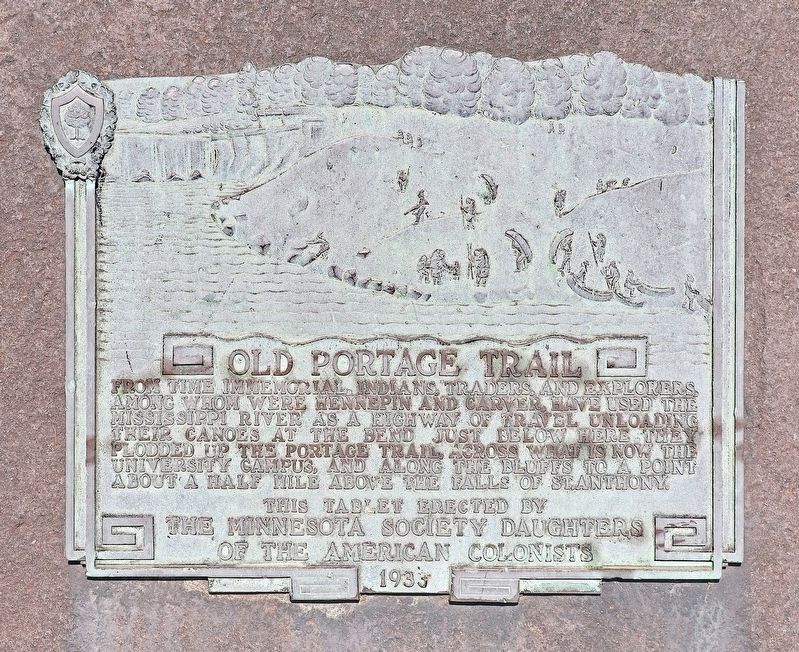
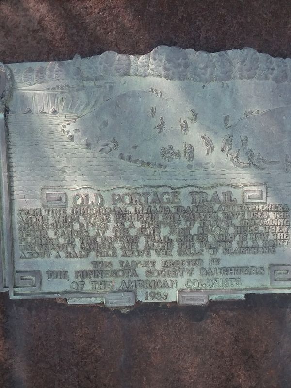
Old Portage Trail
Erected 1933 by The Minnesota Society Daughters of the American Colonists.
Topics and series. This historical marker is listed in these topic lists: Exploration • Native Americans • Settlements & Settlers • Waterways & Vessels. In addition, it is included in the Daughters of the American Colonists series list.
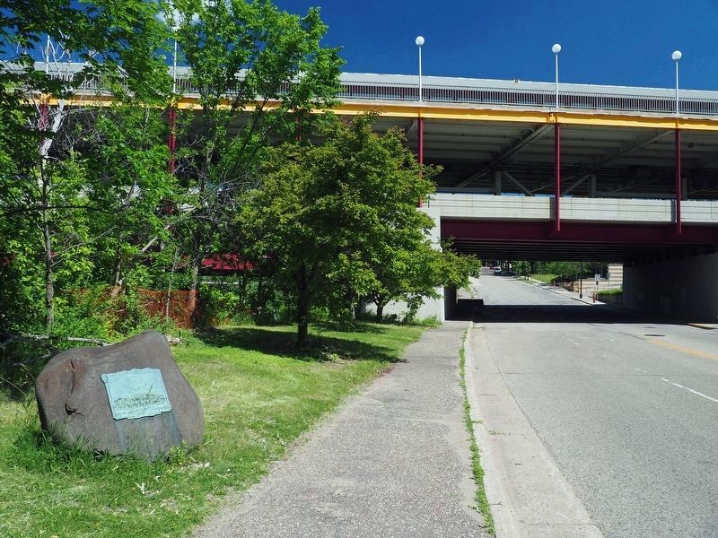
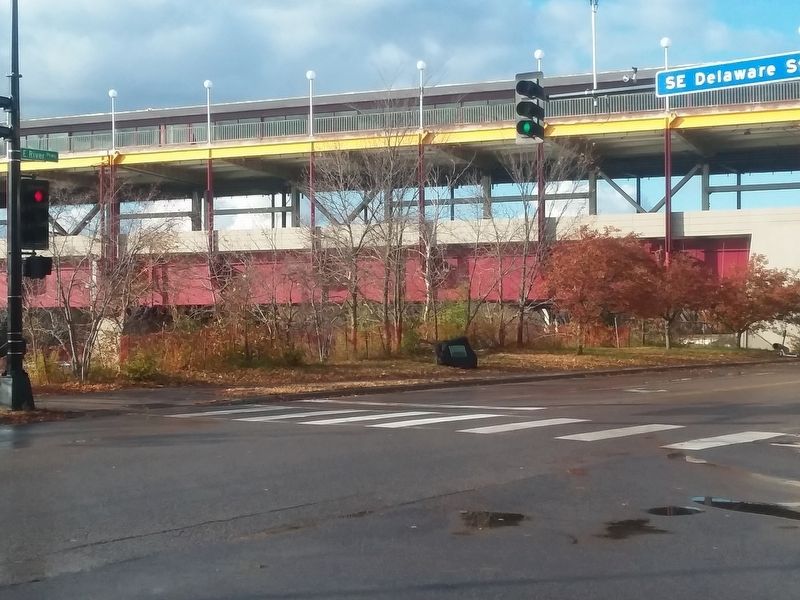
Location. 44° 58.382′ N, 93° 14.284′ W. Marker is in Minneapolis, Minnesota, in Hennepin County. It is in University. Marker is on East River Parkway north of Delaware Street SE, on the left when traveling north. Mounted on a boulder. Touch for map. Marker is at or near this postal address: 332 East River Pkwy, Minneapolis MN 55455, United States of America. Touch for directions.
Other nearby markers. At least 8 other markers are within walking distance of this marker. Coffman Memorial Union (approx. 0.2 miles away); Spanning the Sciences (approx. 0.2 miles away); You Are Here… Bohemian Flats (approx. 0.2 miles away); The Liberal Arts (approx. ¼ mile away); The West Bank (approx. ¼ mile away); Opening Doors (approx. ¼ mile away); Campus Design (approx. ¼ mile away); Mulford Q. Sibley Grove (approx. ¼ mile away). Touch for a list and map of all markers in Minneapolis.
Credits. This page was last revised on April 24, 2024. It was originally submitted on September 23, 2019, by Scott Graham of Wayzata, Minnesota. This page has been viewed 422 times since then and 15 times this year. Photos: 1, 2. submitted on September 20, 2020, by McGhiever of Minneapolis, Minnesota. 3. submitted on January 10, 2020, by Scott Graham of Wayzata, Minnesota. 4. submitted on September 23, 2019, by Scott Graham of Wayzata, Minnesota. • Andrew Ruppenstein was the editor who published this page.


