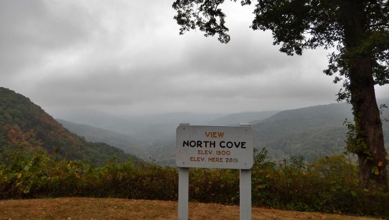
Near Spruce Pine in Mitchell County, North Carolina — The American South (South Atlantic)
First Mountain Parkway
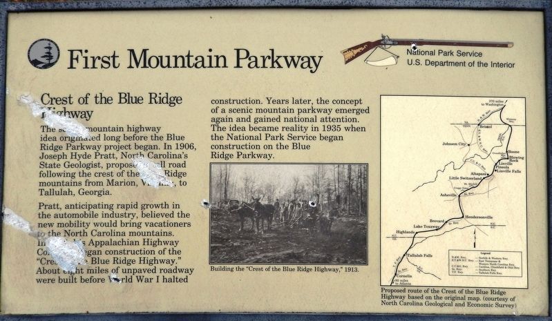
Crest of the Blue Ridge Highway
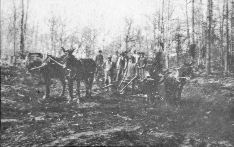
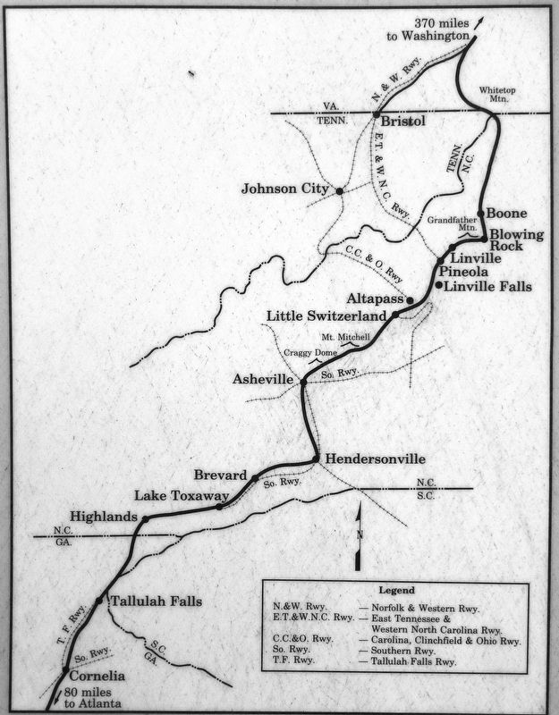
Pratt, anticipating rapid growth in the automobile industry, believed the new mobility would bring vacationers to the North Carolina mountains. In 1912 his Appalachian Highway Company began construction of the "Crest of the Blue Ridge Highway.” About eight miles of unpaved roadway were built before World War I halted construction. Years later, the concept of a scenic mountain parkway emerged again and gained national attention. The idea became reality in 1935 when the National Park Service began construction on the Blue Ridge Parkway.
Erected by National Park Service, U.S. Department of the Interior.
Topics and series. This historical marker is listed in these topic lists: Man-Made Features • Parks & Recreational Areas • Roads & Vehicles. In addition, it is included in the Blue Ridge Parkway series list. A significant historical year for this entry is 1912.
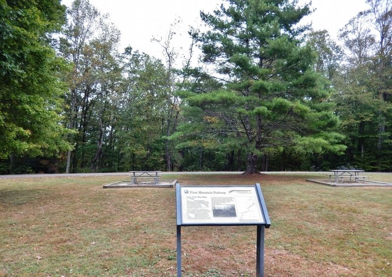
Location. 35° 52.994′ N, 82° 0.607′ W. Marker is near Spruce Pine, North Carolina, in Mitchell County. Marker is on Blue Ridge Parkway (at milepost 327.3), ¼ mile east of Altapass Highway, on the left when traveling south. Marker is located at the Blue Ridge Parkway's North Cove Overlook. Touch for map. Marker is in this post office area: Spruce Pine NC 28777, United States of America. Touch for directions.
Other nearby markers. At least 8 other markers are within 6 miles of this marker, measured as the crow flies. Sounds From the Mountains (approx. 1.1 miles away); The Loops (approx. 1.1 miles away); Apple Tree (approx. 1.2 miles away); Gillespie Gap (approx. 3.1 miles away); Spruce Pine Mining District (approx. 3.1 miles away); "The Blackwater Men Had Come Over the Mountain" (approx. 3.1 miles away); Near This Point (approx. 4 miles away); Cathey's Fort (approx. 6 miles away). Touch for a list and map of all markers in Spruce Pine.
Also see . . .
1. Blue Ridge Parkway. Pratt intended the road to be 24 feet wide, with a sand-clay or gravel surface and a gradient not exceeding 4.5 percent. The estimated cost was $5,000 per mile. Portions of the route had already been constructed, such as the Yonahlossee Road around Grandfather Mountain's south flank from Blowing Rock to Linville, but the more technically daunting segments through the Black Mountains and Great Craggies had not been laid out until the summer of 1910, when a surveying crew began work. Pratt apparently planned to use convict labor to help keep the costs as low as possible, although he recognized that the expense of laying the road through these rugged mountains might exceed $12,000 per mile. (Submitted on October 5, 2019, by Cosmos Mariner of Cape Canaveral, Florida.)
2. Pratt, Joseph Hyde. Pratt provided vigorous leadership in organizations ranging from the North Carolina Symphony Society to the Chapel Hill Red Cross, to being regional engineer for the Civil Works Authority, the Federal Emergency Relief Administration, and the Resettlement Administration in the 1930s. He continued his pioneering efforts on behalf of preserving forests, developing good roads, and establishing a state fisheries commission. He organized the Southern Forestry Congress, the North Carolina Forestry Association, and the Good Roads Association, among others. (Submitted on October 5, 2019, by Cosmos Mariner of Cape Canaveral, Florida.)
Credits. This page was last revised on October 5, 2021. It was originally submitted on October 5, 2019, by Cosmos Mariner of Cape Canaveral, Florida. This page has been viewed 222 times since then and 20 times this year. Photos: 1, 2, 3, 4, 5. submitted on October 5, 2019, by Cosmos Mariner of Cape Canaveral, Florida.
