Cathair na Stéige / Staigue Fort
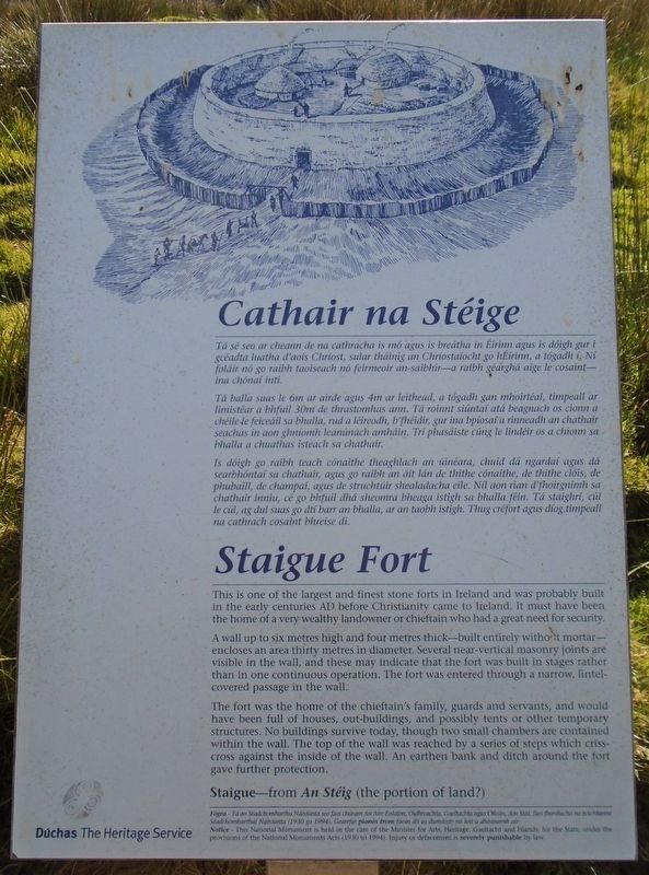
Tá sé seo ar cheann de na cathracha is mó agus is breátha in Éirinn agus is dóigh gur i gcéadta luatha d'aois Chríost, sular tháinig an Chríostaíocht go hÉirinn, a tógadh í. Ní foláir nó go raibh taoiseach nó feimeoir an-saibhir—a raibh géarghá aige le cosaint—ina chónaí inti.
Tá balla suas le 6m ar airde agus 4m ar leithead, a tógadh gan mhoirtéal, timpeall ar limistéar a bhfuil 30m de thrastomhas ann. Tá roinnt siúntaí atá beagnach os cionn a chéile le feiceáil sa bhalla, rud a léireodh, b'fhéidir, gur ina bpíosaí a rinneadh an chathair seachas in aon ghníomh leanúnach amháin. Trí phasáiste cúng le lindéir os a chionn sa bhalla a chuathas isteach sa chathair.
Is dóigh go raibh teach cónaithe theaghlach an úinéara, chuid dá ngardaí agus dá searbhóntaí sa chathair, agus go raibh an áit lán de thithe cónaithe, de thithe clóis, de phubaill, de champaí, agus de struchtúir shealadacha eile. Níl aon rian d'fhoirgnimh sa chathair inniu, cé go bhfuil dhá sheomra bheaga istigh sa bhalla féin. Tá staighrí, cúl le cúl, ag dul suas go dtí barr an bhalla, ar an taobh istigh. Thug créfort agus díog timpeall na cathrach
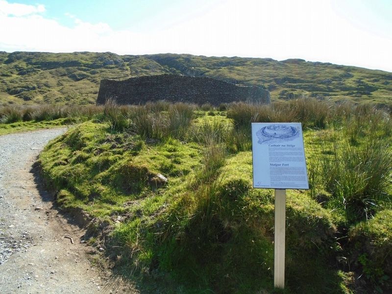
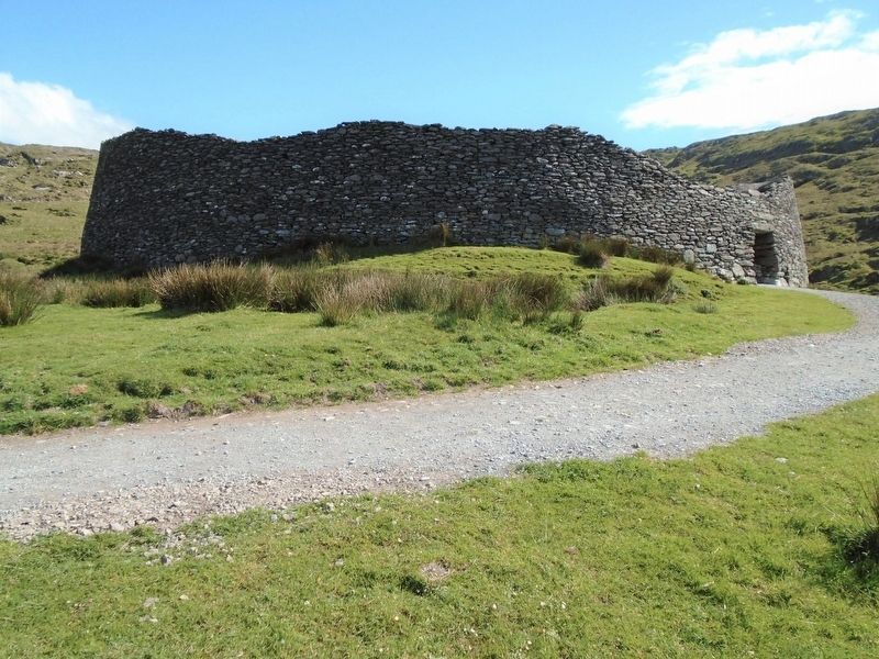
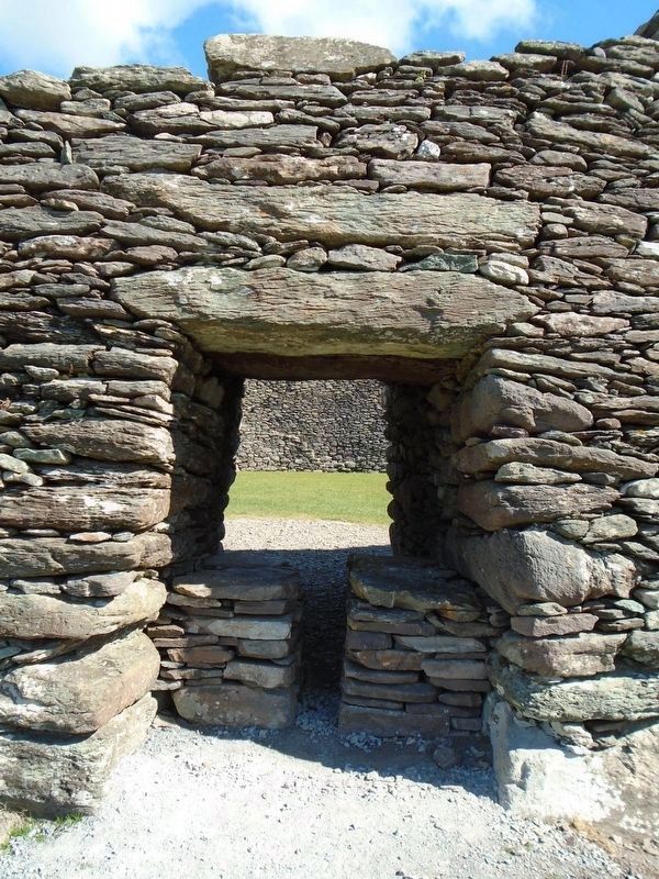
cosaint bhreise di.A wall up to six metres thick—built entirely without mortar—encloses an area thirty metres in diameter. Several near-vertical masonry joints are visible in the wall, and these may indicate that the fort was built in stages rather than in one continuous operation. The fort was entered through a narrow, lintel-covered passage in the wall.
The fort was the home of the chieftain's family, guards and servants, and would have been full of houses, out-buildings, and possibly tents or other temporary structures. No buildings survive today, though two small chambers are contained within the wall. The top of the wall was reached by a series of steps which criss-cross against the inside of the wall. An earthen bank and ditch around the fort gave further protection.
Staigue—from An Stéig (the portion of land?)
Erected by Dúchas The Heritage Service.
Topics. This historical marker is listed in these topic lists: Anthropology & Archaeology
Location. 51° 48.303′ N, 10° 0.98′ W. Marker is near Staigue, Munster, in County Kerry. Marker is along the path leading to the fort, about 4 km north of the Ring of Kerry road (N70). Follow the signs. Touch for map. Touch for directions.
Other nearby markers. At least 8 other markers are within 10 kilometers of this marker, measured as the crow flies. Church of the Most Precious Blood (approx. 3.2 kilometers away); The Sun / An ghrian (approx. 6.9 kilometers away); Bóthar an Ime / Bóthar an Chuinsailéara (approx. 6.9 kilometers away); Charles de Gaulle (approx. 8.7 kilometers away); The Steel Tree (approx. 8.8 kilometers away); World War I Memorial (approx. 8.8 kilometers away); The Peaceful Panda (approx. 8.9 kilometers away); John Egan (approx. 8.9 kilometers away).
Also see . . . Staigue Fort. (Submitted on October 5, 2019, by William Fischer, Jr. of Scranton, Pennsylvania.)
Credits. This page was last revised on August 1, 2021. It was originally submitted on October 5, 2019, by William Fischer, Jr. of Scranton, Pennsylvania. This page has been viewed 98 times since then and 8 times this year. Photos: 1, 2, 3, 4, 5, 6. submitted on October 7, 2019, by William Fischer, Jr. of Scranton, Pennsylvania.


