Near Xenia in Greene County, Ohio — The American Midwest (Great Lakes)
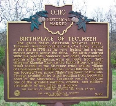
Birthplace of Tecumseh
The great Native American Shawnee leader, Tecumseh, was born on the bank of a large spring at this site in 1768, at the very instant that a great meteor seared across the skies. The birth occurred while his parents, Shawnee war chief, Pucksinwah, and his wife, Methotasa, were en route from their village of Kispoko Town, on the Scioto River, to a major tribal council at the Shawnee tribal capital village of Chalahgawth (Chillicothe - now Oldtown), which was located “two arrow flights” northwest of this site. Though prohibited by tribal tradition from becoming chief of the Shawnees, Tecumseh rose to become one of the greatest warriors, orators, and military strategists of any tribe in America.
[Marker reverse]:
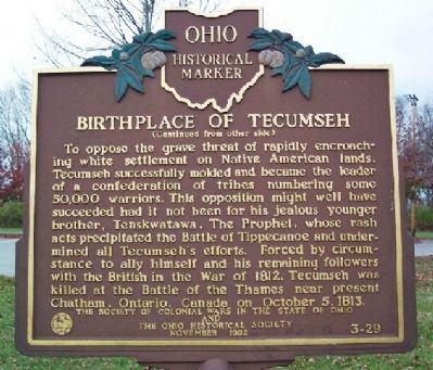
To oppose the grave threat of rapidly encroaching white settlement on Native American lands, Tecumseh successfully molded and became the leader of a confederation of tribes numbering some 50,000 warriors. This opposition might well have succeeded had it not been for his jealous younger brother, Tenskwatawa, The Prophet, whose rash acts precipitated the Battle of Tippecanoe and undermined all Tecumseh's efforts. Forced by circumstance to ally himself and his remaining followers with the British in the War of 1812, Tecumseh was killed at the Battle of the Thames near present Chatham, Canada on October 5, 1813.
Erected 1992 by The Society of Colonial Wars in the State of Ohio and The Ohio Historical Society. (Marker Number 3-29.)
Topics and series. This historical marker is listed in these topic lists: Colonial Era • Native Americans • War of 1812 • War, US Revolutionary. In addition, it is included in the Ohio Historical Society / The Ohio History Connection series list. A significant historical month for this entry is October 1854.
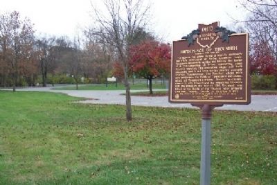
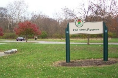
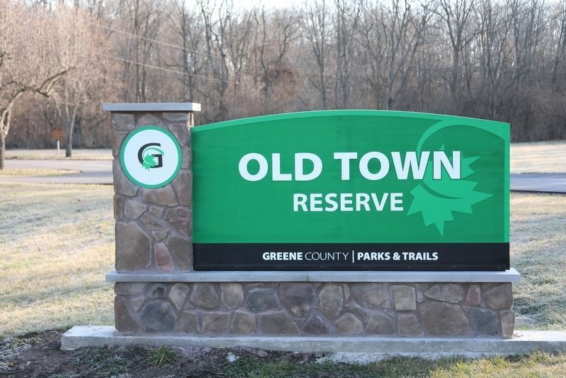
Location. 39° 43.375′ N, 83° 56.069′ W. Marker is near Xenia, Ohio, in Greene County. Marker is off parking lot of Old Town Reserve Park, Old Springfield Pike, off US Route 68, between Xenia and Oldtown. Touch for map. Marker is in this post office area: Xenia OH 45385, United States of America. Touch for directions.
Other nearby markers. At least 8 other markers are within 3 miles of this marker, measured as the crow flies. The Sexton Point (about 700 feet away, measured in a direct line); The Bullskin Trail (about 700 feet away); U Mkvwalamakufewa Tikvmfa / Memorial to Tecumtha (approx. 0.4 miles away); Stevenson Road Bridge (approx. 2.1 miles away); Stevenson Road Covered Bridge (approx. 2.1 miles away); Stevenson Cemetery Veterans Memorial (approx. 2.2 miles away); Stevenson Cemetery Gate (approx. 2.3 miles away); Veterans Memorial (approx. 2.3 miles away).
Credits. This page was last revised on February 29, 2024. It was originally submitted on December 2, 2008, by William Fischer, Jr. of Scranton, Pennsylvania. This page has been viewed 12,030 times since then and 281 times this year. Photos: 1, 2, 3, 4, 5. submitted on December 2, 2008, by William Fischer, Jr. of Scranton, Pennsylvania. 6. submitted on February 26, 2024, by J. Wesley Baker of Springfield, Ohio. • Kevin W. was the editor who published this page.
