Oldtown in Greene County, Ohio — The American Midwest (Great Lakes)
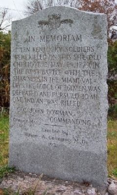
Ten Kentucky Soldiers Memorial
Col. John Bowman, commanding.
Draper Mss.
Erected 1931 by William A. Galloway, M.D.
Topics. This memorial is listed in these topic lists: Native Americans • Notable Events • Notable Places • War, US Revolutionary. A significant historical date for this entry is May 29, 1778.
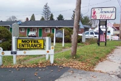
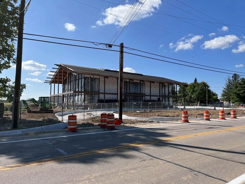
Location. Marker has been permanently removed. It was located near 39° 43.72′ N, 83° 56.221′ W. Marker was in Oldtown, Ohio, in Greene County. Memorial was on U.S. 68, 0.1 miles south of Brush Row Road, on the right when traveling south. The marker has been removed for the construction of the new Interpretive Center for Great Council State Park. Touch for map. Marker was at or near this postal address: 1575 US Route 68 North, Xenia OH 45385, United States of America.
We have been informed that this sign or monument is no longer there and will not be replaced. This page is an archival view of what was.
Other nearby markers. At least 8 other markers are within 3 miles of this location, measured as the crow flies. U Mkvwalamakufewa Tikvmfa / Memorial to Tecumtha (here, next to this marker); The Bullskin Trail (approx. 0.3 miles away); The Sexton Point (approx. 0.3 miles away); Birthplace of Tecumseh (approx. 0.4 miles away); Stevenson Road Bridge (approx. 2.1 miles away); Stevenson Road Covered Bridge (approx. 2.1 miles away); Stevenson Cemetery Veterans Memorial (approx. 2.3 miles away); Stevenson Cemetery Gate (approx. 2.4 miles away). Touch for a list and map of all markers in Oldtown.
More about this memorial. Draper Mss refers to the Draper Manuscript Collection, an extensive document collection relating to the early frontier, with predominate interest in the military and the men involved in frontier Indian warfare.
Credits. This page was last revised on March 3, 2024. It was originally submitted on December 2, 2008, by William Fischer, Jr. of Scranton, Pennsylvania. This page has been viewed 1,956 times since then and 39 times this year. Last updated on February 26, 2024, by J. Wesley Baker of Springfield, Ohio. Photos: 1, 2. submitted on December 2, 2008, by William Fischer, Jr. of Scranton, Pennsylvania. 3. submitted on February 26, 2024, by J. Wesley Baker of Springfield, Ohio. • Devry Becker Jones was the editor who published this page.


