Starkville in Oktibbeha County, Mississippi — The American South (East South Central)
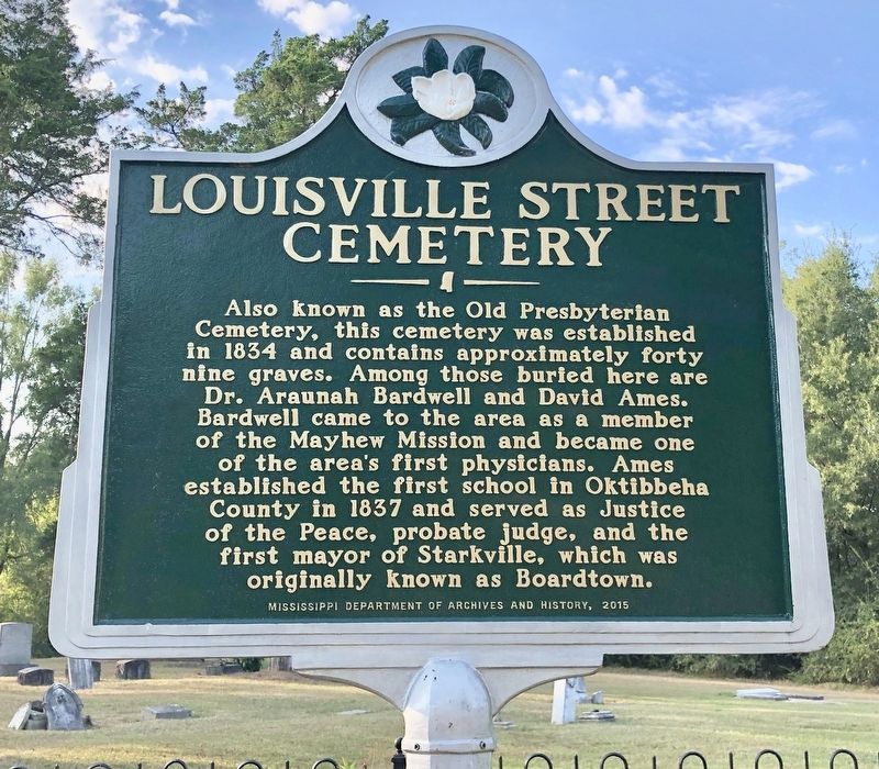
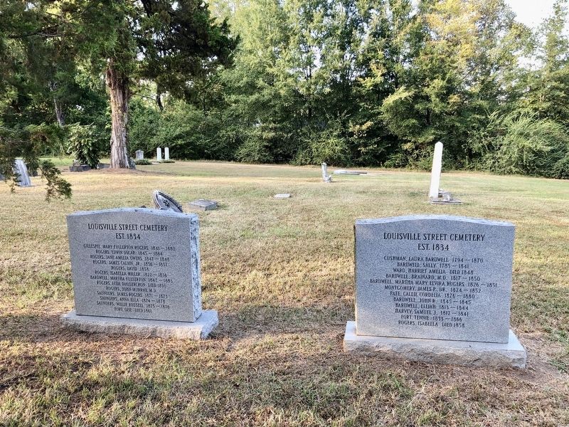
Louisville Street Cemetery
Erected 2015 by Mississippi Department of Archives and History.
Topics and series. This historical marker is listed in these topic lists: Cemeteries & Burial Sites • Churches & Religion • Education • Science & Medicine • Settlements & Settlers. In addition, it is included in the Mississippi State Historical Marker Program series list. A significant historical year for this entry is 1834.
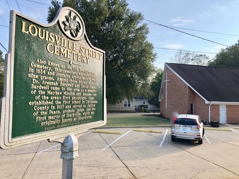
Location. 33° 27.602′ N, 88° 49.303′ W. Marker is in Starkville, Mississippi, in Oktibbeha County. Marker is on Louisville Street south of Bryan Street, on the right when traveling south. Located next to the First Assembly of God Church. Touch for map. Marker is at or near this postal address: 218 Louisville Street, Starkville MS 39759, United States of America. Touch for directions.
Other nearby markers. At least 8 other markers are within walking distance of this marker. Greensboro Street Historic District (about 700 feet away, measured in a direct line); Hic A Sha Ba Ha Spring (approx. ¼ mile away); First Baptist Church (approx. 0.4 miles away); Grierson's Raid (approx. 0.4 miles away); Significant Events in African-American History in Oktibbeha County (approx. 0.4 miles away); Odd Fellows Cemetery (approx. 0.4 miles away); W.H. "Corn Club" Smith (approx. 0.4 miles away); Overstreet School District (approx. half a mile away). Touch for a list and map of all markers in Starkville.
Credits. This page was last revised on November 23, 2019. It was originally submitted on October 7, 2019, by Mark Hilton of Montgomery, Alabama. This page has been viewed 218 times since then and 20 times this year. Photos: 1, 2, 3. submitted on October 7, 2019, by Mark Hilton of Montgomery, Alabama.


