Mackinaw City in Cheboygan County, Michigan — The American Midwest (Great Lakes)
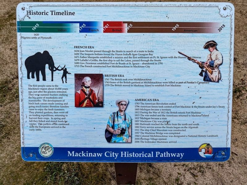
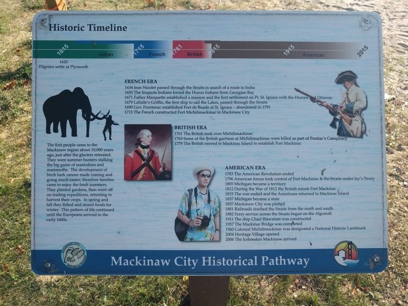
Historic Timeline
Mackinaw City Historical Pathway
The first people came to the Mackinaw region aboutr 10,000 years ago, just after the glaciers retreated. They were summer hunters stalking the big game of mastodons and mammoths. The development of birch bark canoes made coming and going much easier; therefore families came to enjoy the fresh summers. They planted gardens, then went off on trading expeditions, returning to harvest their crops. In spring and fall they fished and stored foods for winter. This pattern of life continued until the Europeans arrived in the early 1600s.
French Era
1634 Jean Nicolet passed through the Straits in search of a route to India
1650 The Iroquois Indians forced the Huron Indians from Georgian Bay
1671 Father Marquette established a mission and the first settlement on Pt. St. Ignace with the Hurons and Ottawas
1679 LaSalle's Griffin, the first ship to sail the Lakes, passed through the Straits
1690 Gov. Frontenac established Fort de Buade at St. Ignace - abandoned in 1791 [sic]
1715 The French constructed Fort Michilimackinac in Mackinaw City
British Era
1761 The British took over Michilimackinac
1763 Some of the British garrison at Michilimackinac were killed as part of Pontiac's Conspiracy
1779 The British moved to Mackinac Island to establish Fort Mackinac
American Era
1783 The American Revolution ended
1796 American forces took control of Fort Mackinac & the Straits under Jay's Treaty
1805 Michigan became a territory
1812 During the War of 1812 the British retook Fort Mackinac
1815 The war ended and the Americans returned to Mackinac Island
1837 Michigan became a state
1857 Mackinaw City was platted
1881 Railroads reached the Straits from the north and south
1882 Ferry service across the Straits began on the Algomah
1911 The ship Chief Wawatam was constructed
1957 The Mackinac Bridge was completed
1960 Colonial Michilimackinac was designated a National Historic Landmark
2004 Heritage Village opened
2006 The Icebreaker Mackinaw arrived
Topics. This historical marker is listed in these topic lists: Colonial Era • Forts and Castles • Native Americans • Settlements & Settlers. A significant historical year for this entry is 1634.
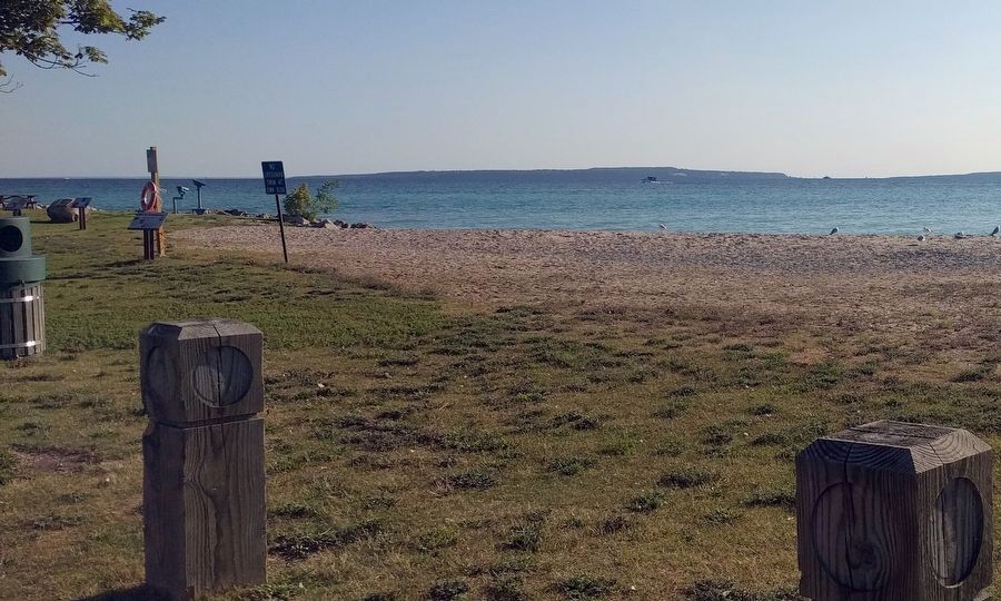
Location. 45° 46.997′ N, 84° 43.392′ W. Marker is in Mackinaw City, Michigan, in Cheboygan County. Marker can be reached from North Huron Avenue south of East Jamet Street, on the right when traveling north. Marker is in Wawatam Park. Touch for map. Marker is at or near this postal address: 300 North Huron Avenue, Mackinaw City MI 49701, United States of America. Touch for directions.
Other nearby markers. At least 8 other markers are within walking distance of this marker. Mackinaw Boat - Mackinaw Coat (a few steps from this marker); Mackinac and the Water Highway (a few steps from this marker); Lake Level Research on the Great Lakes (a few steps from this marker); John L. (Jack) Staffan • Chief Wawatam (within shouting distance of this marker); Chief Wawatam (within shouting distance of this marker); a different marker also named Chief Wawatam (within shouting distance of this marker); Our weather (within shouting distance of this marker); A Bridge for Mackinac (within shouting distance of this marker). Touch for a list and map of all markers in Mackinaw City.
Credits. This page was last revised on January 8, 2023. It was originally submitted on October 8, 2019, by Joel Seewald of Madison Heights, Michigan. This page has been viewed 185 times since then and 21 times this year. Photos: 1. submitted on January 7, 2023, by J.T. Lambrou of New Boston, Michigan. 2, 3. submitted on October 8, 2019, by Joel Seewald of Madison Heights, Michigan.


