Versailles in Morgan County, Missouri — The American Midwest (Upper Plains)
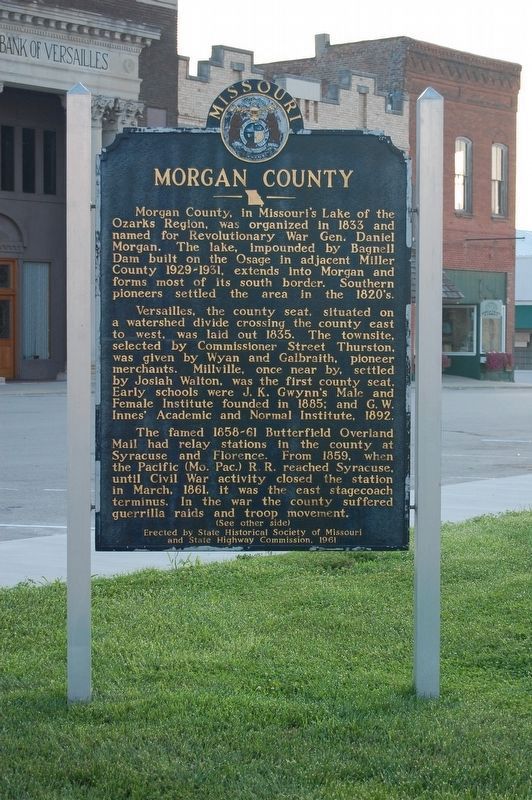
Morgan County
Versailles, the county seat, situated on a watershed divide crossing the county east to west, was laid out 1835. The townsite, selected by Commissioner Street Thurston, was given by Wyan and Galbraith, pioneer merchants. Millville, once near by, was settled by Josiah Walton, was the first county seat. Early schools were J.K. Gwynn's Male and Female Institute founded in 1885; and G.W. Innes' Academic and Normal Institute, 1892.
The famed 1858-61 Butterfield Overland Mail had relay stations in the county at Syracuse and Florence. From 1859, when the Pacific (Mo.Pac.) R.R. reached Syracuse, until Civil War activity closed the station in March, 1861, it was the east stagecoach terminus. In the war the county suffered guerrilla raids and troop movement.
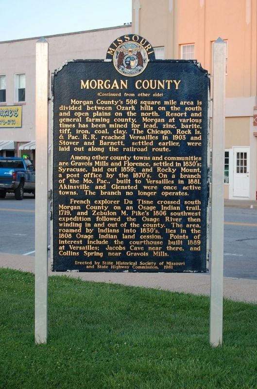
Morgan County's 596 square mile area is divided between Ozark hills on the south and open plains on the north. Resort and general farming county, Morgan at various times has been mined for lead, zinc, barite, tiff, iron, coal, clay. The Chicago, Rock Is. & Pac. R.R. reach Versailles in 1903 and Stover and Barnett, settled earlier, were laid out along the railroad route.
Among other county towns and communities are Gravois Mills and Florence, settled in 1830's; Syracuse, laid out 1859; and Rocky Mount, a post office by the 1870's. On a branch of the Mo. Pac., built to Versailles in 1881, Akinsville and Glensted were once active towns. The branch no longer operates.
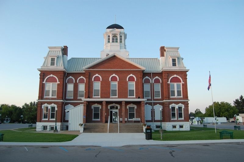
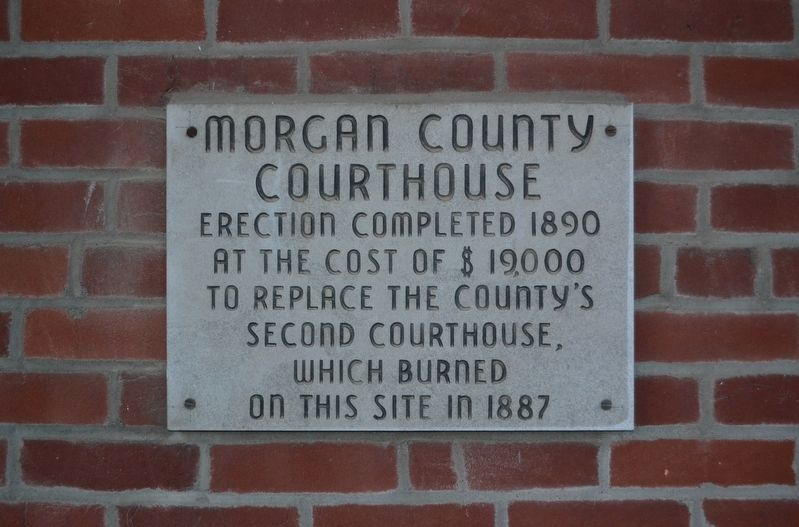
French explorer Du Tisne crossed south Morgan County on an Osage Indian Trail, 1719, and Zebulon M. Pike's 1806 southwest expedition followed the Osage River then winding in and out of the county. The area, roamed by Indians into the 1830's, lies in the 1808 Osage Indian land cession. Points of interest include the courthouse built 1889 at Versailles; Jacobs Cave near there, and Collin's Spring near Gravois Mills.
Erected 1961 by State Historical Society of Missouri and State Highway Commission.
Topics and series. This historical marker is listed in these topic lists: Native Americans • Railroads & Streetcars • Settlements & Settlers • War, US Civil. In addition, it is included in the Missouri, The State Historical Society of series list. A significant historical year for this entry is 1833.
Location. 38° 25.888′ N, 92° 50.502′ W. Marker is in Versailles, Missouri, in Morgan County. Marker is at the intersection of East Newton Street and South Monroe Street (Missouri Highway W), on the right when traveling east on East Newton Street. Touch for map. Marker is at or near this postal address: 100 East Newton Street, Versailles MO 65084, United States of America. Touch for directions.
Other nearby markers. At least 1 other marker is within walking distance of this marker. The History of the Johnny Appleseed Tree (about 400 feet away, measured in a direct line).
Credits. This page was last revised on October 10, 2019. It was originally submitted on October 10, 2019, by Michael E Sanchez, Jr. of Kansas City, Missouri. This page has been viewed 338 times since then and 38 times this year. Photos: 1, 2, 3, 4. submitted on October 10, 2019, by Michael E Sanchez, Jr. of Kansas City, Missouri. • Devry Becker Jones was the editor who published this page.


