How Did Water Become Land?
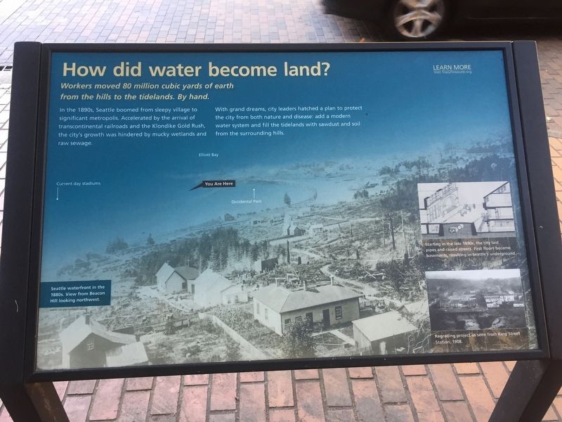
In the 1890s, Seattle boomed from sleepy village to significant metropolis. Accelerated by the arrival of transcontinental railroads and the Klondike Gold rush, the city's growth was hindered by mucky wetlands and raw sewage.
With grand dreams, city leaders hatched a plan to protect the city from both nature and disease: add a modern water system and fill the tidelands and soil from the surrounding hills.
Erected by Trail2Treasure.org.
Topics. This historical marker is listed in this topic list: Man-Made Features.
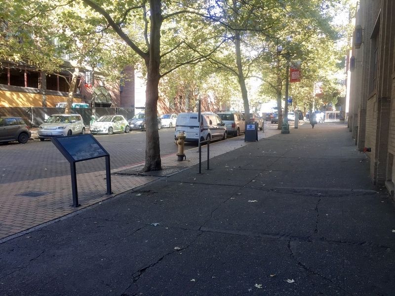
Location. 47° 35.908′ N, 122° 19.969′ W. Marker is in Seattle, Washington, in King County. It is in Pioneer Square. It is at the intersection of Occidental Avenue South and South King Street, on the right when traveling north on Occidental Avenue South. Touch for map. Marker is in this post office area: Seattle WA 98104, United States of America. Touch for directions.
Regionally, this marker is in Washington’s Puget Sound Region. It is also on the American
this page online
Other nearby markers. At least 8 other markers are within walking distance of this marker: The Goldsmith Building (about 300 feet away, measured in a direct line); Smith and Squire Buildings (about 500 feet away); What makes a thriving village? (about 600 feet away); Earl Layman Street Clock (about 600 feet away); UPS - Celebrating 100 years of Service (about 600 feet away); Why was “The Tenderloin” the first LGBTQ+ neighborhood in Seattle? (about 600 feet away); Birthplace of United Parcel Service (about 600 feet away); How Big Was Japantown? (about 700 feet away). Touch for a list and map of all markers in Seattle.
Other markers no longer nearby. Site of the Smaller Fort (was about 500 feet away but has been confirmed missing); Information Booth (was about 600 feet away but has been permanently removed); Pioneer Square Historic District (was about
Credits. This page was last revised on March 21, 2026. It was originally submitted on October 11, 2019, by Andrew Ruppenstein of Lamorinda, California. This page has been viewed 305 times since then and 24 times this year. Photos: 1, 2. submitted on October 11, 2019, by Andrew Ruppenstein of Lamorinda, California.
