Kinkora in Prince County, Prince Edward Island — The Atlantic Provinces (North America)
Kinkora
Photographed by Cosmos Mariner, July 17, 2019
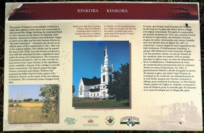
1. Kinkora Marker

The poetry of Ireland is immediately evident in a name that explains much about the community in and around the village. Building the Anderson Road in 1832 opened up the district for farming. Irish families, experienced farmers and tradesmen, began to arrive soon after and the area became known as "the Irish Settlement." Somerset was chosen as an official name of the community in 1867, after one of the original settlers. The railway had by-passed the area in the 1870s, but year-round communication with the mainland became a significant issue under the terms of Confederation. The Dominion Government decided in 1883 to take over the ice-boat service from Cape Traverse to the mainland and to establish a branch of the railway to provide better connections. The branch passed through Newton, Somerset and Albany. Kinkora was proposed by Father Patrick Doyle, pastor of St. Malachy's Church, as the name of the new station in Somerset. The community name changed soon after.
With over 400 km of paths, Prince Edward Island’s Confederation Trail is a wonderful way to explore our beautiful Island.
Ce nom,
this page online
Photographed by Cosmos Mariner, July 17, 2019
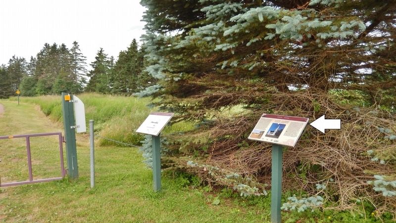
2. Kinkora Marker • wide view looking south
(Confederation Trail on left)
(Confederation Trail on left)
Le Sentier de la Confédération est composé de plus de 400 km de pistes cyclables qui vous mèneront d'un bout à l'autre de la province.
photo captions:
• Village of Kinkora from the trail / Village de Kinkora vu du sentier
• St. Malachy’s Church / Église St. Malachy
Erected by Prince Edward Island Museum & Heritage, Trans Canada Trail and Confederation Trail.
Topics. This historical marker is listed in these topic lists: Agriculture • Railroads & Streetcars • Roads & Vehicles • Settlements & Settlers. A significant historical year for this entry is 1832.
Location. 46° 19.326′ N, 63° 36.168′ W. Marker is in Kinkora, Prince Edward Island, in Prince County. It can be reached from Anderson Road (Prince Edward Island Route 225) just east of Somerset Street ( Route 109), on the right when traveling east. Marker is located in Kinkora Heritage Park, beside the Confederation Trail, about 75 yards south of Anderson Road. Touch for map. Marker is in this post office area: Kinkora PE C0B 1N0, Canada. Touch for directions.

Regionally, this marker is in North Cape Coastal P. E. I. It is also in
Photographed by Cosmos Mariner, July 17, 2019
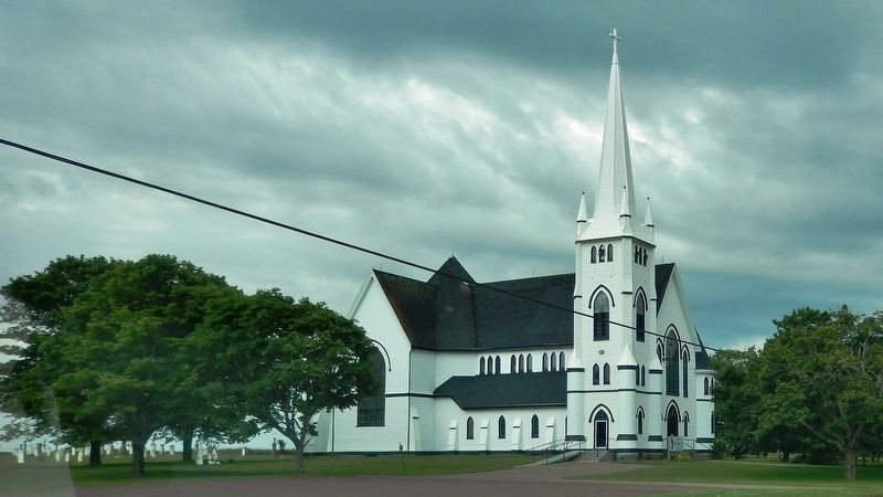
3. St. Malachy’s Church / Église St. Malachy
(3/4 km east of marker on Anderson Road)
(3/4 km east of marker on Anderson Road)
Other nearby markers. At least 8 other markers are within 11 kilometers of this marker, measured as the crow flies: Agriculture in Kinkora / L’agriculture à Kinkora (here, next to this marker); This Granite Rock (within shouting distance of this marker); Granite Mill Stone (within shouting distance of this marker); 1784 Bedeque Harbour Loyalists (approx. 7.9 kilometers away); Lucy Maud Montgomery Lower Bedeque Schoolhouse (approx. 7.9 kilometers away); Getting On and Off the Island / Liaison Entre l’Île et le Continent (approx. 8.3 kilometers away); Pioneer Cemetery (approx. 8.5 kilometers away); James Colledge Pope (approx. 10.1 kilometers away). Touch for a list and map of all markers in Kinkora.
Also see . . .
1. About Kinkora. A major agricultural centre located in the heart of Prince County, Kinkora, along with the neighboring communities of Emerald and Shamrock, is known as one of the most prosperous Irish regions on P.E.I. Settled originally by the Monaghans, a long-standing Irish clan, Kinkora is situated amidst the rolling fields and stands of indigenous foliage characteristic of the surrounding landscape. (Submitted on October 16, 2019, by Cosmos Mariner of Cape Canaveral, Florida.)
2. Kinkora, Prince Edward Island. The first European settlers came to Kinkora from Ireland in 1835. Formerly called “Somerset”, Kinkora is named for Kinora, near Killanloe, Ireland. The first Roman Catholic church was built in 1847 and the building lasted until 1911. (Submitted on October 16, 2019, by Cosmos Mariner of Cape Canaveral, Florida.)
Credits. This page was last revised on October 16, 2019. It was originally submitted on October 16, 2019, by Cosmos Mariner of Cape Canaveral, Florida. This page has been viewed 1,036 times since then and 87 times this year. Photos: 1, 2, 3. submitted on October 16, 2019, by Cosmos Mariner of Cape Canaveral, Florida.
