Forest Park in St. Louis, Missouri — The American Midwest (Upper Plains)
River Des Peres Sewage and Drainage Works
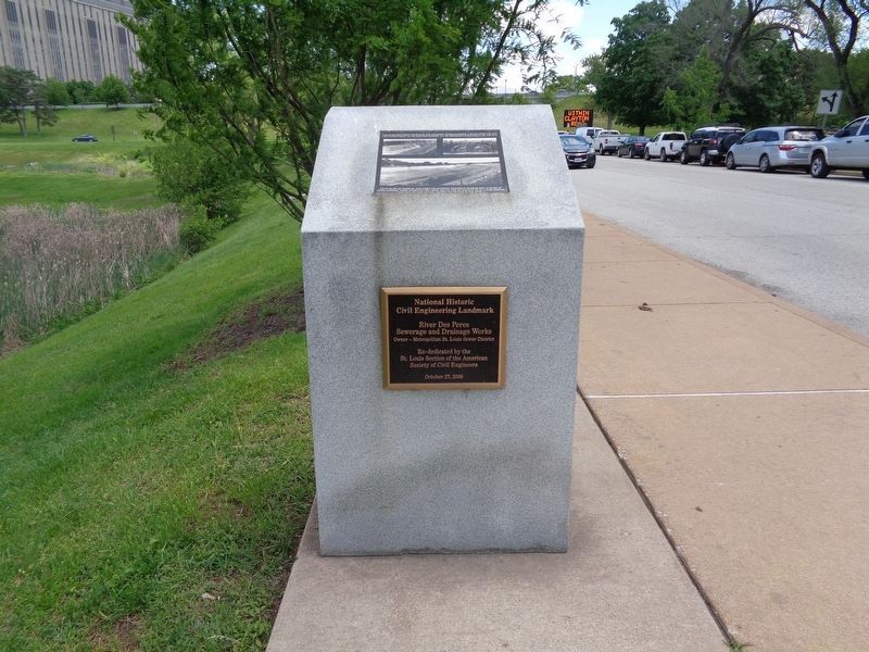
[Top plaque:]
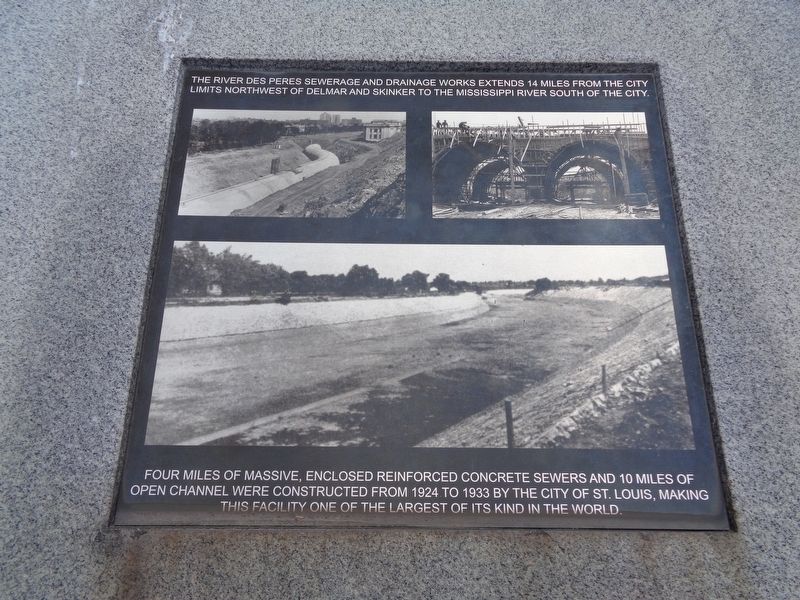
The River Des Peres Sewage and Drainage Works extends 14 miles from the city limits northwest to Delmar and Skinker to the Mississippi River south of the city.
Four miles of massive, enclosed reinforced concrete sewers and 10 miles of open channel were constructed from 1924 to 1933 by the City of St. Louis, making this facility one of the largest of its kind in the world.
[Bottom plaque:]
Civil Engineering Landmark
River Des Peres
Sewerage and Drainage Works
Owner — Metropolitan St. Louis Sewer District
Re-dedicated by the
St. Louis Section of the American
Society of Civil Engineers
October 27, 2008
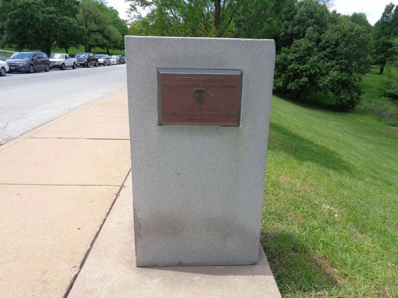
[Plaque on rear:]
Civil Engineering Landmark
River des Peres
Sewerage and Drainage Works
Designated 1988
Topics and series. This historical marker is listed in these topic lists: Charity & Public Work • Parks & Recreational Areas • Waterways & Vessels. In addition, it is included in the ASCE Civil Engineering Landmarks series list. A significant historical year for this entry is 1924.
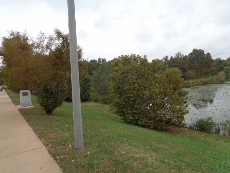
Location. 38° 37.983′ N, 90° 16.113′ W. Marker is in St. Louis, Missouri. It is in Forest Park. Marker is on Clayton Avenue, 0.4 miles west of South Kingshighway, on the right when traveling west. Marker is located near Jefferson Lake in Forest Park. Touch for map. Marker is at or near this postal address: 5100 Clayton Avenue, Saint Louis MO 63110, United States of America. Touch for directions.
Other nearby markers. At least 8 other markers are within walking distance of this marker. The James S. McDonnell Planetarium of the Saint Louis Science Center (approx. 0.2 miles away); Steinberg Skating Rink (approx. ¼ mile away); Restoring the Glory (approx. 0.3 miles away); Boeing Aviation Fields (approx. 0.4 miles away); The Jewel Box (approx. 0.6 miles away); American Jewish Tercentenary Memorial (approx. 0.7 miles away); The Muny (approx. 0.7 miles away); Welcome to Forest Park (approx. ¾ mile away). Touch for a list and map of all markers in St. Louis.
Credits. This page was last revised on January 30, 2023. It was originally submitted on October 17, 2019, by Jason Voigt of Glen Carbon, Illinois. This page has been viewed 419 times since then and 55 times this year. Photos: 1, 2, 3, 4. submitted on October 17, 2019, by Jason Voigt of Glen Carbon, Illinois. • Devry Becker Jones was the editor who published this page.


