Eastham in Barnstable County, Massachusetts — The American Northeast (New England)
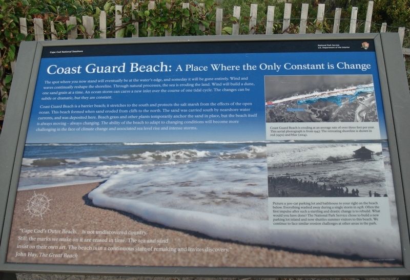
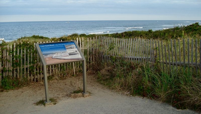
Coast Guard Beach:
A Place Where the Only Constant is Change
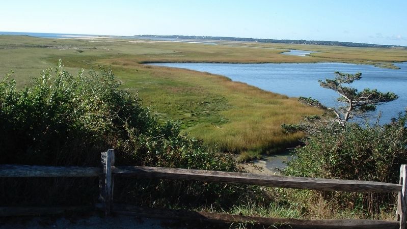
Coast Guard Beach is a barrier beach; it stretches to the south and protects the salt marsh from the effects of the open ocean. This beach formed when sand eroded from cliffs to the north. The sand was carried south by nearshore water currents, and was deposited here. Beach grass and other plants temporarily anchor the sand in place, but the beach itself is always moving-always changing. The ability of the beach to adapt to changing conditions will become more challenging in the face of climate change and associated sea level rise and intense storms.
“Cape Cod’s Outer Beach...is not undiscovered country. Still, the marks we make on it are erased in time. The sea and sand insist on their own art. The beach is in a continuous state of remaking and invites discovery”
John Hay, The Great Beach
( upper right photo caption )
Coast Guard Beach is eroding at an average rate of over three feet per year. This aerial photograph is from 1947. The retreating shoreline is shown in red (1970) and blue (2014).
( lower right photo caption )
Picture a 300-car parking lot and bathhouse to your right on the beach below. Everything washed away during a single storm in 1978. Often the first impulse after such a startling and drastic change is to rebuild. What would you have done? The National Park Service chose to build a new parking lot inland and now shuttles summer visitors to this beach. We continue to face similar erosion challenges at other areas in the park.
Erected by National Park Service and Cape Cod National Seashore.
Topics. This historical marker is listed in these topic lists: Disasters • Environment • Parks & Recreational Areas.
Location. 41° 50.606′ N, 69° 56.822′ W. Marker is in Eastham, Massachusetts, in Barnstable County. Marker can be reached from Ocean View Drive, 0.1 miles south of Doane Road. Marker is located 100 yards down the paved path east of 2 Ocean View Drive, Eastham, MA. 02642. Touch for map. Marker is in this post office area: Eastham MA 02642, United States of America. Touch for directions.
Other nearby markers. At least 8 other markers are within 2 miles of this marker, measured as the crow flies. Journey of the Mayflower (here, next to this marker); The Outermost House (a few steps
from this marker); Outermost cliff and solitary dune… (about 300 feet away, measured in a direct line); Doane Rock (approx. 0.6 miles away); The Long, Black Cable (approx. 1.2 miles away); Pushed Back by the Sea (approx. 1.2 miles away); The Nauset Lights (approx. 1.2 miles away); Nauset Beach Light Station (approx. 1.2 miles away). Touch for a list and map of all markers in Eastham.
Also see . . .
1. Blizzard of 1978 at Coast Guard Beach. (Submitted on October 17, 2019, by Alan M. Perrie of Unionville, Connecticut.)
2. Blizzard of 1978. (Submitted on October 17, 2019, by Alan M. Perrie of Unionville, Connecticut.)
3. 2019 Coast Guard Beach erosion. (Submitted on October 17, 2019, by Alan M. Perrie of Unionville, Connecticut.)
Credits. This page was last revised on October 20, 2019. It was originally submitted on October 17, 2019, by Alan M. Perrie of Unionville, Connecticut. This page has been viewed 314 times since then and 31 times this year. Photos: 1, 2, 3, 4. submitted on October 17, 2019, by Alan M. Perrie of Unionville, Connecticut. • Michael Herrick was the editor who published this page.


