Kingston in Marshall County, Oklahoma — The American South (West South Central)
Camp Leavenworth
About 2 mi. South
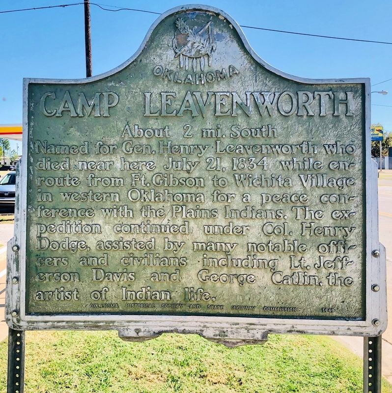
Photographed by Mark Hilton, October 21, 2019
1. Camp Leavenworth Marker
As of November 2025 this 77 year old marker is still in same condition.
Erected 1949 by Oklahoma Historical Society and State Highway Commission.
Topics and series. This historical marker is listed in these topic lists: Arts, Letters, Music • Indigenous Peoples and Communities • Peace • Wars, US Indian. In addition, it is included in the Oklahoma Historical Society series list. A significant historical date for this entry is July 21, 1834.
Location. 33° 59.929′ N, 96° 43.306′ W. Marker is in Kingston, Oklahoma, in Marshall County. It is on U.S. 70 west of Willis Street, on the right when traveling west. Touch for map. Marker is at or near this postal address: 206 US-70, Kingston OK 73439, United States of America. Touch for directions.

Regionally, this marker is in Oklahoma’s Chickasaw Nation. It is also in the American South,
this page online
Other nearby markers. At least 8 other markers are within 13 miles of this marker, measured as the crow flies: Herb Pate (approx. 6.9 miles away); Site of the Trading Post of Holland Coffee (approx. 9½ miles away in Texas); Sophia Porter (approx. 9½ miles away in Texas); Burney Institute (approx. 9.6 miles away); Fort Washita (approx. 12.3 miles away); General Douglas Hancock Cooper (approx. 12.4 miles away); Chickasaw Trail of Tears (approx. 12½ miles away); Colbert Family (approx. 12½ miles away).
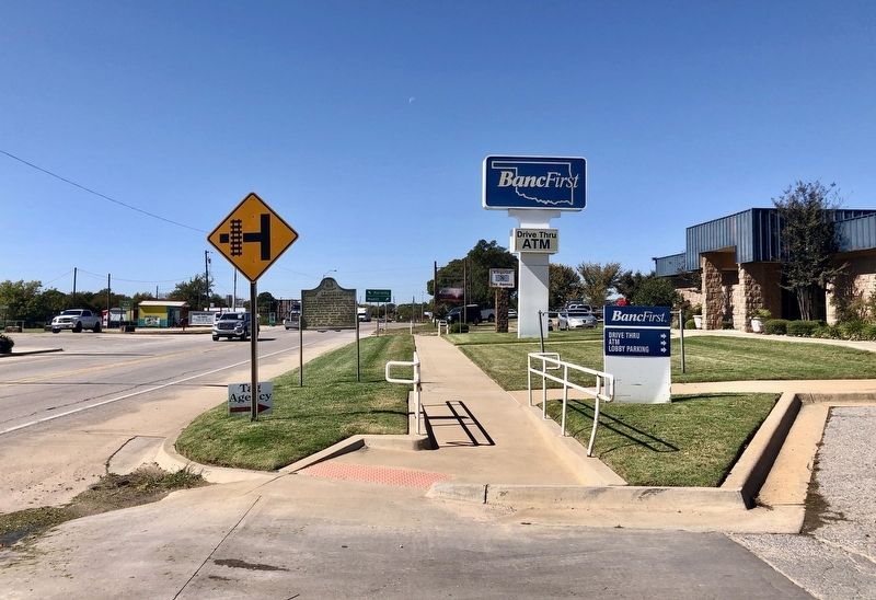
Photographed by Mark Hilton, October 21, 2019
2. Camp Leavenworth Marker looking west on US-70
Public domain (US-PD)
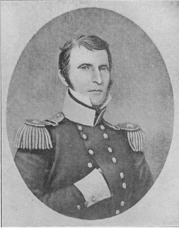
3. General Henry Leavenworth (December 10, 1783 – July 21, 1834)
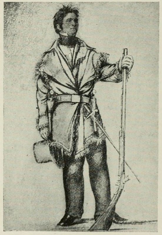
Public domain
4. Colonel Henry Dodge
George Catlin sketch of Colonel Henry Dodge, commander of the United States Mounted Rangers, 1833.
Public domain
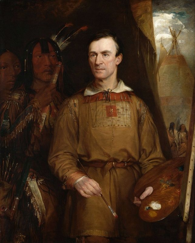
5. George Catlin by William Fisk.
Public domain
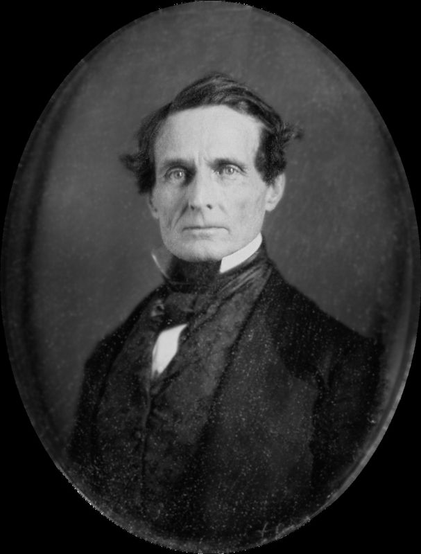
6. Jefferson Finis Davis (June 3, 1808 – December 6, 1889)
Credits. This page was last revised on April 16, 2026. It was originally submitted on October 21, 2019, by Mark Hilton of Montgomery, Alabama. This page has been viewed 1,816 times since then and 35 times this year. Photos: 1, 2, 3, 4, 5, 6. submitted on October 21, 2019, by Mark Hilton of Montgomery, Alabama.
