Near Ayelet HaShahar in Upper Galilee Regional Council, Northern District, Israel — West Asia (the Levant in the Middle East)
Tel Hazor - The Largest Tel in Israel
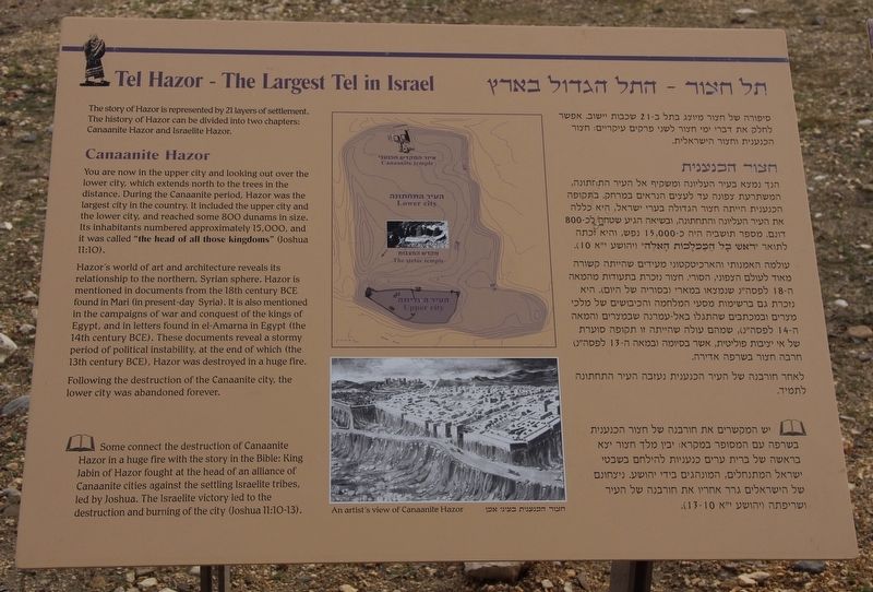
The story of Hazor is represented by 21 layers of settlement. The history of Hazor can be divided into two chapters: Canaanite Hazor and Israelite Hazor.
Canaanite Hazor
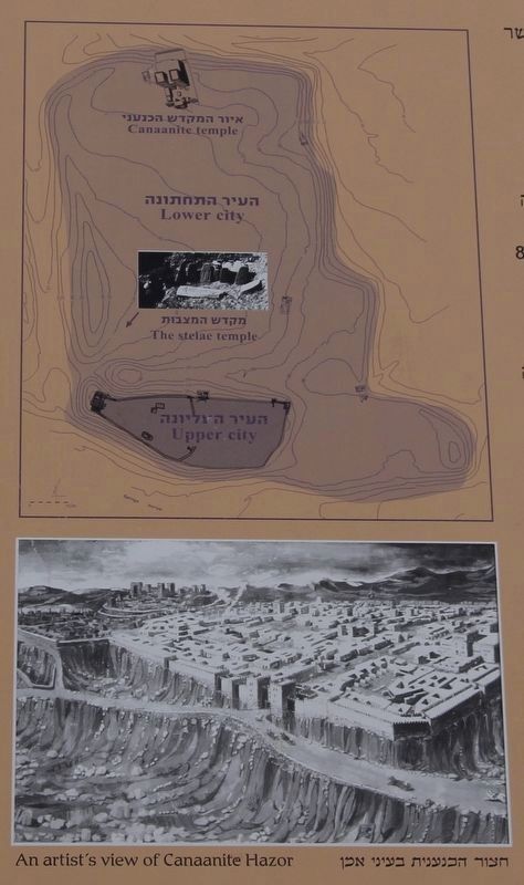
You are now in the upper city and looking out over the lower city, which extends north to the trees in the distance. During the Canaanite period, Hazor was the largest city in the country. It included the upper city and the lower city, and reached some 800 dunams in size. Its inhabitants numbered approximately 15,000, and it was called "the head of all those kingdoms" (Joshua 11:10).
Hazor's world of art and architecture reveals its relationship to the northern, Syrian sphere. Hazor is mentioned in documents from the 18th century BCE found in Mari (in present-day Syria). It is also mentioned in the campaigns of war and conquest of the kings of Egypt, and in letters found in el-Amarna in Egypt (the 14th century BCE). These documents reveal a stormy period of political instability, at the end of which (the 13th century BCE), Hazor was destroyed in a huge fire.
Following the destruction of the Canaanite city, the lower city was abandoned forever.
Some connect the destruction of Canaanite Hazor in a huge fire with the story in the Bible: King Jabin of Hazor fought at the head of an alliance of Canaanite cities against the settling Israelite tribes, led by Joshua. The Israelite victory led to the destruction and burning of the city (Joshua 11:10-13).
Topics. This historical marker is listed in these topic lists: Anthropology & Archaeology • Parks & Recreational Areas • Settlements & Settlers.
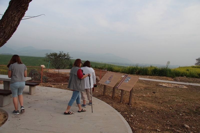
Location. 33° 1.06′ N, 35° 34.1′ E. Marker is near Ayelet HaShahar, Northern District, in Upper Galilee Regional Council. Marker can be reached from Rosh Pina - Metulla Road just east of Northern District Route 90, on the left when traveling east. This marker is located in the midst of the archaeological ruins at the Tel Hazor National Park. Touch for map. Touch for directions.
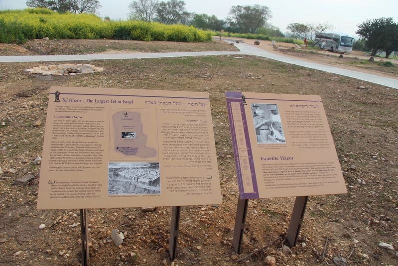
Other nearby markers. At least 8 other markers are within 13 kilometers of this marker, measured as the crow flies. Israelite Hazor (here, next to this marker); "Solomonic Gate" (a few steps from this marker); Tel Hazor National Park (a few steps from this marker); Canaanite Temple (within shouting distance of this marker); a different marker also named Canaanite Temple (within shouting distance of this marker); Palace of the Canaanite Kings of Hazor (about 90 meters away, measured in a direct line); Water System (about 150 meters away); Chorazin in Christian Sources (approx. 11.8 kilometers away). Touch for a list and map of all markers in Ayelet HaShahar.
More about this marker. This marker is located in the Tel Hazor National Park, in midst of the ruins of the various layers of ancient cultures. It is my impression that these ancient ruins are very significant in both the historical and archaeological record of ancient Israel, because several of the artifacts and structural elements that were found in these particular ruins are now on display in the Israel Museum in Jerusalem.
Hazor is also part of the Biblical record, being referenced nineteen (19) times, in eight (8) different books of the Old Testament.
Credits. This page was last revised on October 22, 2019. It was originally submitted on October 22, 2019, by Dale K. Benington of Toledo, Ohio. This page has been viewed 155 times since then and 9 times this year. Photos: 1, 2, 3, 4. submitted on October 22, 2019, by Dale K. Benington of Toledo, Ohio.


