Beit She'an, Northern District, Israel — West Asia (the Levant in the Middle East)
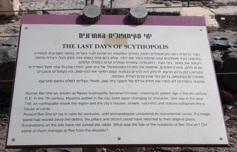
The Last Days of Scythopolis
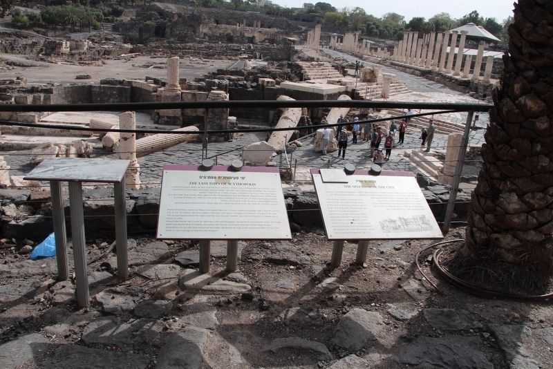
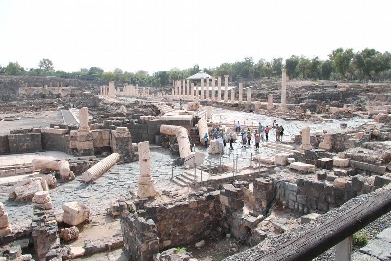
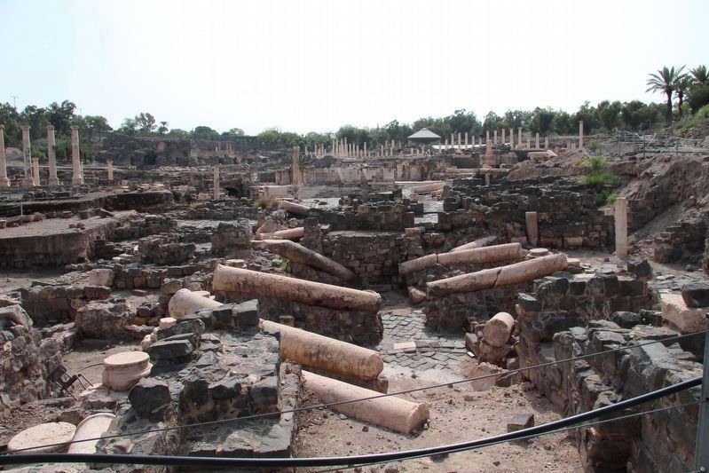
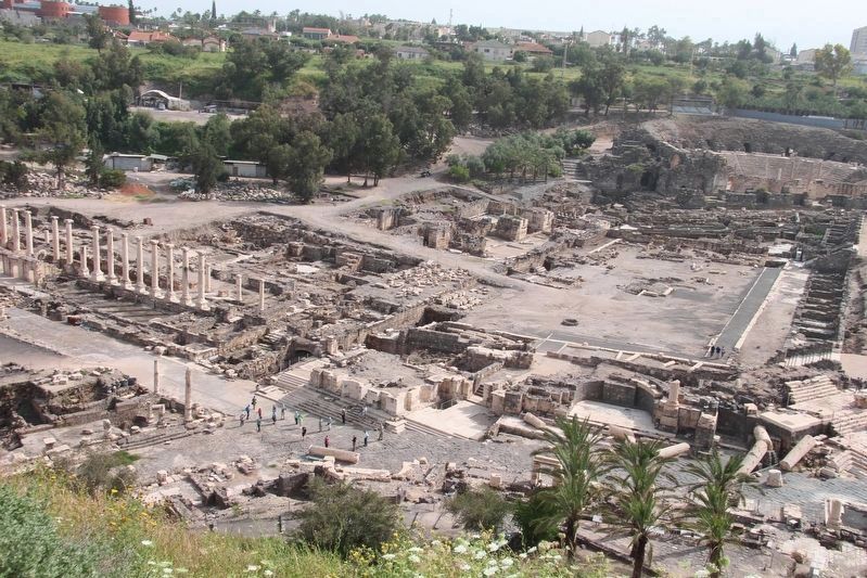
Roman Bet-She'an, known as Nyssa Scythopolis, became Christian, reaching its golden age in the 6th century C.E. In the 7th century, Muslims settled in the city, once again changing its character. One day in the year 749, an earthquake shook the region and the city's houses, streets, columns, and statues collapsed like a house of cards.
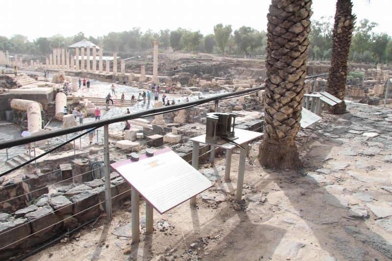
Ancient Bet-She'an lay in ruins for centuries, until archaeologists uncovered its monumental center. If a magic wand had waved away the debris, the pillars and stones could have returned to their original place.
Excavations on the site have not solved the riddle: What was the fate of the residents of Bet-She'an? Did some of them manage to flee from the disaster?
Topics. This historical marker is listed in these topic lists: Anthropology & Archaeology • Disasters • Parks & Recreational Areas • Settlements & Settlers.
Location. 32° 30.217′ N, 35° 30.13′ E. Marker is in Beit She'an, Northern District. Marker can be reached from Sha’ul HaMelech Street (Northern District Route 6667) just west of National Route 90, on the right when traveling west. This marker is located in the midst of the archaeological ruins at the Beit She'an National Park. Touch for map. Touch for directions.
Other nearby markers. At least 8 other markers are within walking distance of this marker. The Splendor of the City (here, next to this marker); Monument / Nymphaeum / Temple (here, next to this marker); Gateway to Paradise (within shouting distance of this marker); The Sigma / הסיגמה (about 120 meters away, measured in a direct line); The Agora / האגורה (about 150 meters away); Palladius Street (about 210 meters away); A Public Latrine in Bet-She'an (about 240 meters away); Cultic Area (about 240 meters away). Touch for a list and map of all markers in Beit She'an.
More about this marker. This marker is located in the Beit She'an National Park, in midst of the ruins of the various layers of ancient cultures. It is my impression that these ancient ruins are very significant in both the historical and archaeological record of ancient Israel, because several of the artifacts and structural elements that were found in these particular ruins are now on display in the Israel Museum in Jerusalem.
Beth-shean (a.k.a. Beit She'an and Beth-shan) is also part of the Biblical record, being referenced five (5) times, in four (4) different books of the Old Testament. Beth-shan (a.k.a.
Beit She'an and Beth-shean) is also part of the Biblical record, being referenced three (3) times, in two (2) different books of the Old Testament.
Credits. This page was last revised on October 24, 2019. It was originally submitted on October 23, 2019, by Dale K. Benington of Toledo, Ohio. This page has been viewed 138 times since then and 10 times this year. Photos: 1, 2, 3, 4, 5, 6. submitted on October 23, 2019, by Dale K. Benington of Toledo, Ohio.
