Sterling in Loudoun County, Virginia — The American South (Mid-Atlantic)
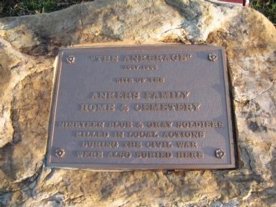
"The Ankerage"
site of the
Ankers Family
Home & Cemetery
nineteen blue & gray soldiers
killed in local actions
during the Civil War
were also buried here
Topics. This historical marker is listed in these topic lists: Cemeteries & Burial Sites • War, US Civil.
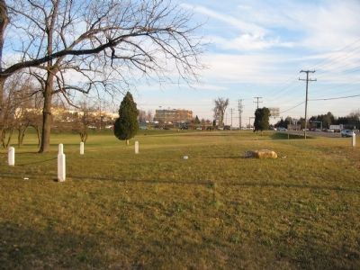
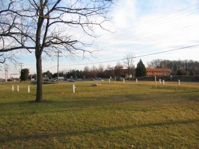
Location. 39° 1.591′ N, 77° 23.603′ W. Marker is in Sterling, Virginia, in Loudoun County. Marker is on Harry Byrd Highway (State Highway 7), on the right when traveling west. Located on the grounds of Northern Virginia Community College (Loudoun Campus). Touch for map. Marker is in this post office area: Sterling VA 20165, United States of America. Touch for directions.
Other nearby markers. At least 8 other markers are within walking distance of this marker. Dr. James R. Tiffany, Jr. Athletic Field (approx. 0.3 miles away); Guilford Signal Station (approx. ¾ mile away); Vestal's Gap Road in the 1800s (approx. 0.8 miles away); Vestal's Gap Road (approx. 0.8 miles away); Lanesville Historic Area (approx. 0.8 miles away); Lanesville House and Vestal's Gap Road (approx. 0.8 miles away); The Braddock Campaign (approx. 0.8 miles away); Lanesville Architecture (approx. 0.8 miles away). Touch for a list and map of all markers in Sterling.
Credits. This page was last revised on June 16, 2016. It was originally submitted on December 6, 2008, by Craig Swain of Leesburg, Virginia. This page has been viewed 1,608 times since then and 33 times this year. Photos: 1, 2, 3. submitted on December 6, 2008, by Craig Swain of Leesburg, Virginia.


