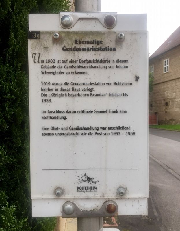
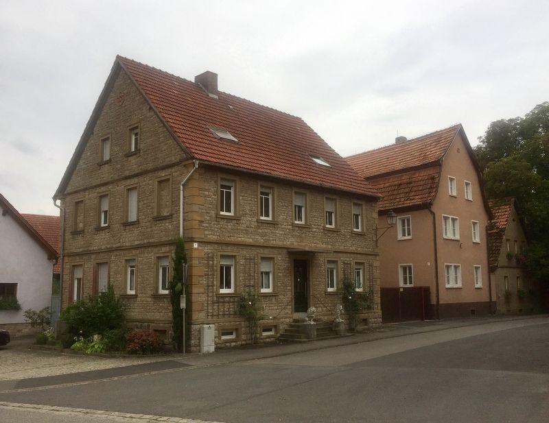
Ehemalige Gendarmeriestation / Former Police Station
1919 wurde die Gendarmeriestation von Kolitzheim hierher in dieses Haus verlegt. Die „Königlich bayerischen Beamten” blieben bis 1938.
Im Anschluss daran eröffnete Samuel Frank eine Stoffhandlung.
Eine Obst- und Gemüsehandlung war anschließend ebenso untergebracht wie die Post von 1953 - 1958.
-
On a village map from around 1902, the general store of Johann Schweighöfer was indicated as occupying this building.
In 1919 the building became the gendarmerie station of Kolitzheim.
"Royal Bavarian officials" stayed until 1938.
After that, Samuel Frank opened a fabric business.
A fruit and vegetable business, as well as the post office, then occupied the building from 1953-1958. (Marker Number 3g.)
Topics. This historical marker is listed in these topic lists: Industry & Commerce • Law Enforcement. A significant historical year for this entry is 1902.
Location. 49° 53.887′ N, 10°
Other nearby markers. At least 8 other markers are within walking distance of this marker. Ehem. Dorfbrauerei / Former Village Brewery (a few steps from this marker); Gemeindebäckerei / Community Bake-House (within shouting distance of this marker); Gasthaus "Zur Sonne" / Inn "at the Sun" (within shouting distance of this marker); Das Schloss / The Chateau (within shouting distance of this marker); Gerberhaus / Tanner's House (Brueckenstrasse 5) (within shouting distance of this marker); Spätbarockes Bürgerhaus / Late Baroque Patrician House (within shouting distance of this marker); Gerberhaueser / Tanners Houses (within shouting distance of this marker); ehem. Pfarrhaus - Pfarrhof / Former Rectory - Vicarage (within shouting distance of this marker). Touch for a list and map of all markers in Zeilitzheim.
Credits. This page was last revised on January 28, 2022. It was originally submitted on October 25, 2019, by Andrew Ruppenstein of Lamorinda, California. This page has been viewed 111 times since then and 5 times this year. Photos: 1. submitted on October 25, 2019, by Andrew Ruppenstein of Lamorinda, California. 2. submitted on October 26, 2019, by Andrew Ruppenstein of Lamorinda, California.

