Dinuba in Tulare County, California — The American West (Pacific Coastal)
Alta Irrigation District
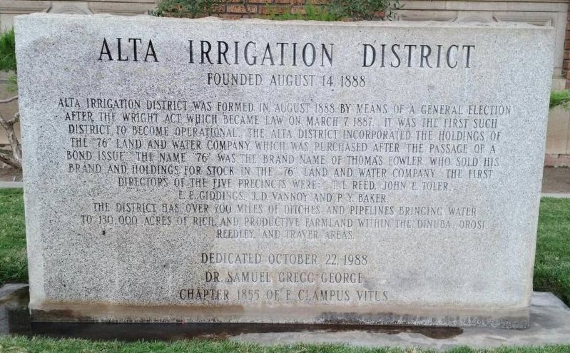
Founded August 14, 1888
Inscription.
Alta Irrigation District was formed in August 1888 by means of a general election
after the Wright Act, which became law on March 7, 1887. It was the first such district to become operational. The Alta District incorporated the holdings of the "76" land and water company, which was purchased after the passage of a bond issue. The name "76" was the brand name of Thomas Fowler who sold his brand and holdings for stock in the "76" land and water company. The first directors of the five precincts were, T.L. Reed, John E. Toler, E.E. Giddings, J.D. Vannoy and P.Y. Baker. The district has over 700 miles of ditches and pipelines bringing water to 130,000 acres of rich and productive farmland within the Dinuba, Orosi, Reedley and Traver areas.
Erected 1988 by Dr. Samuel Gregg George Chapter 1855 E Clampus Vitus.
Topics and series. This historical marker is listed in these topic lists: Agriculture • Environment • Settlements & Settlers. In addition, it is included in the E Clampus Vitus series list. A significant historical date for this entry is March 7, 1887.
Location. 36° 32.552′ N, 119° 23.541′ W. Marker is in Dinuba, California, in Tulare County. Marker is on North L Street, on the right when traveling south. Touch for map. Marker is at or near this postal address: 271 North L Street, Dinuba CA 93618, United States of America. Touch for directions.
Other nearby markers. At least 8 other markers are within 9 miles of this marker, measured as the crow flies. Poole's Ferry (approx. 4.6 miles away); Wagon Bridge (approx. 6 miles away); Major James D. Savage (approx. 7.1 miles away); Traver (approx. 8.4 miles away); The History of the Town Kingsburg (approx. 9 miles away); George Boyle (approx. 9.1 miles away); The Historic Kingsburg Jail (approx. 9.1 miles away); Fred French (approx. 9.1 miles away).
Credits. This page was last revised on November 23, 2019. It was originally submitted on October 26, 2019, by Frank Gunshow Sanchez of Hollister, California. This page has been viewed 278 times since then and 35 times this year. Photo 1. submitted on October 26, 2019, by Frank Gunshow Sanchez of Hollister, California. • J. Makali Bruton was the editor who published this page.
Editor’s want-list for this marker. Wide area view of the marker and its surroundings. • Can you help?
