Near Pensacola in Mayes County, Oklahoma — The American South (West South Central)
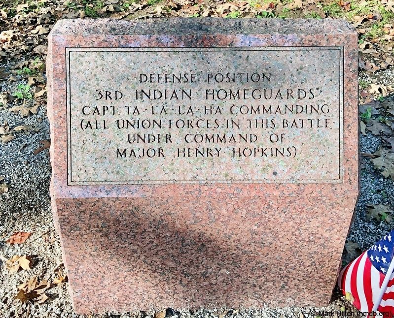
3rd Indian Homeguards
— Cabin Creek Battlefield —
Capt Ta - La - La - Ha Commanding
(All Union Forces in this battle
under command of
Major Henry Hopkins)
Erected by the Friends of Cabin Creek Battlefield, Inc.
Topics. This memorial is listed in these topic lists: Native Americans • War, US Civil.
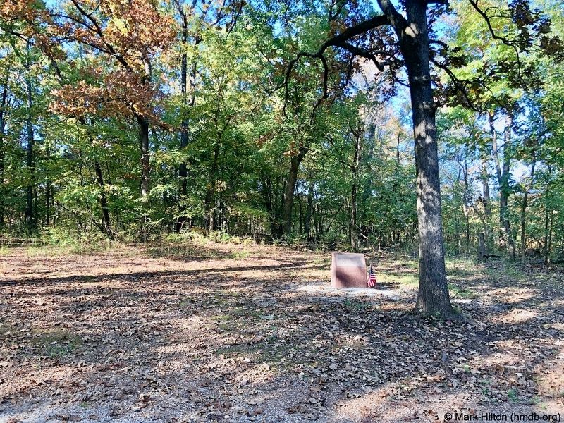
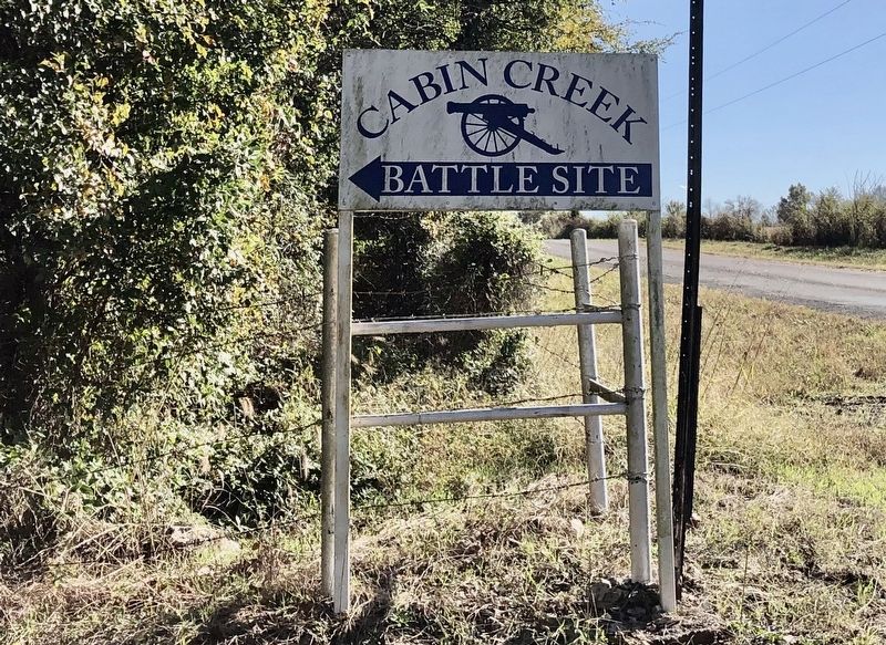
Location. 36° 29.357′ N, 95° 7.308′ W. Marker is near Pensacola, Oklahoma, in Mayes County. Memorial can be reached from Battle Site Road (E0367 Road), 0.7 miles east of County Road 4200. Touch for map. Marker is in this post office area: Big Cabin OK 74332, United States of America. Touch for directions.
Other nearby markers. At least 8 other markers are within 8 miles of this marker, measured as the crow flies. 2nd Indian Homeguards (a few steps from this marker); Confederate Soldiers (within shouting distance of this marker); 14th Kansas Cavalry (within shouting distance of this marker); 6th Kansas Cavalry (within shouting distance of this marker); 1st Kansas Colored Volunteer Infantry (within shouting distance of this marker); Cabin Creek (about 300 feet away, measured in a direct line); Old Military Road (approx. 4.3 miles away); Cabin Creek Battlefield (approx. 7˝ miles away). Touch for a list and map of all markers in Pensacola.
More about this marker. Although the Cabin Creek Battlefield is in Mayes County, close to Pensacola, its zipcode belongs to Vinita in Craig County.
Regarding 3rd Indian Homeguards. Preservation efforts began in 1961 when the Vinita Chapter of the United Daughters of the Confederacy purchased a ten-acre parcel in the core battlefield area. Later that year, the acreage was donated to the Oklahoma Historical Society, which has administered the site. A circle drive loop within the ten acres provides access to monuments and signage telling the story of the site. The Friends of Cabin Creek Battlefield, Inc., a group of dedicated citizens, form a non-profit organization that supports the preservation efforts.
Also see . . . Wikipedia article on the Battles at Cabin Creek. (Submitted on October 30, 2019, by Mark Hilton of Montgomery, Alabama.)
Credits. This page was last revised on January 8, 2020. It was originally submitted on October 30, 2019, by Mark Hilton of Montgomery, Alabama. This page has been viewed 164 times since then and 24 times this year. Photos: 1, 2, 3. submitted on October 30, 2019, by Mark Hilton of Montgomery, Alabama.


