Jerusalem, Jerusalem District, Israel — The Middle East (West Asia)
Tombs from the First Temple Period
Ketef Hinnom
| — | Menachem Begin Heritage Center | — |
Photographed by Dale K. Benington, April 8, 2019
1. Tombs from the First Temple Period Marker
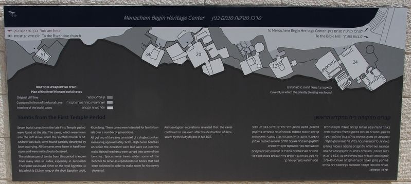
Seven burial caves from the late First Temple period were found at the site. The caves, which were hewn into the cliff above which the Scottish Church of St. Andrew was built, were found partially destroyed by later quarrying. All the caves were hewn in hard limestone and were meticulously designed.
The architecture of tombs from this period is known from many sites in Judea, especially in Jerusalem. Their plan was based either on the royal Egyptian cubit, which is 52.5 centimeters long, or the short Egyptian cubit, 45 centimeters long. These caves were intended for family burials over a number of generations.
All but two of the caves consisted of a single chamber measuring approximately 3 x 3 meters. High burial benches on which the deceased were laid were cut into the walls. Raised headrests were carved into some of the benches to serve as repositories for bones that had been collected in order to make room for the newly deceased.
Archaeological excavations revealed that the caves continued in use even after the destruction of Jerusalem by the Babylonians in 586 BCE.
Topics. This historical
this page online
Location. 31° 46.163′ N, 35° 13.511′ E. Marker is in Jerusalem, Jerusalem District. It can be reached from Sh.A. Nakhon Street just east of David Remez Street, on the right when traveling east. This marker is located in a small archaeological park, that is wedged in-between the backside of the Menachem Begin Heritage Center and the backside of the St Andrew's Scots Memorial Church, with a walkway entrance to the park off of the south side of Sh.A. Nakhon Street. Touch for map. Marker is in this post office area: Jerusalem, Jerusalem District 94110-14, Israel. Touch for directions.

Regionally, it is in Asia, specifically in West Asia, in the Middle East, in The Levant, on the Red Sea, in a coastal Mediterranean country, and in the Western World. Historically, it finds itself in what was once the Byzantine Empire, the Ottoman Empire, a British Mandate, and the Roman Empire.
Other nearby markers. At least 8 other markers are within walking distance
Photographed by Dale K. Benington, April 8, 2019
2. Tombs from the First Temple Period Marker
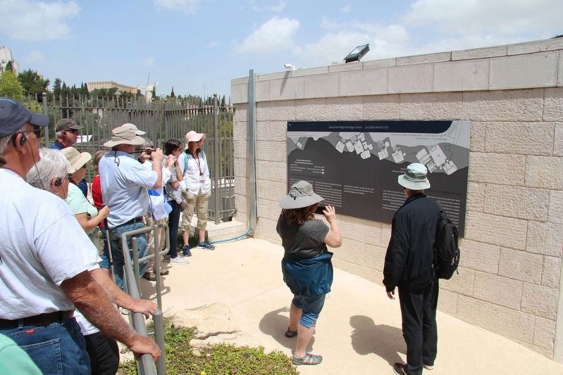
A distant view of the marker, affixed to the backside boundary wall, of the Menachem Begin Heritage Center, with a tour group pausing to look over the featured marker.
Regarding Tombs from the First Temple Period. It should be noted that the artifacts recovered at this site (in Cave 24), in particular the silver scroll amulets with the priestly blessing, were considered as being so significant that they were put on display at the Israel Museum in Jerusalem. These scrolls are so significant because they are, in essence, "...the sole scientific proof of the use of verses from the first five books of the Torah during the First Temple Period." (Menachem Begin Heritage Center website).
Also see . . .
1. Ketef Hinnom. This is a link to information provided by Wikipedia. (Submitted on October 31, 2019, by Dale K. Benington of Toledo, Ohio.)
2. The Ketef Hinnom Archaeological Site in Jerusalem.
Photographed by Dale K. Benington, April 8, 2019
3. Tombs from the First Temple Period Marker
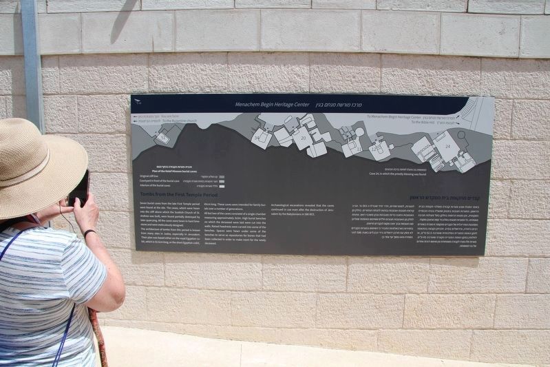
A close-up view of the marker, affixed to the backside boundary wall, of the Menachem Begin Heritage Center.

Photographed by Dale K. Benington, April 8, 2019
4. Tombs from the First Temple Period
View, looking south along the walkway, of the ruins of the remaining First Temple Period, rock-cut tombs, that are found at Ketef Hinnom.
Photographed by Dale K. Benington, April 8, 2019
5. Tombs from the First Temple Period
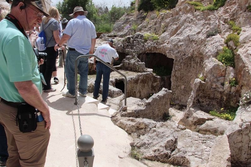
A distant view of what I believe is the opening entrance to Cave 12 of the Ketef Hinnom rock cut burial tombs.

Photographed by Dale K. Benington, April 8, 2019
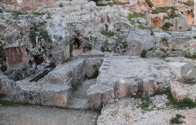
6. Tombs from the First Temple Period
A closer view of what I believe is the opening entrance to Cave 12 of the Ketef Hinnom rock cut burial tombs.
Photographed by Dale K. Benington, April 8, 2019
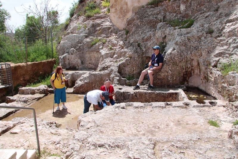
7. Tombs from the First Temple Period
View, looking west, of the partially exposed, burial cave 24.
Photographed by Dale K. Benington, April 8, 2019
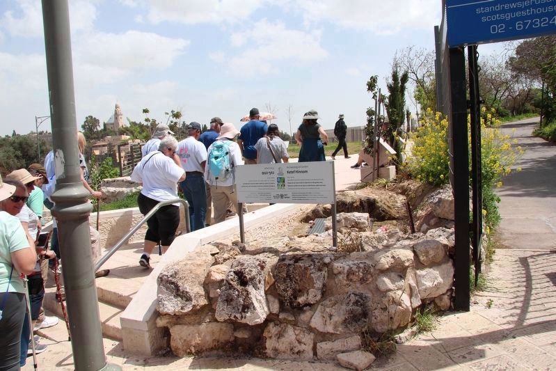
8. Tombs from the First Temple Period
View, looking south, of the partially exposed, burial cave 24.
Photographed by Dale K. Benington, April 8, 2019
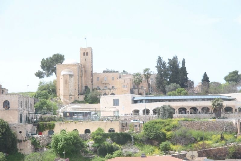
9. Ketef Hinnom, Archaeological Garden
View of the walking path, coming off of the south side of Sh.A. Nakhon Street, and leading into the Archaeological Garden where both Cave 24 and the marker are located.
Photographed by Dale K. Benington, April 8, 2019
10. Ketef Hinnom, Archaeological Garden
View of the Menachem Begin Heritage Center in the foreground, and the St Andrew's Scots Memorial Church in the background. The Ketef Hinnom, Archaeological Garden was wedged in-between the two.
Credits. This page was last revised on October 31, 2019. It was originally submitted on October 31, 2019, by Dale K. Benington of Toledo, Ohio. This page has been viewed 551 times since then and 61 times this year. Photos: 1, 2, 3, 4, 5, 6, 7, 8, 9, 10. submitted on October 31, 2019, by Dale K. Benington of Toledo, Ohio.
