Russellville in Pope County, Arkansas — The American South (West South Central)
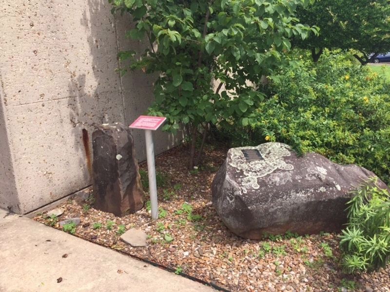
Military Road Marker Stone
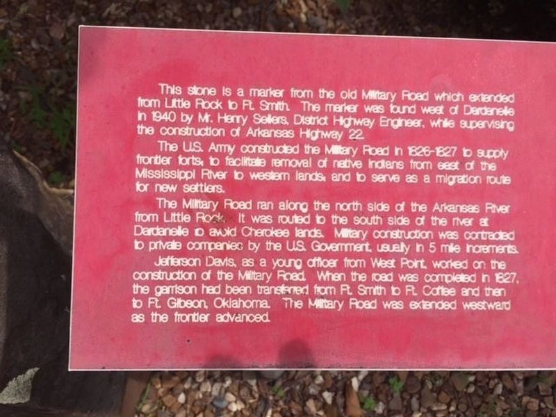
The U.S. Army constructed the Military Road in 1826-1827 to supply frontier forts, to facilitate removal of native Indians from east of the Mississippi River to western lands, and to serve as a migration route for new settlers.
The Military Road ran along the north side of the Arkansas River from Little Rock. It was routed to the south side of the river at Dardanelle to avoid Cherokee lands. Military construction was contracted to private companies by the U.S. Government, usually in 5 mile increments.
Jefferson Davis, as a young officer from West Point, worked on the construction of the Military Road. When the road was completed in 1827, the garrison had been transferred from Ft. Smith to Ft. Coffee and then to Ft. Gibson, Oklahoma. The Military Road was extended westward as the frontier advanced.
Topics. This historical marker is listed in these topic lists: Native Americans • Roads & Vehicles • Settlements & Settlers. A significant historical year for this entry is 1826.
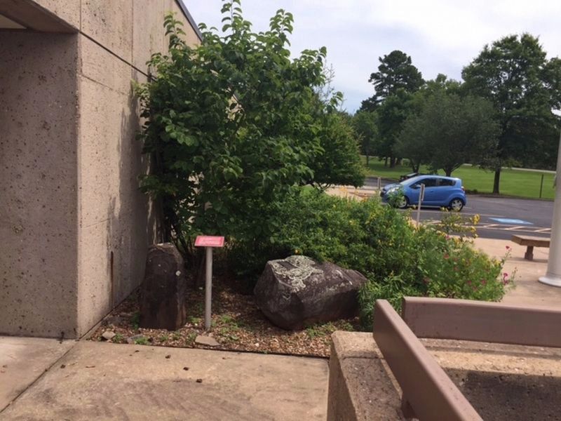
Location. 35° 15.153′ N, 93° 9.987′ W. Marker is in Russellville, Arkansas, in Pope County. Marker can be reached from Lock and Dam Road (Highway 7) west of Sheppard Drive. Located at the entrance to the Arkansas River Visitor Center. Touch for map. Marker is at or near this postal address: 1469 Lock and Dam Rd, Russellville AR 72802, United States of America. Touch for directions.
Other nearby markers. At least 8 other markers are within 2 miles of this marker, measured as the crow flies. Exploring the Arkansas (a few steps from this marker); Steamboats - Power on the River (within shouting distance of this marker); Washburn Cemetery (approx. 0.6 miles away); Action at Dardenelle (approx. 1.1 miles away); Old Brearley Cemetery (approx. 1˝ miles away); Council Oak (approx. 1.6 miles away); Dardanelle Confederate Monument (approx. 2.1 miles away); Yell County Council Oaks (approx. 2.1 miles away). Touch for a list and map of all markers in Russellville.
Credits. This page was last revised on October 31, 2019. It was originally submitted on October 31, 2019. This page has been viewed 348 times since then and 27 times this year. Photos: 1, 2, 3, 4. submitted on October 31, 2019.


