Franklin in Williamson County, Tennessee — The American South (East South Central)
Old Harpeth River Bridge
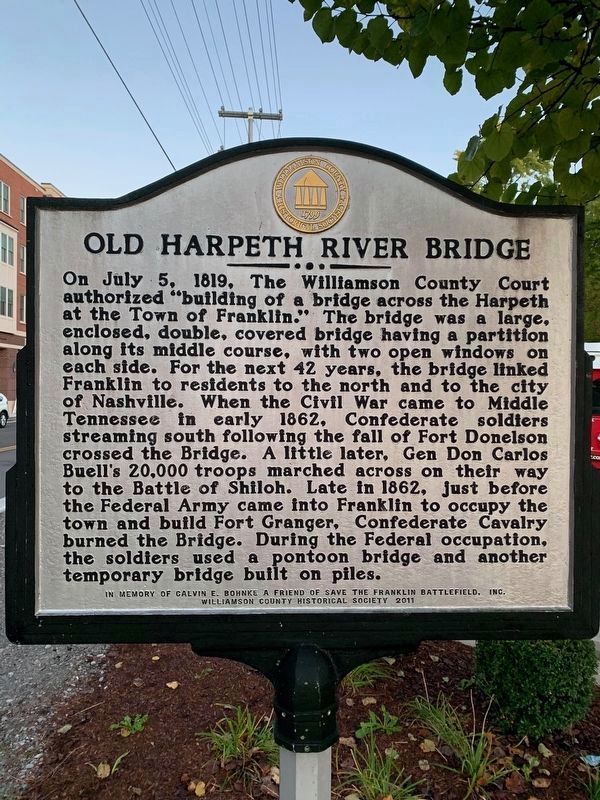
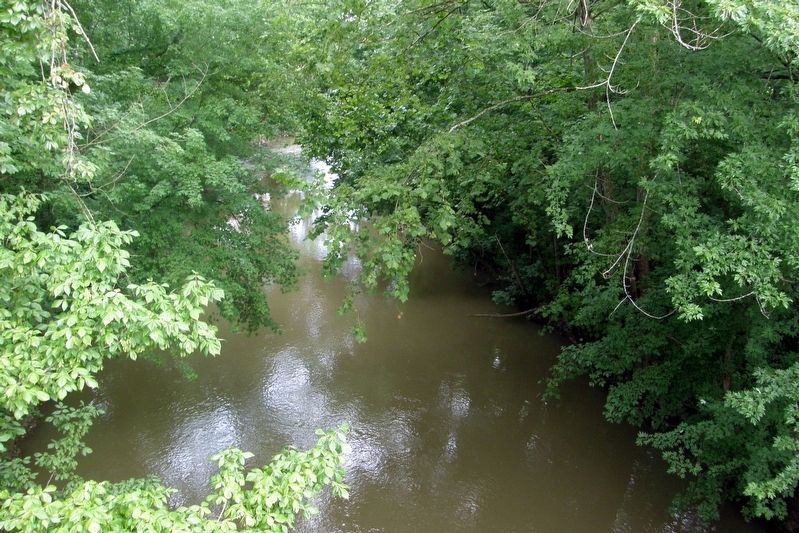
On July 5, 1819, The Williamson County Court authorized “building of a bridge across the Harpeth at the town of Franklin.” The bridge was a large, enclosed, double covered bridge having a partition along its middle course, with two open windows on each side. For the next 42 years, the bridge linked Franklin to residents north and to the city of Nashville. When the Civil War came to Middle Tennessee in early 1862, Confederate soldiers streaming south following the fall of Fort Donelson crossed the Bridge. A little later, Gen Don Carlos Buell’s 20,000 troops marched across on their way to the Battle of Shiloh. Late in 1862, just before the Federal army came into Franklin to occupy the town and build Fort Granger, Confederate Cavalry (sic) burned the bridge. During the Federal occupation, the soldiers used a pontoon bridge and another temporary bridge built on piles.
Reverse:
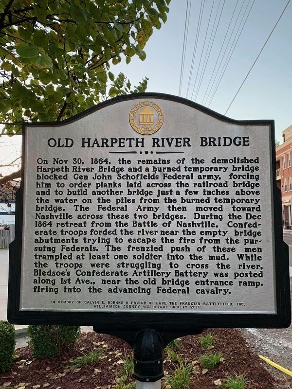
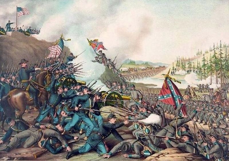
On Nov 30, 1864, the remains of the demolished Harpeth River bridge and a burned temporary bridge blocked Gen John Schofield’s Federal army, forcing him to order planks laid across the railroad bridge and to build another bridge just a few inches above the water on the piles from the burned temporary bridge. The Federal Army then moved towards Nashville across these two bridges. During the Dec (sic) 1864 retreat from the Battle of Nashville, Confederate troops forded the river near the empty bridge abutments trying to escape the fire from pursuing Federals. The frenzied push of these men trampled at least one soldier into the mud. While the troops were struggling to cross the river, Bledsoe’s Confederate Artillery Battery was posted along 1st Ave., near the old bridge entrance ramp, firing into the advancing Federal cavalry.
Williamson County Historical Society 2011
Erected 2011 by Williamson County Historical Society.
Topics and series. This historical marker is listed in these topic lists: Bridges & Viaducts • War, US Civil. In addition, it is included in the Tennessee – Williamson County Historical Society series list. A significant historical date for this entry is July 5, 1819.
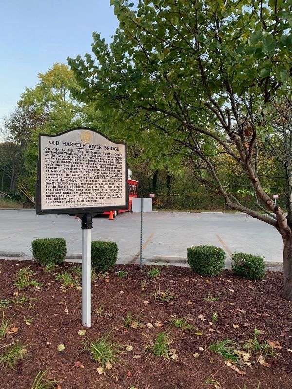
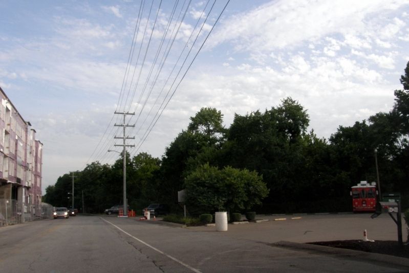
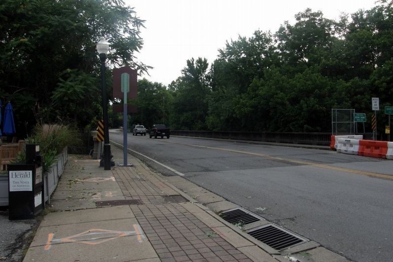
Location. 35° 55.624′ N, 86° 51.996′ W. Marker is in Franklin, Tennessee, in Williamson County. Marker is on 1st Avenue North north of East Main Street (Business U.S. 31), on the right when traveling north. Touch for map. Marker is at or near this postal address: 94 E Main St, Franklin TN 37064, United States of America. Touch for directions.
Other nearby markers. At least 8 other markers are within walking distance of this marker. Old Factory Store (about 300 feet away, measured in a direct line); Harpeth Square / Harpeth Square and Historic Neighbors (about 500 feet away); Williamson County Jail (about 500 feet away); John H. Eaton (about 500 feet away); Original St. Philip Catholic Church (about 500 feet away); St. Philip Catholic Church (about 500 feet away); Williamson County Jails / The Heritage Foundation of Franklin and Williamson County (about 500 feet away); Historic Franklin Masonic Hall (about 700 feet away). Touch for a list and map of all markers in Franklin.
Credits. This page was last revised on November 6, 2020. It was originally submitted on November 6, 2019, by Larry Gertner of New York, New York. This page has been viewed 526 times since then and 40 times this year. Last updated on November 6, 2019, by Larry Gertner of New York, New York. Photos: 1, 2, 3. submitted on November 6, 2020. 4, 5, 6, 7. submitted on November 6, 2019, by Larry Gertner of New York, New York. • J. Makali Bruton was the editor who published this page.
