Near Huron in Erie County, Ohio — The American Midwest (Great Lakes)
Old Woman Creek
A Feature of Ohio’s Estuaries
Photographed by J. J. Prats, August 8, 2019
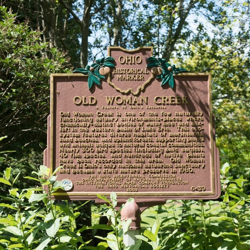
1. Old Woman Creek Marker
Old Woman Creek is one of the few naturally functioning estuary environments—places where chemically-distinct bodies of water meet and mix—left in the western basin of Lake Erie. This ecosystem features diverse habitats of marshlands, sand beaches, and upland forests, supporting plants and animals unique to natural coastal communities. Nearly 300 bird species (including bald eagles), 40 fish species, and hundreds of native plants have been recorded in the area. Old Woman Creek is Ohio’s only national estuarine sanctuary and became a state nature preserve in 1980.
Erected 2003 by the Ohio Bicentennial Commission, the Ohio Department of Natural Resources, the International Paper Company Foundation and The Ohio Historical Society. (Marker Number 6-39.)
Topics and series. This historical marker is listed in these topic lists: Environment • Parks & Recreational Areas. In addition, it is included in the Ohio Historical Society / The Ohio History Connection series list. A significant historical year for this entry is 1980.
Location. 41° 23.018′ N, 82° 30.893′ W. Marker is near Huron, Ohio, in Erie County. It is on Cleveland
this page online

Regionally, this marker is on the Lake Erie Shore and in the Western Reserve. It is also in the American Midwest and in the Corn Belt. Globally, it is in North America, on the Great Lakes, in the Western Hemisphere, in the Western World, and in the Anglosphere. Historically, it finds itself in what was once the Haudenosaunee (Iroquois) Confederacy, the territory of the Mississippian Culture, and the Northwest Territory.
Other nearby markers. At least 8 other markers are within 2 miles of this marker, measured as the crow flies: Nature-based shorelines can restore natural function to coastal areas. (within shouting distance of this marker); The Value of Wetlands (approx. half a mile away); Invasives (approx.
Photographed by J. J. Prats, August 8, 2019
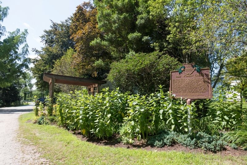
2. Old Woman Creek Marker
More about this marker. The marker is in a small, disconnected corner of the Old Woman Creek Estuary State Nature Preserve. The turnoff to the preserve’s visitors center and hiking trails is half a mile east, on the right. Well worth the visit. No charge to enter.
Photographed by J. J. Prats, August 8, 2019
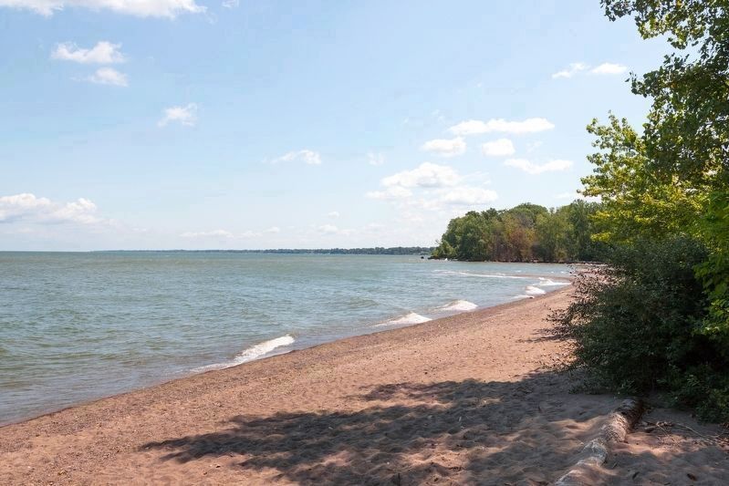
3. Old Woman Creek Barrier Beach
This secluded beach is just a few steps from the marker. There is parking for maybe half-a-dozen cars. On a weekday in high season (August) around noon there was no one else there.
Photographed by J. J. Prats, August 8, 2019
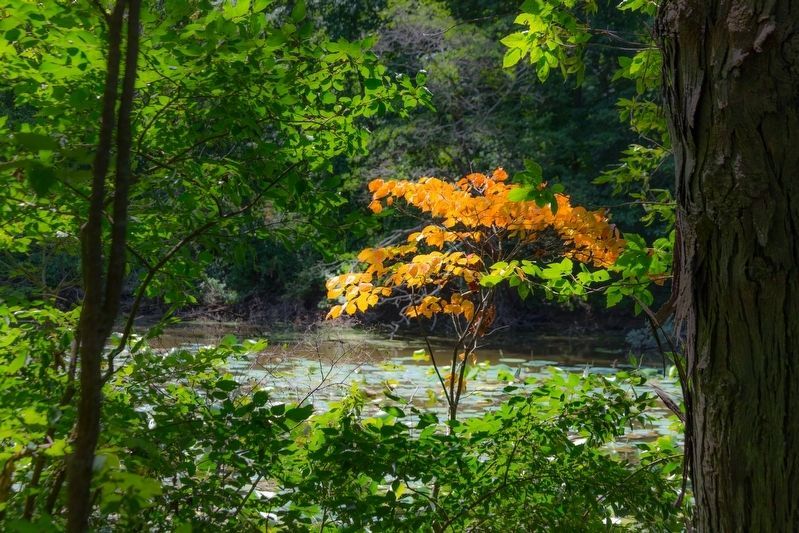
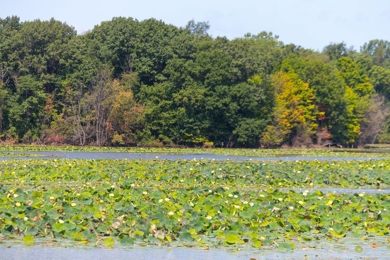
4. Old Woman Creek, near Huron Ohio
The banks and islands of the estuary are forested. This view is from one of the trails.
Photographed by J. J. Prats, August 8, 2019
5. Old Woman Creek Estuary, near Huron Ohio
Water lilies cover the dark waters of the estuary.
Photographed by J. J. Prats, August 8, 2019
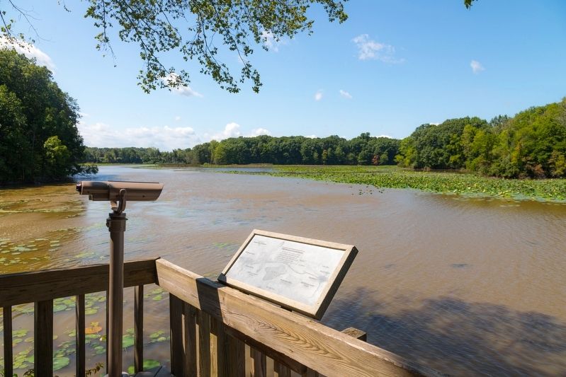
6. Old Woman Creek Estuary, near Huron Ohio
The interpretive panel shows a map of the estuary and reads,
At this site the waters of Lake Erie combine with Old Woman Creek to form a third type of water, chemically different from that of either creek or lake. — A gift from the Garden Club of Sandusky, 1986.
via Ohio Department of Natural Resources, unknown
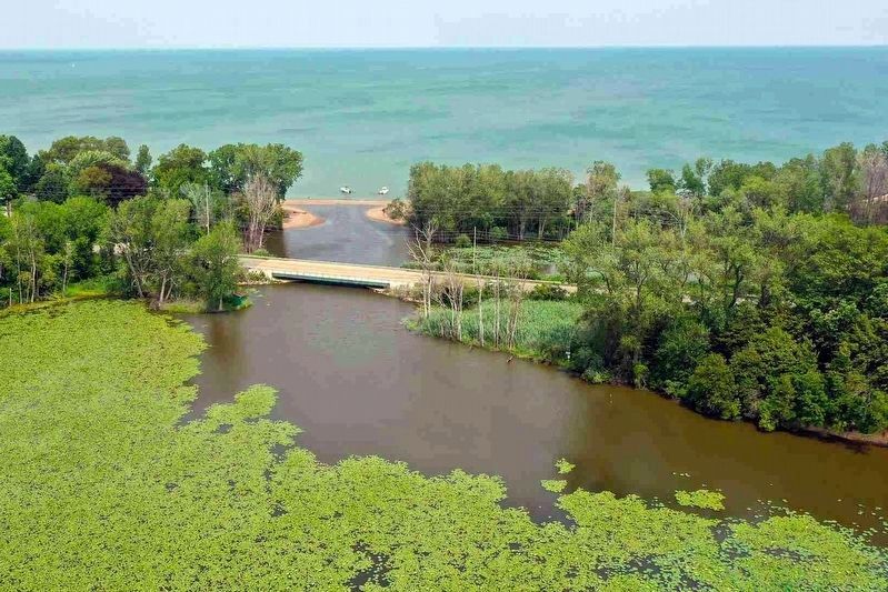
7. Old Woman Creek State Nature Preserve & National Estuarine Research Reserve.
Ohio Department of Natural Resources website entry
Click for more information.
Click for more information.
Credits. This page was last revised on March 18, 2024. It was originally submitted on November 8, 2019, by J. J. Prats of Powell, Ohio. This page has been viewed 810 times since then and 44 times this year. Photos: 1, 2, 3, 4, 5, 6. submitted on November 8, 2019, by J. J. Prats of Powell, Ohio. 7. submitted on March 18, 2024, by Larry Gertner of New York, New York.
