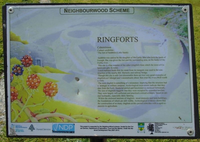
Ringforts
Cahersiveen
Cathair saidhbhin
'The fort of Saidhbin (Little Sarah)
Saidhbin was said to be the daughter of McCarthy Mor who held the lands of Iveragh. She was given the fort and the surrounding area, on the banks of the Fertha river.
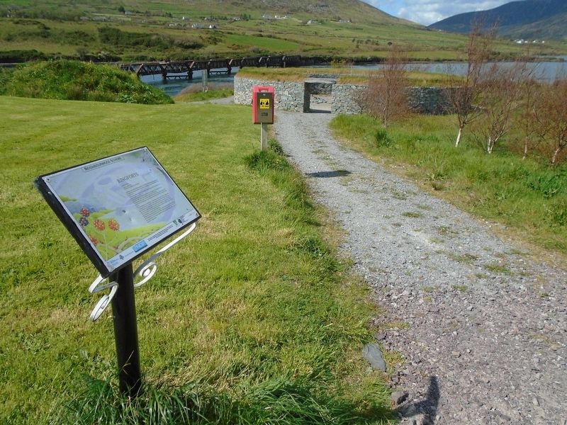
This site is what remains of the caher (ringfort) from which the town of Cahersiveen gets its name.
Local tradition holds that the stone from its ramparts was used in the construction of the nearby RIC Barracks and railway bridge.
Though this site is only just discernable there aree two very good examples of ringtforts [sic] at Cahergal and Leacanabuaile about 3km over the river. (Well worth a visit).
The term ringfort is something of a misnomer, implying that the structure had a strategic or military purpose. Archeological excavations indicate that they date from the Early Medieval period and functioned as enclosed farmsteads. The size of ringforts suggests that they were occupied by extended families. They were largely self-sufficient and practised a mixed economy based on animal husbandry, especially dairy farming.
Within the enclosed interiors of ringforts stood domestic and farm buildings, the foundations of which are still visible. Archeological evidence shows that the construction of so many ringforts at this period coincides with a rapid expansion
in agriculture.Erected by Neighbourwood Scheme, Forest Service, Dept of Agriculture, Food and the Marine, Kerry County Council, and Others.
Topics. This historical marker is listed in these topic lists: Agriculture • Forts and Castles • Man-Made Features • Settlements & Settlers.
Location. 51° 57.038′ N, 10° 13.289′ W. Marker is in Cahersiveen, Munster, in County Kerry. Marker is on Brendan's Terrace, 0.3 kilometers east of Bridge Street, on the left when traveling east. Marker and ringfort are in the town park. Touch for map. Touch for directions.
Other nearby markers. At least 8 other markers are within walking distance of this marker. Atlantic College of Wireless & Cable Telegraphy (within shouting distance of this marker); Sive Fort (within shouting distance of this marker); The Railway (within shouting distance of this marker); Railway and O'Connell (about 90 meters away, measured in a direct line); The Barracks Heritage Centre (about 240 meters away); War Memorial (approx. 0.4 kilometers away); Presentation Convent (approx. 0.4 kilometers away); O'Connell Memorial Church (approx. half a kilometer away). Touch for a list and map of all markers in Cahersiveen.
Also see . . .
1. Cahersiveen at Wikipedia. (Submitted on November 9, 2019, by William Fischer, Jr. of Scranton, Pennsylvania.)
2. Cahersiveen Kerry. (Submitted on November 9, 2019, by William Fischer, Jr. of Scranton, Pennsylvania.)
3. Cahergal and Leacanabuaile - Old Irish Stone Forts or Ring Forts. (Submitted on November 9, 2019, by William Fischer, Jr. of Scranton, Pennsylvania.)
4. Ringfort at Wikipedia. (Submitted on November 9, 2019, by William Fischer, Jr. of Scranton, Pennsylvania.)
Credits. This page was last revised on November 10, 2019. It was originally submitted on November 9, 2019, by William Fischer, Jr. of Scranton, Pennsylvania. This page has been viewed 123 times since then and 12 times this year. Photos: 1, 2. submitted on November 9, 2019, by William Fischer, Jr. of Scranton, Pennsylvania.

