The Railway
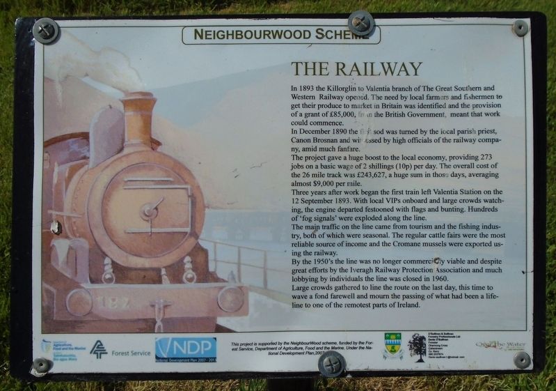
In 1893 the Killorglin to Valentia branch of The Great Southern and Western Railway opened. The need by local farmers and fishermen to get their produce to market in Britain was identified and the provision of a grant of £85,000, from the British Government, meant that work could commence.
In December 1890 the first sod was turned by the local parish priest, Canon Brosnan and witnessed by high officials of the railway company, amid much fanfare.
The project gave a huge boost to the economy, providing 273 jobs on a basic wage of 2 shillings (10p) per day. The overall cost of the 26 mile track was £243,627, a huge sum in those days, averaging almost $9,000 per mile.
Three years after work began the first train left Valentia Station on the 12 September 1893. With local VIPs onboard and large crowds watching, the engine departed festooned with flags and bunting. Hundreds of 'fog signals' were exploded along the line.
The main traffic on the line came from tourism and the fishing industry, both of which were seasonal. The regular cattle fairs were the most reliable source of income and the Cromane mussels were exported
this page online
By the 1950's the line was no longer commercially viable and despite great efforts by the Iveragh Railway Protection Association and much lobbying by individuals the line was closed in 1960.
Large crowds gathered to line the route on the last day, this time to wave a fond farewell and mourn the passing of what had been a lifeline to one of the remotest parts of Ireland.
Erected by Neighbourwood Scheme, Forest Service, Dept of Agriculture, Food and the Marine, Kerry County Council, and Others.
Topics. This historical marker is listed in these topic lists: Bridges & Viaducts • Industry & Commerce • Man-Made Features • Railroads & Streetcars. A significant historical date for this entry is September 12, 1893.
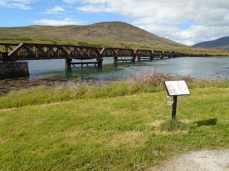
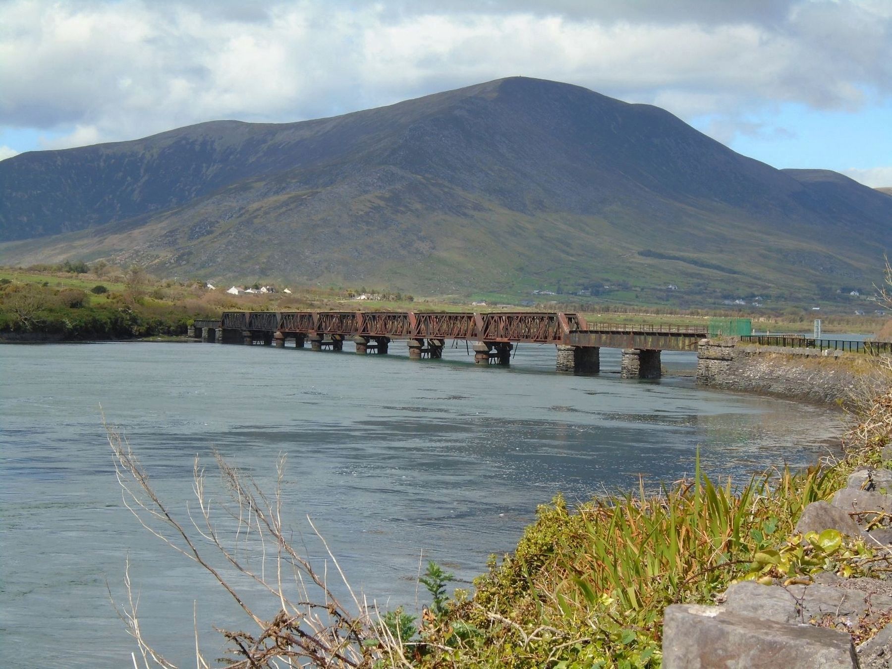
Location. 51° 57.055′ N, 10° 13.352′ W. Marker is in Cahersiveen, Munster, in County Kerry. It can be reached from Brendan's Terrace. Marker is along the riverside trail in the town park, not far from the south railway bridge abutment, about 0.1 km north of Brendan's Terrace. Touch for map. Touch for directions.
Regionally, it is on the Atlantic Ocean, in the North Atlantic Region, on the Atlantic Arc,
Other nearby markers. At least 8 other markers are within walking distance of this marker: Railway and O'Connell (a few steps from this marker); Sive Fort (within shouting distance of this marker); Ringforts (within shouting distance of this marker); Atlantic College of Wireless & Cable Telegraphy (about 90 meters away, measured in a direct line); The Barracks Heritage Centre (about 210 meters away); War Memorial (approx. 0.4 kilometers away); Presentation Convent (approx. 0.4 kilometers away); O'Connell Memorial Church (approx. half a kilometer away). Touch for a list and map of all markers in Cahersiveen.
Also see . . . Great Southern and Western Railway at Wikipedia. (Submitted on November 9, 2019, by William Fischer, Jr. of Reynoldsburg, Ohio.)
Credits. This page was last revised on August 21, 2020. It was originally submitted on November 9, 2019, by William Fischer, Jr. of Reynoldsburg, Ohio. This page has been viewed 249 times since then and 50 times this year. Photos: 1, 2, 3. submitted on November 9, 2019, by William Fischer, Jr. of Reynoldsburg, Ohio.
