Railway and O'Connell
Daniel O'Connell Heritage Trail Stop 2
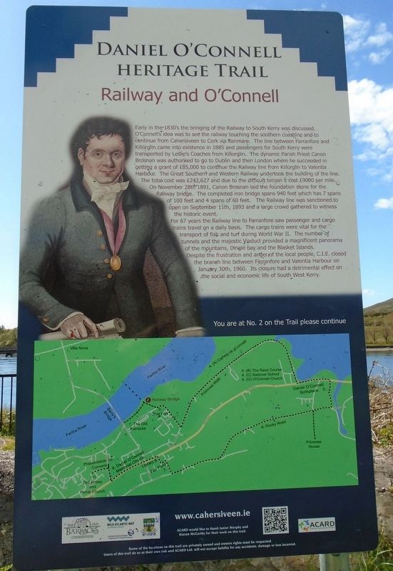
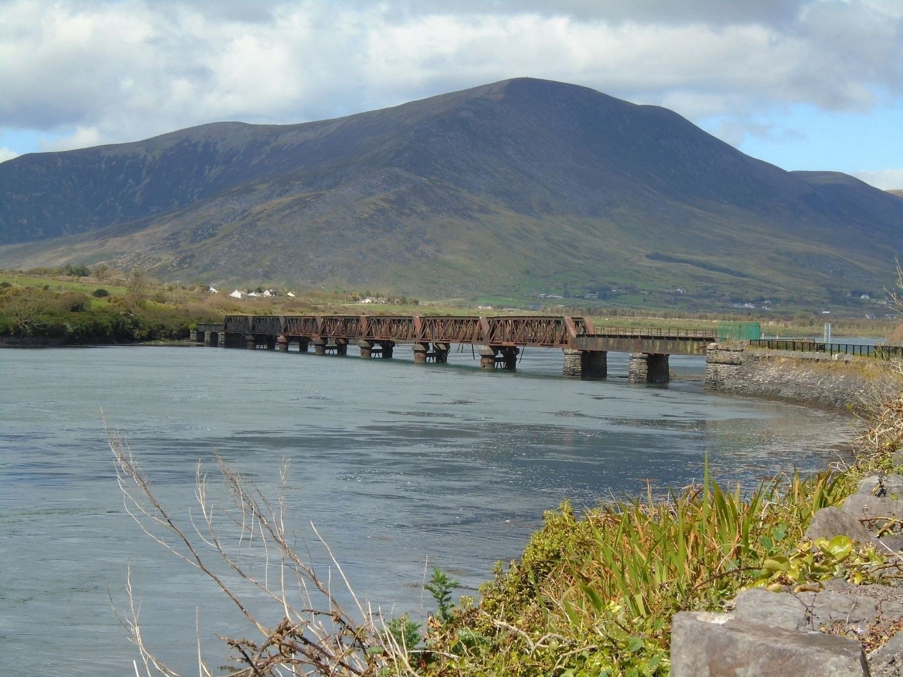
Early in the 1830's the bringing of the Railway to South Kerry was discussed. O'Connell's idea was to see the railway touching the southern coastline and to continue from Cahersiveen to Cork via Kenmare. The line between Farranfore and Killorglin came into existence in 1885 and passengers for South Kerry were transported by Leslie's Coaches from Killorglin. The dynamic Parish Priest Canon Brosnan was authorised to go to Dublin and then London where he succeeded in getting a grant of £85,000 to continue the Railway line from Killorglin to Valentia Harbour. The Great Southern and Western Railway undertook the building of the line. The total cost was £243,627 and due to the difficult terrain it cost £9000 per mile. On November 28th 1891, Canon Brosnan laid the foundation stone for the Railway bridge. The completed iron bridge spans 940 feet which has 7 spans of 100 feet and 4 spans of 60 feet. The Railway line was sanctioned to open on September 11th, 1893 and a large crowd gathered to witness the historic event.
For 67 years the Railway line to Farranfore saw passenger and cargo trains travel on a daily basis. The cargo trains were vital for the transport of fish and turf during World War II. The number of tunnels and the majestic Viaduct provided a magnificent panorama of the mountains, Dingle bay and the Blasket Islands. Despite
the frustration and anger of the local people. C.I.E. closed the branch line between Farranfore and Valentia Harbour on January 30th, 1960. Its closure had a detrimental effect on the social and economic life of South West Kerry.
You are at No. 2 on the Trail please continue
Erected by ACARD Ltd, The Old Barracks, Wild Atlantic Way, Kerry County Council, and Dept of Social Protection.
Topics. This historical marker is listed in these topic lists: Industry & Commerce • Man-Made Features • Railroads & Streetcars. A significant historical year for this entry is 1885.
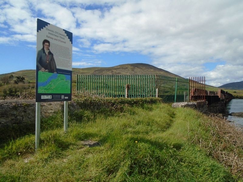
Location. 51° 57.052′ N, 10° 13.366′ W. Marker is in Cahersiveen, Munster, in County Kerry. Marker is along the riverside trail, adjacent to the south railway bridge abutment, about 0.1 km north of Brendan's Terrace. Touch for map. Touch for directions.
Other nearby markers. At least 8 other markers are within walking distance of this marker. The Railway (a few steps from this marker); Sive Fort (about 90 meters away, measured in a direct line); Ringforts (about 90 meters away); Atlantic College of Wireless & Cable Telegraphy (about 90 meters away); The Barracks Heritage Centre (about 180 meters away); War Memorial (approx. 0.4 kilometers away); Presentation Convent (approx. 0.4 kilometers away); O'Connell Memorial Church (approx. half a kilometer away). Touch for a list and map of all markers in Cahersiveen.
Also see . . .
Credits. This page was last revised on August 21, 2020. It was originally submitted on November 10, 2019, by William Fischer, Jr. of Scranton, Pennsylvania. This page has been viewed 125 times since then and 13 times this year. Photos: 1, 2. submitted on November 10, 2019, by William Fischer, Jr. of Scranton, Pennsylvania. 3. submitted on November 9, 2019, by William Fischer, Jr. of Scranton, Pennsylvania.


