Battle of Peach Tree Creek
Loring's Attack
| — | Atlanta Campaign Heritage Trail | — |
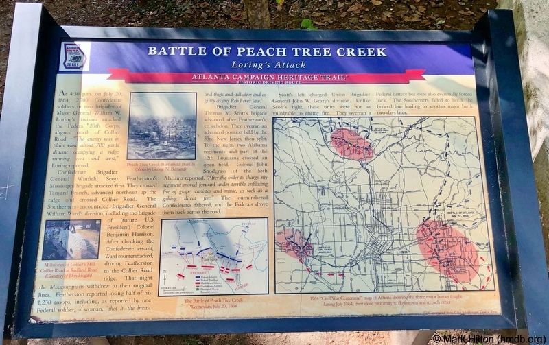
Confederate Brigadier General Winfield Scott Featherston's Mississippi brigade attacked first. They crossed Tanyard Branch, advanced northeast up the ridge and crossed Collier Road. The Southerners encountered Brigadier General William Ward's division, including the brigade of (future U.S. President) Colonel Benjamin Harrison After checking the Confederate assault, Ward counterattacked driving Featherston to the Collier Road ridge. That night the Mississippians withdrew to their original lines. Featherston reported losing half of his 1,230 troops, including, as reported by one Federal soldier, a woman, "shot in the breast and thigh and still alive and as gritty as any Reb I ever saw."
Brigadier General Thomas M. Scott's brigade advanced after Featherston's, en echelon. They overran an advanced position held by the 33rd New
this page online
Scott's left charged Union Brigadier General John W. Geary's division. Unlike Scott's right, these units were not as vulnerable to enemy fire. They overran a Federal battery but were also eventually forced back. The Southerners failed to break the Federal line leading to another major battle two days later.
Erected by Georgia Civil War Heritage Trails, Inc. (Marker Number 25.)
Topics and series. This historical marker is listed in this topic list: War, US Civil. In addition, it is included in the Former U.S. Presidents: #23 Benjamin Harrison, and the Georgia Civil War Trails series lists. A significant historical date for this entry is July 20, 1864.
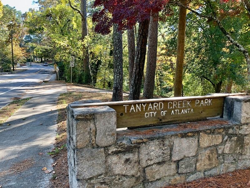
Location. 33° 48.629′ N, 84° 24.183′ W. Marker is in Atlanta, Georgia, in Fulton County. It is
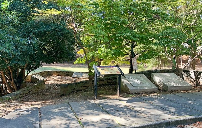

Regionally, this marker is in the Piedmont. It is also in the American South and specifically in the Deep South. Globally, it is in North America, the Western Hemisphere, the Western World, and the Anglosphere. Historically, it finds itself in what was once the territory of the Mississippian Culture, one of the original Thirteen Colonies, one of the Confederate States of America, and the Antebellum South.
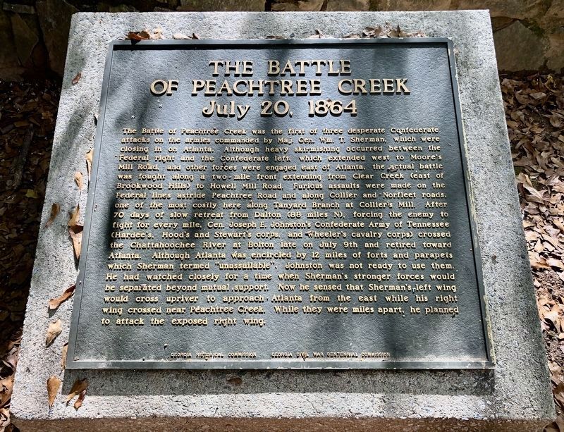
Other nearby markers. At least 8 other markers are within walking distance of this marker: The Federal Forces Engaged/The Confederate Forces Engaged (here, next to this marker); The Federal Advance (here, next to this marker); The Federal Advance, Cont./The Change of Command (here, next to this marker); The Confederate Attack (here, next to this marker); The Confederate Attack, Cont. (here, next to this marker); The Battle of Peachtree Creek
Also see . . . Wikipedia article on the Battle of Peachtree Creek. (Submitted on November 12, 2019, by Mark Hilton of Montgomery, Alabama.)
Credits. This page was last revised on February 8, 2023. It was originally submitted on November 12, 2019, by Mark Hilton of Montgomery, Alabama. This page has been viewed 1,279 times since then and 105 times this year. Photos: 1, 2, 3, 4. submitted on November 12, 2019, by Mark Hilton of Montgomery, Alabama.
