Big Sandy in Chouteau County, Montana — The American West (Mountains)
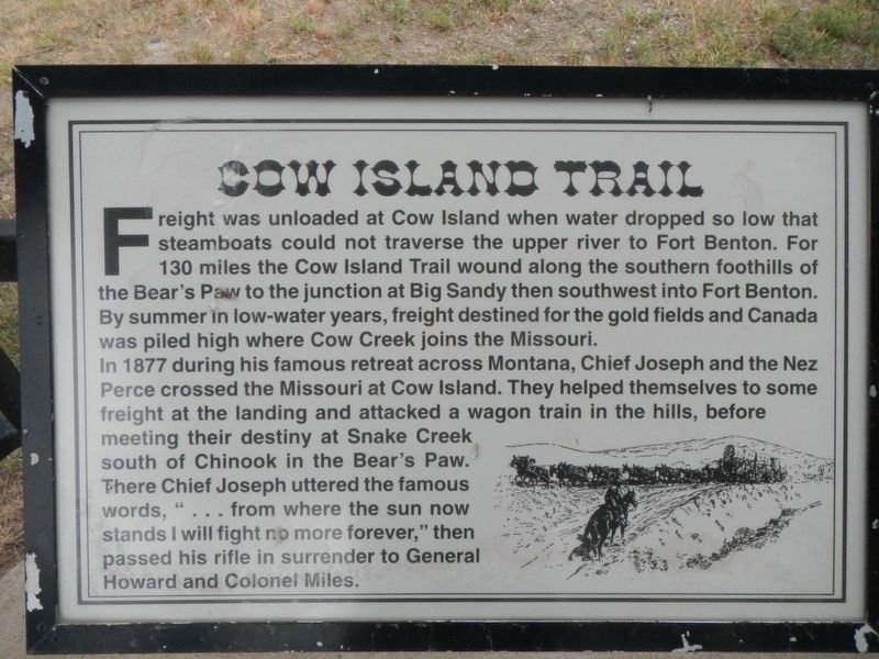
Cow Island Trail
In 1877 during his famous retreat across Montana, Chief Joseph and the Nez Perce crossed the Missouri at Cow Island. They helped themselves to some freight at the landing and attacked a wagon train in the hills, before meeting their destiny at Snake Creek south of Chinook in the Bear's Paw. There Chief Joseph uttered the famous words, "... from where the sun now stands I will fight no more forever," then passed his rifle in surrender to General Howard and Colonel Miles.
Topics. This historical marker is listed in these topic lists: Native Americans • Roads & Vehicles.
Location. 48° 10.783′ N, 110° 6.655′ W. Marker is in Big Sandy, Montana, in Chouteau County. Marker is at the intersection of Broadway (U.S. 87) and McNamara Avenue, on the left when traveling north on Broadway. Touch for map. Marker is at or near this postal address: 79346 US Highway 87, Big Sandy MT 59520, United States of America. Touch for directions.
Other nearby markers. At least 7 other markers are within 13 miles of this marker, measured as the crow flies. Big Sandy (here, next to this marker); Fort Walsh Trail (here, next to this marker); Judith Landing (here, next to this marker); An Island on the Plains (within shouting distance of this marker); Coal Banks Landing (approx. 11.7 miles away); Virgelle Mercantile (approx. 13 miles away); Virgelle State Bank (approx. 13.1 miles away).
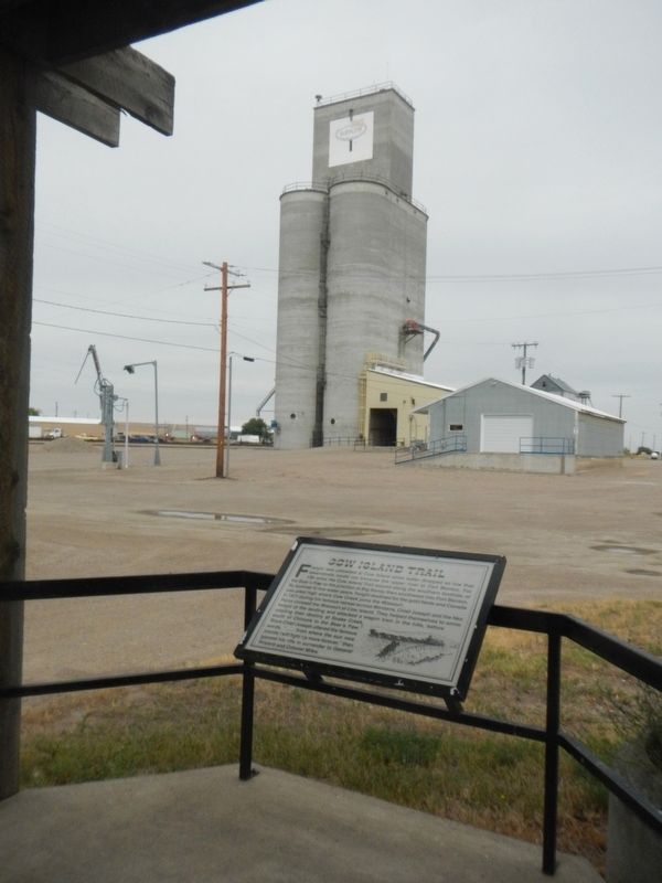
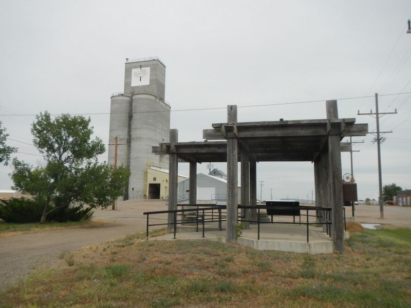
More about this marker. The marker is located at the kiosk at the intersection of US Hwy 87 and McNamara Avenue.
Also see . . . Cow Island, Montana -- Wikipedia. Cow Island was significant in Montana's pre- and early history period as a Missouri River ford, and during the segment of Montana territorial history from about the mid-1860s to the mid-1880s, when it was used as a trans-shipment point for freight going upstream by steamboat to Fort Benton Montana. Cow Island's historic significance is related to its geographic location. (Submitted on November 13, 2019, by Barry Swackhamer of Brentwood, California.)
Credits. This page was last revised on November 13, 2019. It was originally submitted on November 13, 2019, by Barry Swackhamer of Brentwood, California. This page has been viewed 316 times since then and 36 times this year. Photos: 1, 2, 3. submitted on November 13, 2019, by Barry Swackhamer of Brentwood, California.


