Near Burrville in Sevier County, Utah — The American Mountains (Southwest)
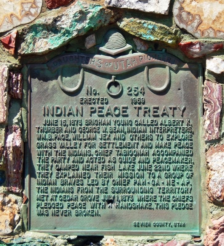
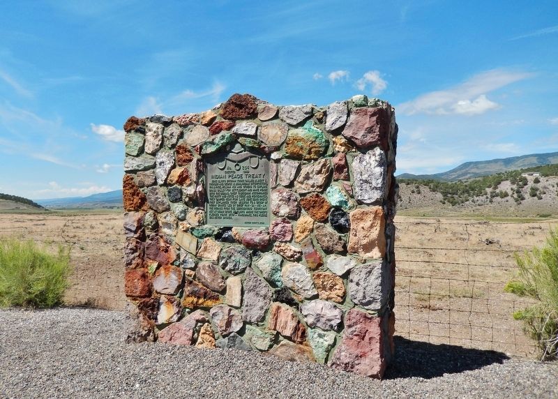
Indian Peace Treaty
Erected 1959 by Daughters of Utah Pioneers. (Marker Number 254.)
Topics and series. This historical marker is listed in these topic lists: Exploration • Native Americans • Settlements & Settlers • Wars, US Indian. In addition, it is included in the Daughters of Utah Pioneers series list. A significant historical date for this entry is June 15, 1873.
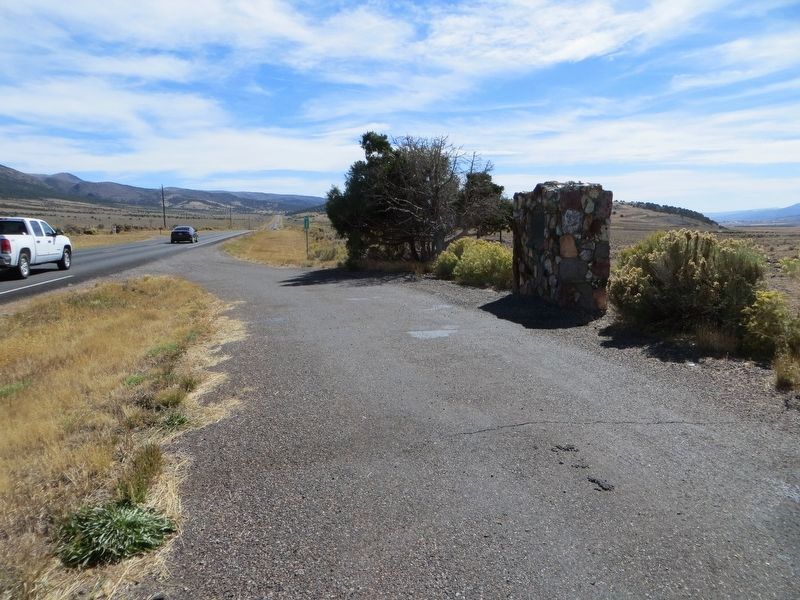
Location. 38° 34.385′ N, 111° 50.499′ W. Marker is near Burrville, Utah, in Sevier County. Marker is on Utah Route 24, 0.3 miles north of Utah Route 62, on the left when traveling north. Marker is located in a pull-out on the west side of the highway. Touch for map. Marker is in this post office area: Richfield UT 84701, United States of America. Touch for directions.
Other nearby markers. At least 8 other markers are within 16 miles of this marker, measured as the crow flies. Settlers of Grass Valley (approx. 4.7 miles away); Koosharem Amusement Hall (approx. 4.8 miles away); The Fish Lake Cut-off on the Old Spanish Trail (approx. 6.1 miles away); Peace Treaty with Fish Lake Indians (approx. 6.2 miles away); ZCMI Co-Op Building 1878-1930 / Glenwood Cooperative Mercantile (approx. 15.4 miles away); Loa, Utah (approx. 15.9 miles away); First Wayne Stake Tithing Office (approx. 15.9 miles away); Loa Tithing Office (approx. 15.9 miles away).
Credits. This page was last revised on April 6, 2020. It was originally submitted on November 14, 2019, by Cosmos Mariner of Cape Canaveral, Florida. This page has been viewed 272 times since then and 36 times this year. Photos: 1, 2. submitted on November 14, 2019, by Cosmos Mariner of Cape Canaveral, Florida. 3. submitted on April 6, 2020, by Bill Kirchner of Tucson, Arizona.


