Coudersport in Potter County, Pennsylvania — The American Northeast (Mid-Atlantic)
Headwaters Country
Pennsylvania Wilds
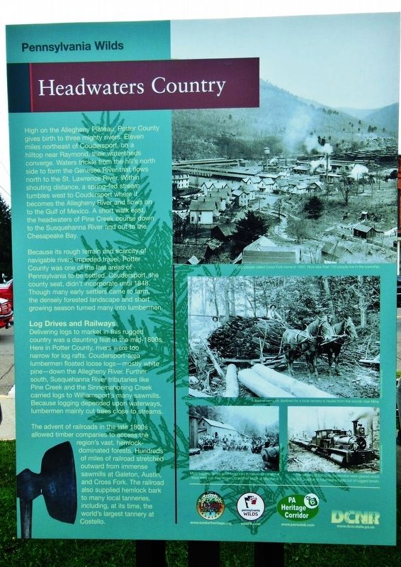
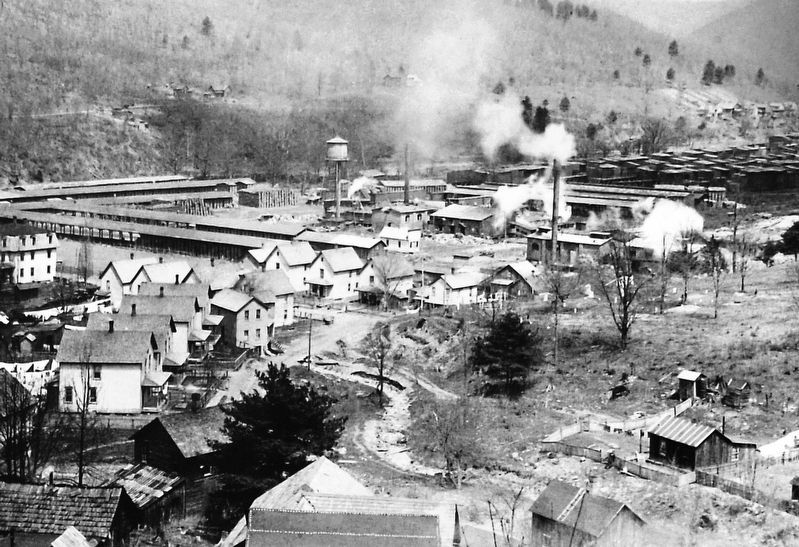
Because its rough terrain and scarcity of navigable rivers impeded travel, Potter County was one of the last areas of Pennsylvania to be settled. Coudersport, the county seat, didn't incorporate until 1848. Though many early settlers came to farm, the densely forested landscape and short growing season turned many into lumbermen.
Log Drives and Railways
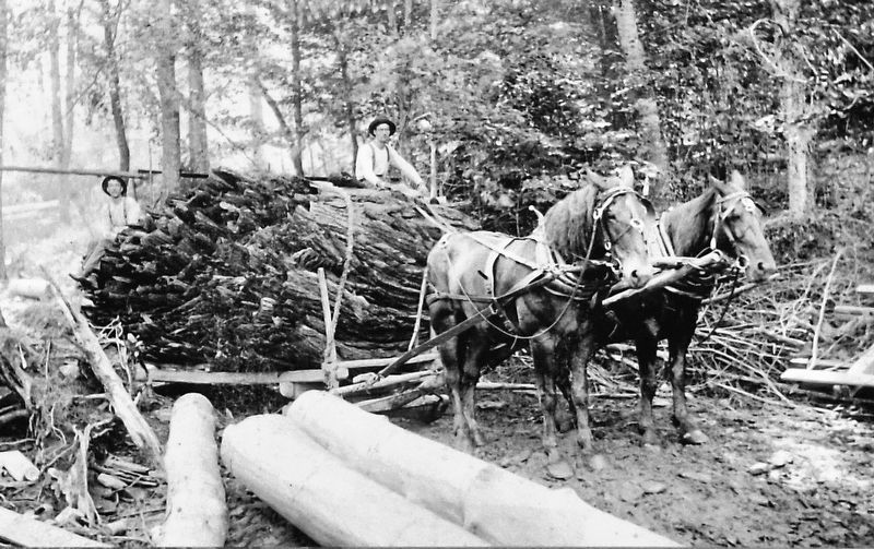
Delivering logs to market in this rugged country was a daunting feat in the mid-1800s. Here in Potter County, rivers were too narrow for log rafts. Coudersport-area lumbermen floated loose logs — mostly white pine — down the Allegheny River. Further south, Susquehanna River tributaries like Pine Creek and the Sinnemahoning Creek carried logs to Williamsport's many sawmills. Because logging depended upon waterways, lumbermen mainly cut trees close to streams. The advent of railroads in the late 1800s allowed timber companies to access the region's vast, hemlock-dominated forests. Hundreds of miles of railroad stretched outward from immense sawmills at Galeton, Austin, and Cross Fork. The railroad also supplied hemlock bark to many local tanneries, including, at its time, the world's largest tannery at Costello.
(photo captions)
• Most logging camps were temporary in nature. Once all the trees were cut, they moved to another block of forestland.
• The wheels of the Shay locomotive were geared which made it possible to haul heavy loads out of rugged terrain.
Erected by Pennsylvania Wilds, Pennsylvania Heritage Corridor, and Pennsylvania Department of Conservation and Natural Resources.
Topics. This historical marker is listed in these topic lists: Railroads & Streetcars • Roads & Vehicles • Settlements & Settlers • Waterways & Vessels. A significant historical year for this entry is 1848.
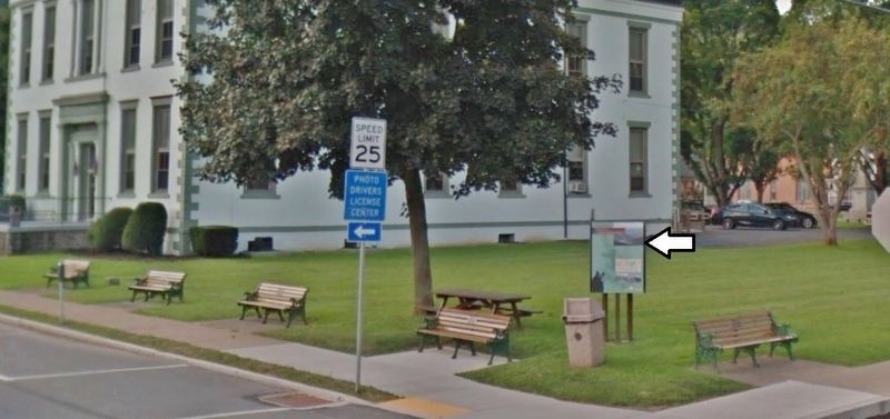
Location. 41° 46.481′ N, 78° 1.197′ W. Marker is in Coudersport, Pennsylvania, in Potter County. Marker is at the intersection of 2nd Street (U.S. 6) and East Street, on the right when traveling west on 2nd Street. Marker is the north-facing panel of a triangular kiosk located
beside the sidewalk at the northwest corner of the intersection. Touch for map. Marker is at or near this postal address: 1 2nd Street, Coudersport PA 16915, United States of America. Touch for directions.
Other nearby markers. At least 8 other markers are within 9 miles of this marker, measured as the crow flies. Road through the Wilderness • Historic Route 6 (here, next to this marker); Potter County (within shouting distance of this marker); David Zeisberger (within shouting distance of this marker); a different marker also named David Zeisberger (about 600 feet away, measured in a direct line); Lymansville (approx. 1.9 miles away); Jersey Shore Pike (approx. 3.2 miles away); Earthen Dam (approx. 8.7 miles away); Earthen Dam Spillway (approx. 8.7 miles away). Touch for a list and map of all markers in Coudersport.
Also see . . .
1. The Genesee River (Wikipedia). The Genesee River is a tributary of Lake Ontario flowing northward through the Twin Tiers of Pennsylvania and New York in the United States. (Submitted on November 16, 2019, by Cosmos Mariner of Cape Canaveral, Florida.)
2. The Allegheny River (Wikipedia). The Allegheny River runs from its headwaters just below the middle of Pennsylvania's northern border northwesterly into New York then in a zigzag southwesterly across the border and through Western Pennsylvania to join the Monongahela River at the Forks of the Ohio on the
"Point" of Point State Park in Downtown Pittsburgh. (Submitted on November 16, 2019, by Cosmos Mariner of Cape Canaveral, Florida.)
3. The Susquehanna River (Wikipedia). The Susquehanna River forms from two main branches: the "North Branch", which rises in Cooperstown, New York, and is regarded by federal mapmakers as the main branch or headwaters, and the West Branch, which rises in western Pennsylvania and joins the main branch near Northumberland in central Pennsylvania. (Submitted on November 16, 2019, by Cosmos Mariner of Cape Canaveral, Florida.)
4. Uncovering the History of Logging at the Pennsylvania Lumber Museum. When William Penn set up his colony along the banks of the Delaware River, it is estimated that Pennsylvania was 90% covered by forest. As more and more settlers flocked to the region, Penn’s Woods were a quick source of building materials, and the Pennsylvania lumber industry was quickly booming. By the 1920s, all that was left of these great woods were a few strands of inaccessible and protected first-growth forest. (Submitted on November 16, 2019, by Cosmos Mariner of Cape Canaveral, Florida.)
Credits. This page was last revised on November 16, 2019. It was originally submitted on November 15, 2019, by Cosmos Mariner of Cape Canaveral, Florida. This page has been viewed 686 times since then and 42 times this year. Photos: 1. submitted on November 15, 2019, by Cosmos Mariner of Cape Canaveral, Florida. 2, 3, 4. submitted on November 16, 2019, by Cosmos Mariner of Cape Canaveral, Florida.


