Southwest Jacksonville in Duval County, Florida — The American South (South Atlantic)
Antietam Sycamore
Camp Milton Historic Preserve
Photographed by Brandon D Cross, November 11, 2019
1. Antietam Sycamore Marker
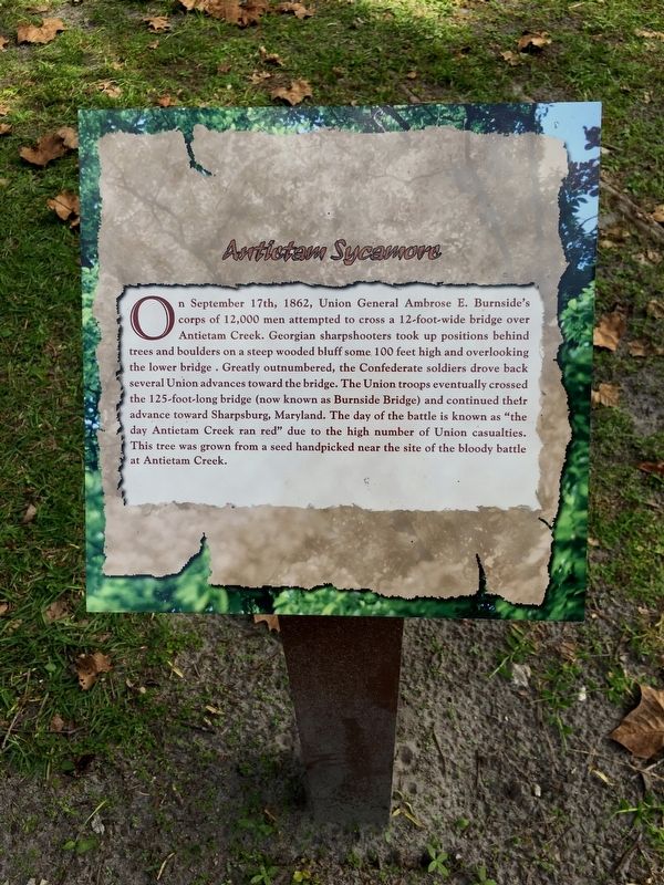
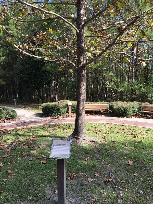
On September 17th, 1862, Union General Ambrose E. Burnside’s corps of 12,000 men attempted to cross a 12-foot-wide bridge over Antietam Creek. Georgian sharpshooters took up positions behind trees and boulders on a steep wooded bluff some 100 feet high and overlooking the lower bridge. Greatly outnumbered, the Confederate soldiers drove back several Union advances toward the bridge. The Union troops eventually crossed the 125-foot-long bridge (now known as Burnside Bridge) and continued their advance toward Sharpsburg, Maryland. The day of the battle is known as “the day Antietam Creek ran red’ due to the high number of Union casualties. This tree was grown from a seed handpicked near the site of the bloody battle at Antietam Creek.
Topics. This historical marker is listed in these topic lists: Horticulture & Forestry • Parks & Recreational Areas • War, US Civil.
Location. 30° 20.188′ N, 81° 51.97′ W. Marker is in Jacksonville, Florida, in Duval County. It is in Southwest Jacksonville. It can be reached from Halsema Road North 0.4 miles north of Old Plank
this page online

Regionally, this marker is in Florida’s First Coast. It is also in the American South and on the Eastern Seaboard. Globally, it is in the North Atlantic Region, North America, a Gulf of Mexico state, the Western Hemisphere, the Western World, and the Anglosphere. Historically, it finds itself in what was once New Spain, the territory of the Mississippian Culture, one of the Confederate States of America, and the Antebellum South.
Other nearby markers. At least 8 other markers are within walking distance of this marker: Robert E. Lee Tulip Popular (here, next to this marker); Arlington National Cemetery Tulip Poplar (here, next to this marker); Chatham House Catalpa (a few steps from this marker); Manassas Mimosa (a few steps from this marker); Robert E. Lee Southern Magnolia (within shouting distance of this marker); Frederick Douglass White Oak (within shouting distance
Photographed by Brandon D Cross, November 11, 2019
2. Antietam Sycamore Marker
Also see . . . Camp Milton Historic Preserve. City of Jacksonville (Submitted on November 20, 2019.)
Credits. This page was last revised on June 20, 2026. It was originally submitted on November 17, 2019, by Brandon D Cross of Flagler Beach, Florida. This page has been viewed 354 times since then and 22 times this year. Photos: 1, 2. submitted on November 17, 2019, by Brandon D Cross of Flagler Beach, Florida. • Bernard Fisher was the editor who published this page.
