Near Chinook in Blaine County, Montana — The American West (Mountains)
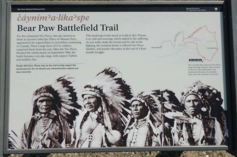
ćáynim?a•lika?spe
Bear Paw Battlefield Trail

Photographed By Barry Swackhamer, August 15, 2019
1. ćáynim?a•lika?spe Marker
Caption: (trail map at upper right) The 1.25-mile trail crosses the Nez Perce camp and siege defenses, loops around to the site of the initial attack, and returns pas the place of surrender. Start your walk clockwise, to the left.
People died here. Please stay on the trail to help respect this sacred ground. Do not disturb any commemorative objects you may encounter.
Erected by National Park Service, U.S. Department of the Interior.
Topics and series. This historical marker is listed in these topic lists: Native Americans • Wars, US Indian. In addition, it is included in the The Nez Perce Trail series list. A significant historical date for this entry is September 30, 1877.
Location. 48° 22.676′ N, 109° 12.724′ W. Marker is near Chinook, Montana, in Blaine County. Marker is on Cleveland Road (County Road 240) near S-B Road, on the left when traveling south. Touch for map. Marker is in this post office area: Chinook MT 59523, United States of America. Touch for directions.
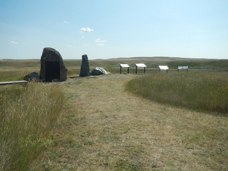
Other nearby markers. At least 8 other markers are within walking distance of this marker. Bear Paw Battlefield (here, next to this marker); Nez Perce National Historical Park (here, next to this marker); Last Battle (here, next to this marker); Bear's Paw Battleground (here, next to this marker); Surrender of Chief Joseph (a few steps from this marker); Nez Perce Encampment (about 500 feet away, measured in a direct line); Chief Joseph’s Surrender (about 700 feet away); Soldier Burials (approx. 0.2 miles away). Touch for a list and map of all markers in Chinook.
More about this marker. This markers is located near the Bear Paw Battlefield parking lot.
Additional keywords. ćáynim?a•lika?spe
Credits. This page was last revised on November 21, 2019. It was originally submitted on November 21, 2019, by Barry Swackhamer of Brentwood, California. This page has been viewed 166 times since then and 9 times this year. Photos: 1, 2. submitted on November 21, 2019, by Barry Swackhamer of Brentwood, California.
