
Near Chinook in Blaine County, Montana — The American West (Mountains)
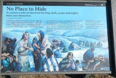
No Place to Hide
Photographed by Barry Swackhamer, August 15, 2019
1. No Place to Hide Marker
As cannon scattered shot from bursting shells, people held buffalo hides over themselves.
-- wewetatomay, wife of 'álok'at
As the initial attack turned into a six-day siege, the army began bombarding the Nez Perce camp with artillery. These open plains offered little natural protection. Here in this coulee, women and children used knives, pots, pans, and digging sticks to try to dig shallow caves in the hillside. Rain turned to snow, and the ground froze. By themselves, the Nez Perce warriors might have fought their way out. With families to protect, they were forced to make other decisions.
The battlefield is a cemetery for the men, women, and children killed here and should be accorded the respect of a sacred burial ground.
Erected by National Park Service, U.S. Department of the Interior.
Topics and series. This historical marker is listed in these topic lists: Indigenous Peoples and Communities • Wars, US Indian. In addition, it is included in the The Nez Perce Trail series list. A significant historical date for this entry is September 30, 1877.
Location. 48° 22.797′ N, 109° 12.523′ W. Marker is near Chinook,
this page online

Regionally, this marker is in Montana’s Missouri River Country. It is also in the American Mountain West, in the Lewis & Clark Corridor, on the prairies, on the Great Plains, and specifically on the Northern Plains. Globally, it is in North America, the Western Hemisphere, the Western World, and the Anglosphere. Historically, it finds itself in what was once Rupert’s Land and also the Louisiana Purchase.
Other nearby markers. At least 8 other markers are within walking distance of this marker: Brave Warriors Chief Joseph's Band (a few steps from this marker); McWhorter Stakes (a few steps from this marker); Nez Perce Encampment (about 600 feet away, measured in a direct line); We will stand our ground! (approx. 0.2 miles away); Bear's Paw Battleground (approx. 0.2 miles away); Surrender of Chief Joseph (approx. 0.2 miles away); Bear Paw Battlefield (approx. 0.2 miles away); Nez Perce National Historical Park
Photographed by Barry Swackhamer, August 15, 2019
2. No Place to Hide Marker
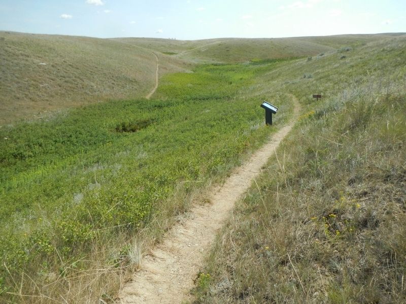
More about this marker. This marker is located on the Bear Paw Battlefield Trail. The trail is a loop, about 1 1/4 miles long, starting at the Bear Paw Battlefield parking lot.
Credits. This page was last revised on December 8, 2021. It was originally submitted on November 22, 2019, by Barry Swackhamer of Brentwood, California. This page has been viewed 326 times since then and 14 times this year. Photos: 1, 2. submitted on November 22, 2019, by Barry Swackhamer of Brentwood, California.
