Near Chinook in Blaine County, Montana — The American West (Mountains)
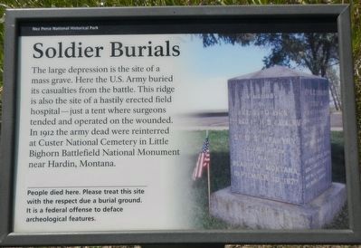
Soldier Burials
People died here. Please treat this site with the respect due a burial ground. It is a federal offense to deface archeological features.
Erected by National Park Service, U.S. Department of the Interior.
Topics and series. This historical marker is listed in these topic lists: Cemeteries & Burial Sites • Wars, US Indian. In addition, it is included in the The Nez Perce Trail series list.
Location. 48° 22.556′ N, 109° 12.59′ W. Marker is near Chinook, Montana, in Blaine County. Marker can be reached from Cleveland Road (County Road 240) near S-B Road. Touch for map. Marker is in this post office area: Chinook MT 59523, United States of America. Touch for directions.
Other nearby markers. At least 8 other markers are within walking distance of this marker. Chief Joseph’s Surrender (about 300 feet away, measured in a direct line); Bear Paw Battlefield (approx. 0.2 miles away); Nez Perce National Historical Park (approx. 0.2 miles away); ćáynim?a•lika?spe (approx. 0.2 miles away); Last Battle (approx. 0.2 miles away); Bear's Paw Battleground (approx. 0.2 miles away); Nez Perce Encampment (approx. 0.2 miles away); Surrender of Chief Joseph (approx. 0.2 miles away). Touch for a list and map of all markers in Chinook.
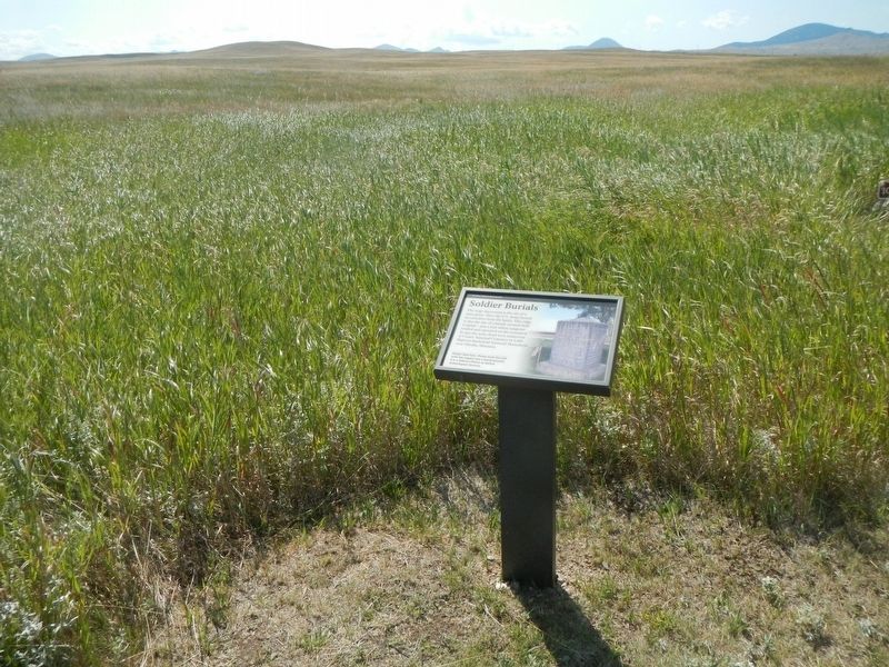
More about this marker. This marker is located on the Bear Paw Battlefield Trail. The trail is a loop, about 1 1/4 miles long, starting at the Bear Paw Battlefield parking lot.
Credits. This page was last revised on November 22, 2019. It was originally submitted on November 22, 2019, by Barry Swackhamer of Brentwood, California. This page has been viewed 197 times since then and 8 times this year. Photos: 1, 2. submitted on November 22, 2019, by Barry Swackhamer of Brentwood, California.

