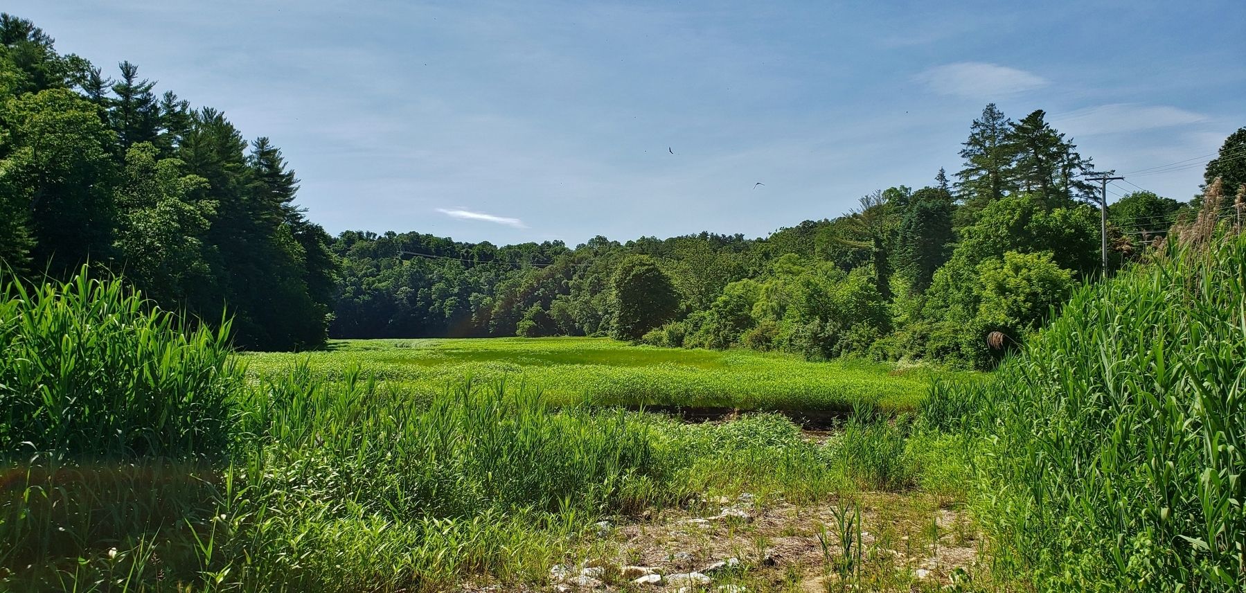
Springfield Township near York in York County, Pennsylvania — The American Northeast (Mid-Atlantic)
Family Album
Watershed Through Time
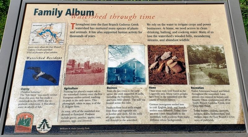
We rely on the water to irrigate crops and power businesses. At home, we need access to clean drinking, bathing, and cooking water. Many of us love the watershed's wooded hills, meandering streams, and abundant wildlife.
Osprey • Watershed Resident
(Pandion haliaetus) The “fish hawk” was nearly extinct from this area, but has made a comeback in the 1990’s due to pesticide restrictions. It flies above water in search of fish.
Agriculture
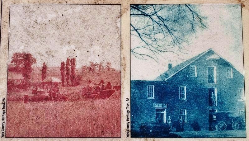
Farming has played a major role in the watershed's history since the first European settlers arrived, reaching its peak in the early 1900s. This photograph, taken in 1944, is of the E. Kilgore farm.
In 2004, 28% of the watershed was devoted to farmland. Products include grains, peaches, apples, corn, potatoes, eggs, and livestock.
Business
From the late 1700s to the early 1900s, the creek supported 16 mills, including the Keystone Factory and Grist Mill. The mill was located across this inlet.
Products from local mills ranged from flour and vegetable oils to lumber and cloth. All the mills are gone now, but businesses still flourish in the watershed.
Home
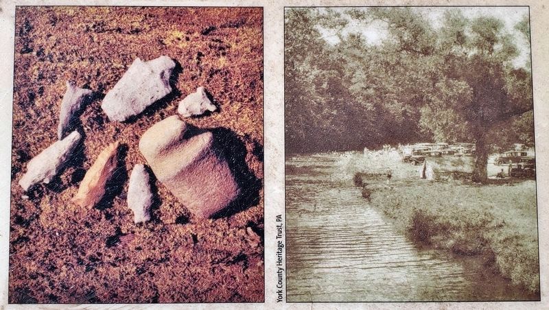
These stone tools were found in the Loganville area. Many native peoples have lived in the watershed over the course of human history.
German immigrants settled here in 1728. English, Irish, and Scotch settlers soon followed. Today, there are over 17,000 households in the watershed, with residents from many different ethnic backgrounds.
Recreation
Native Americans hunted and fished throughout the watershed. Later arrivals also enjoyed its beauty and bounty. These swimmers cool off in South Branch Codorus Creek, near Days Mill Road.
Today boaters, cyclists, canoeists, runners, skiers, birdwatchers, and walkers enjoy the East Branch's 2,700 acres of parkland.
Erected by William H. Kain County Park.
Topics. This historical marker is listed in these topic lists: Agriculture • Industry & Commerce • Parks & Recreational Areas • Settlements & Settlers. A significant historical year for this entry is 1944.
Location. 39° 53.859′ N, 76° 42.951′ W. Marker is near York, Pennsylvania, in York County. It is in Springfield Township. Marker can be reached from South George Street, half a mile south of Joppa Road, on the right when traveling south. Marker is located in William H. Kain County Park, at the Lake
Williams/York Reservoir parking and picnic area on the west side of South George Street. Touch for map. Marker is in this post office area: York PA 17403, United States of America. Touch for directions.
Other nearby markers. At least 8 other markers are within 2 miles of this marker, measured as the crow flies. The Keystone Grist Mill (about 600 feet away, measured in a direct line); Making Lakes (about 700 feet away); The Road of Remembrance Veterans Memorial (approx. ¾ mile away); George M. Leader (approx. one mile away); Jacobus (approx. 1.3 miles away); In Memory of Daniel L. Zerbe (approx. 1.7 miles away); In Memory of Michael R. Cohen (approx. 1.7 miles away); York Imperial Apple (approx. 1.8 miles away). Touch for a list and map of all markers in York.
Photographed By Cosmos Mariner, June 23, 2019
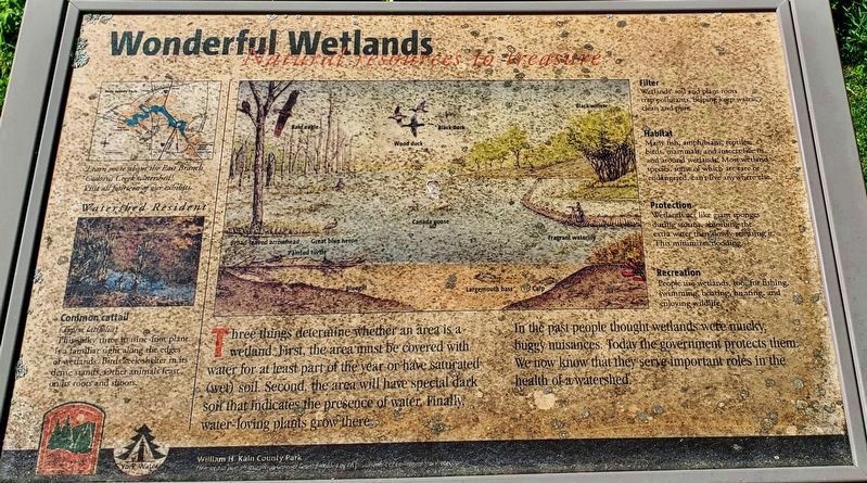
5. Wonderful Wetlands • Natural Resources to Treasure
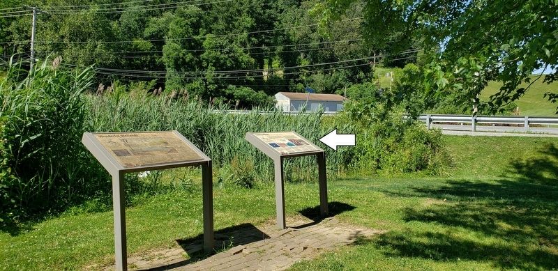
(located just left of marker)
(located just left of marker)
Three things determine whether an area is a wetland. First, the area must be covered with water for at least part of the year or have saturated (wet) soil. Second, the area will have special dark soil that indicates the presence of water. Finally, water-loving plants grow there.
In the past people thought wetlands were mucky, buggy nuisances. Today the government protects them. We now know that they serve important roles in the health of a watershed.
Common cattail • Watershed Resident
(Typha latifolia) This spiky three to nine-foot plant is a familiar sight along the edges of wetlands. Birds seek shelter in its dense stands. Other animals feast on its roots and shoots.
Filter
Wetlands’ soil and plant roots trap pollutants, helping keep water clean and pure.
Habitat
Many fish, amphibians, reptiles, birds, mammals, and insects live in and around wetlands. Most wetland species, some of which are rare or endangered, can’t live anywhere else.
Protection
Wetlands act like giant sponges during storms, absorbing the extra water then slowly releasing it. This minimizes flooding.
Recreation
People use wetlands, too, for fishing, swimming, boating, hunting, and enjoying wildlife.
Credits. This page was last revised on February 7, 2023. It was originally submitted on November 25, 2019, by Cosmos Mariner of Cape Canaveral, Florida. This page has been viewed 176 times since then and 15 times this year. Photos: 1, 2, 3, 4, 5, 6. submitted on November 25, 2019, by Cosmos Mariner of Cape Canaveral, Florida.
