Bowling Green in Warren County, Kentucky — The American South (East South Central)
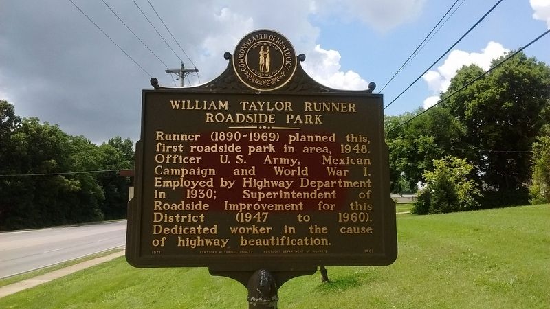
William Taylor Runner Roadside Park
Erected 1971 by Kentucky Historical Society & Kentucky Department of Highways. (Marker Number 1401.)
Topics and series. This historical marker is listed in these topic lists: Parks & Recreational Areas • Roads & Vehicles • War, World I. In addition, it is included in the Kentucky Historical Society series list. A significant historical year for this entry is 1948.
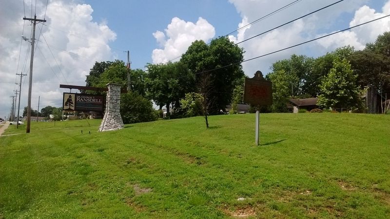
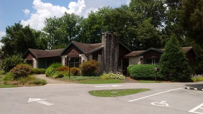
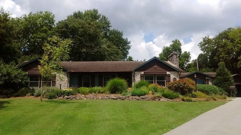
Location. 36° 57.491′ N, 86° 28.29′ W. Marker is in Bowling Green, Kentucky, in Warren County. Marker is on Nashville Road (U.S. 31W) just north of Oak Grove Way, on the left when traveling north. Touch for map. Marker is at or near this postal address: 2601 Nashville Road, Bowling Green KY 42101, United States of America. Touch for directions.
Other nearby markers. At least 8 other markers are within walking distance of this marker. The Old Mill Dam (approx. 0.3 miles away); Tourist Court (approx. 0.3 miles away); Underground Nite Club (approx. 0.3 miles away); Morgan's Command Organized (approx. 0.3 miles away); Lost River Cave and Valley (approx. 0.4 miles away); Civil War Camps (approx. 0.4 miles away); Lost River Blue Holes, Trees, Wild Flowers And Quarrying Ruins (approx. 0.4 miles away); Lost River Cave & Valley (approx. 0.4 miles away). Touch for a list and map of all markers in Bowling Green.
Credits. This page was last revised on November 30, 2019. It was originally submitted on November 30, 2019, by Tom Bosse of Jefferson City, Tennessee. This page has been viewed 219 times since then and 15 times this year. Photos: 1, 2, 3, 4. submitted on November 30, 2019, by Tom Bosse of Jefferson City, Tennessee. • Devry Becker Jones was the editor who published this page.


