
The Canal Store
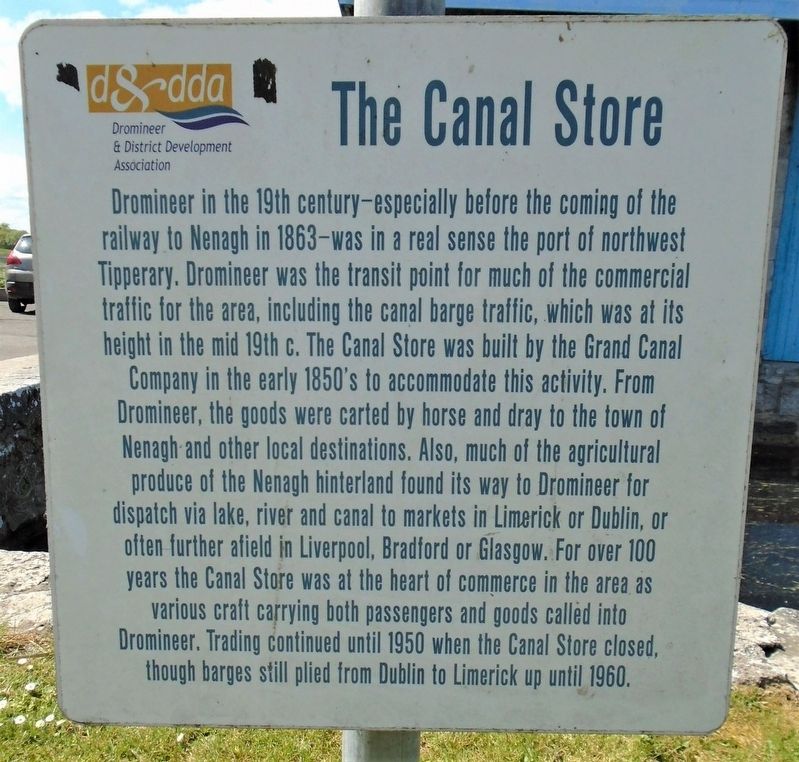
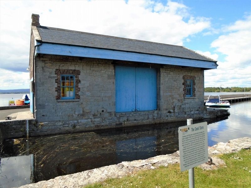
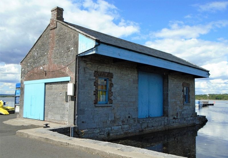
Dromineer in the 19th century-especially before the coming of the railway to Nenagh in 1863-was in a real sense the port of northwest Tipperary. Dromineer was the transit point for much of the commercial traffic for the area, including the canal barge traffic, which was at its height in the mid 19th c. The Canal Store was built by the Grand Canal Company in the early 1850's to accommodate this activity. From Dromineer, the goods were carted by horse and dray to the town of Nenagh and other local destinations. Also, much of the agricultural produce of the Nenagh hinterland found its way to Dromineer for dispatch via lake, river and canal to markets in Limerick or Dublin, or often further afield in Liverpool, Bradford or Glasgow. For over 100 years the Canal Store was at the heart of commerce in the area as various craft carrying both passengers and goods called into Dromineer. Trading continued until 1950 when the Canal Store closed, though barges still plied from Dublin to Limerick up until 1960.
Erected by Dromineer & District Development Association.
Topics. This historical marker is listed in these topic
this page online
Location. 52° 55.512′ N, 8° 16.733′ W. Marker is in Dromineer, Munster, in County Tipperary. It is on the lakefront access road 0.1 kilometers west of Munster Route R495, on the right when traveling west. Touch for map. Touch for directions.

Regionally, this marker is in Ancient East. Globally, it is on the Atlantic Ocean, in the North Atlantic Region, in Europe, on the Island of Ireland, on the Celtic Fringe, in the European Union, in Atlantic Europe, on one of the British Isles, in the Western World, and in the Anglosphere. Historically, it finds itself in what was once a British colony.
Other nearby markers. At least one other marker is within walking distance of this marker: Dromineer Castle (about 120 meters away, measured in a direct line).
Also see . . . Grand Canal (Ireland) at Wikipedia. (Submitted on December 1, 2019, by William Fischer, Jr. of Reynoldsburg, Ohio.)
Credits. This page was last revised on December 1, 2019. It was originally submitted on December 1, 2019, by William Fischer, Jr. of Reynoldsburg, Ohio. This page has been viewed 200 times since then and 27 times this year. Photos: 1, 2, 3, 4, 5. submitted on December 1, 2019, by William Fischer, Jr. of Reynoldsburg, Ohio.
