Mount Morris in Livingston County, New York — The American Northeast (Mid-Atlantic)
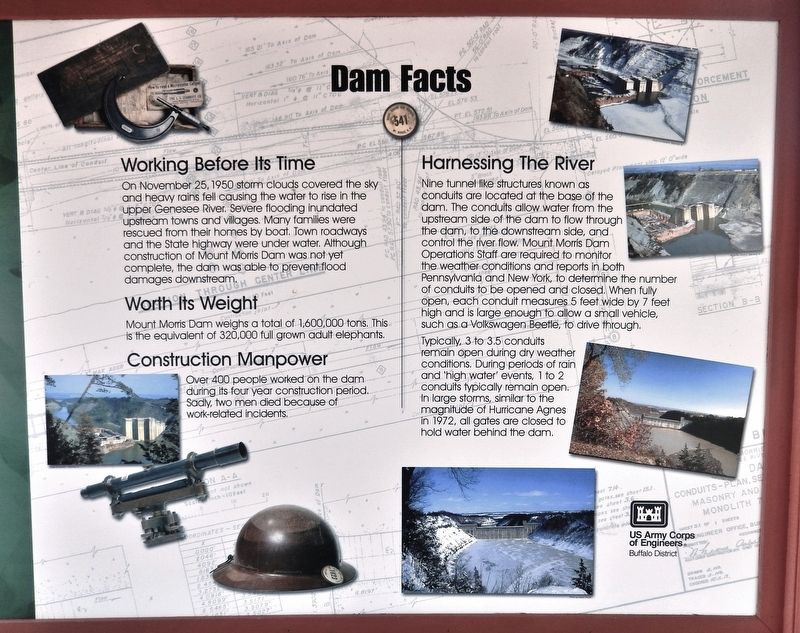
Dam Facts
Working Before Its Time
On November 25, 1950 storm clouds covered the sky and heavy rains fell causing the water to rise in the upper Genesee River. Severe flooding inundated upstream towns and villages. Many families were rescued from their homes by boat. Town roadways and the State highway were under water. Although construction of Mount Morris Dam was not yet complete, the dam was able to prevent flood damages downstream.
Worth Its Weight
Mount Morris Dam weighs a total of 1,600,000 tons, This is the equivalent of 320,000 full grown adult elephants.
Construction Manpower
Over 400 people worked on the dam during its four year construction period. Sadly, two men died because of work-related incidents.
Harnessing The River
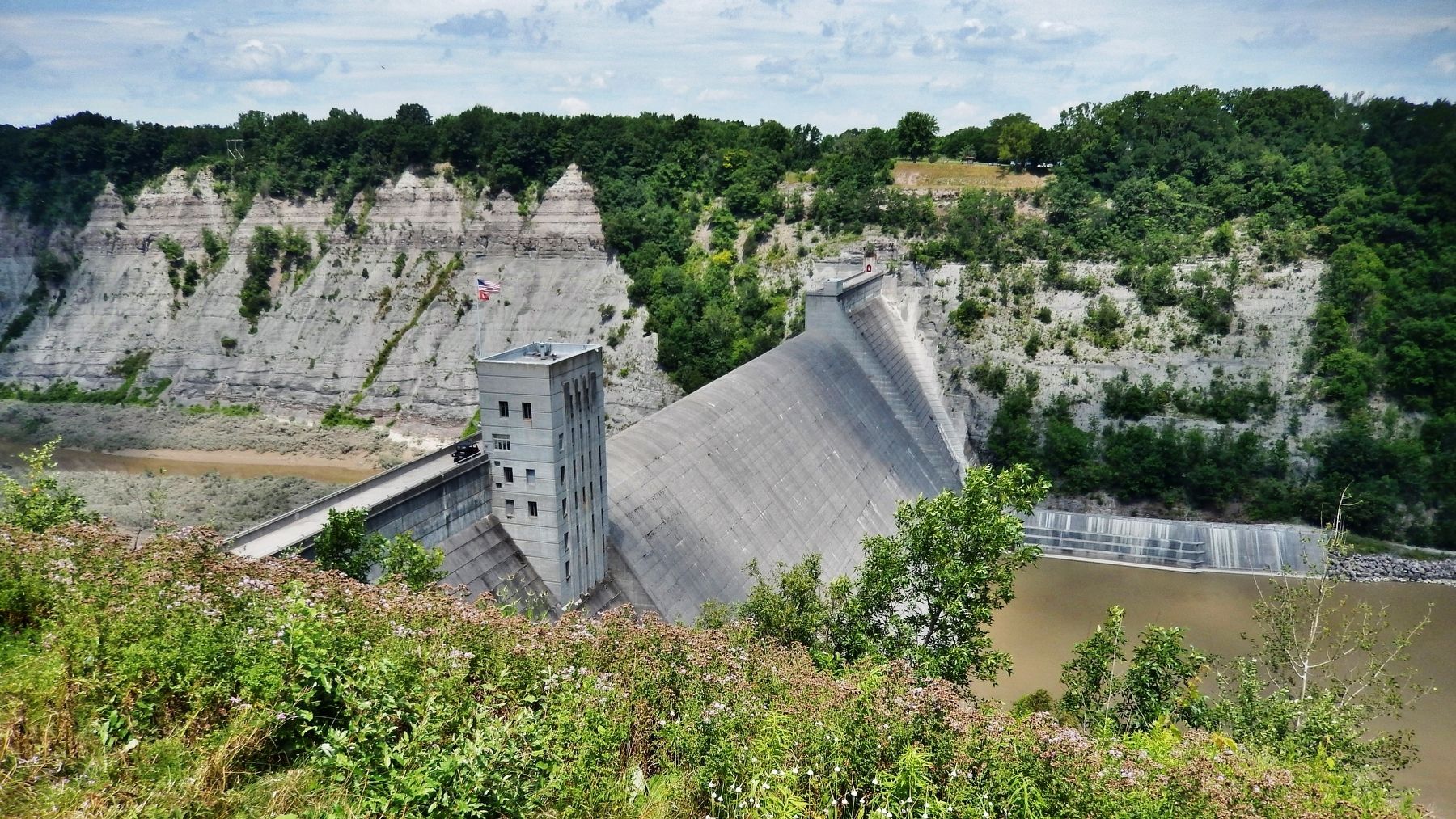
Nine tunnel like structures known as conduits are located at the base of the dam. The conduits allow water from the upstream side of the dam to flow through the dam, to the downstream side, and control the river flow. Mount Morris Dam Operations Staff are required to monitor the weather conditions and reports in both Pennsylvania and New York, to determine the number of conduits to be opened and closed. When fully open, each conduit measures 5 feet wide by 7 feet high and is large enough to allow a small vehicle, such as a Volkswagen Beetle, to drive through.
Typically, 3 to 3.5 conduits remain open during dry weather conditions. During periods of rain and “high water” events, 1 to 2 conduits typically remain open. In large storms, similar to the magnitude of Hurricane Agnes in 1972, all gates are closed to hold water behind the dam.
Erected by U.S. Army Corps of Engineers.
Topics. This historical marker is listed in these topic lists: Disasters • Man-Made Features • Waterways & Vessels. A significant historical date for this entry is November 25, 1950.
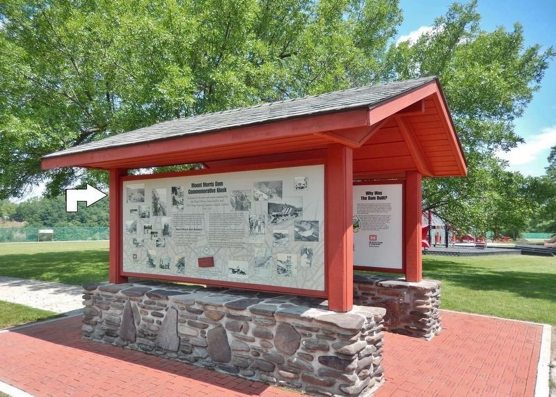
Location. 42° 43.877′ N, 77° 54.361′ W. Marker is in Mount Morris, New York, in Livingston County. Marker can be reached from Visitor Center Road, 1.8 miles north of Mount Morris Nunda Road (State Route 408). Marker is located in an interpretive kiosk along the walkway in front of the Mount Morris Dam & Recreation Area Visitor Center. Touch for map. Marker is at or near this postal address: 6103 Visitor Center Road, Mount Morris NY 14510, United States of America. Touch for directions.
Other nearby markers. At least 8 other markers are within 2 miles of this marker, measured as the crow flies. Why Was This Dam Built? (here, next to this marker); Mount Morris Dam Commemorative Kiosk (here, next to this marker); The Largest Dry Bed Dam East of the Mississippi River (within shouting distance of this marker); Mt. Morris Dam (approx. ¼ mile
away); "Da-Yo-It-Ga-O" (approx. 0.7 miles away); Murray Hill (approx. 1.1 miles away); John Wesley Powell (approx. 1½ miles away); Francis Bellamy Memorial Park (approx. 1½ miles away). Touch for a list and map of all markers in Mount Morris.
Related markers. Click here for a list of markers that are related to this marker. Mount Morris Dam
Also see . . . Mount Morris Dam (Wikipedia). The Mt. Morris Dam was built between 1948 and 1952 by the Buffalo District office of the U.S. Army Corps of Engineers (USACE). The project was authorized by the United States Congress in the Flood Control Act of 1944 at a cost of $25 million. (Submitted on December 8, 2019, by Cosmos Mariner of Cape Canaveral, Florida.)
Credits. This page was last revised on December 8, 2019. It was originally submitted on December 7, 2019, by Cosmos Mariner of Cape Canaveral, Florida. This page has been viewed 304 times since then and 26 times this year. Photos: 1, 2, 3. submitted on December 8, 2019, by Cosmos Mariner of Cape Canaveral, Florida.


