Munising in Alger County, Michigan — The American Midwest (Great Lakes)
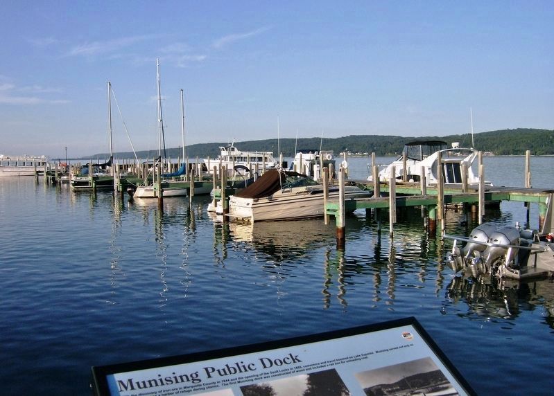
Munising Public Dock
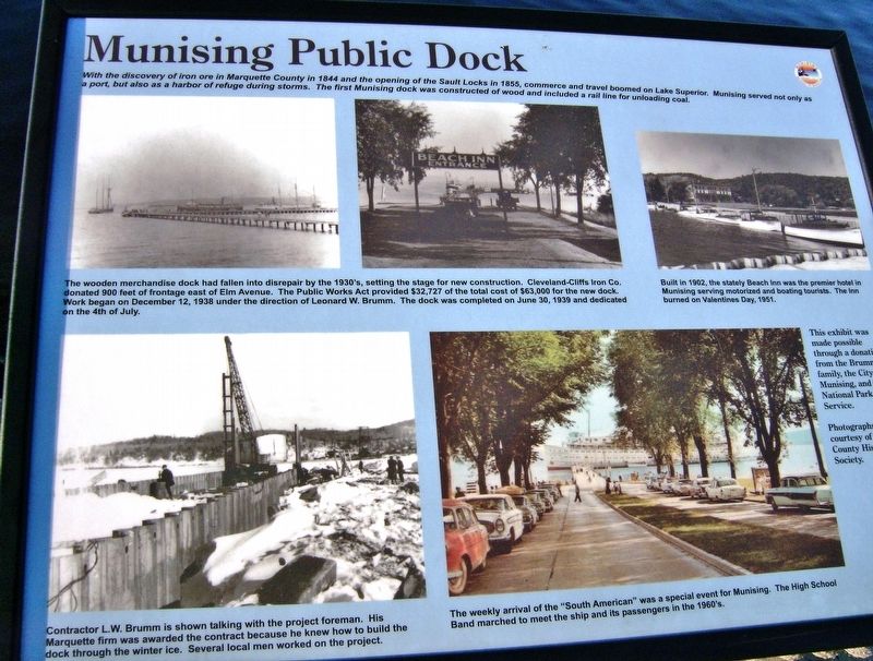
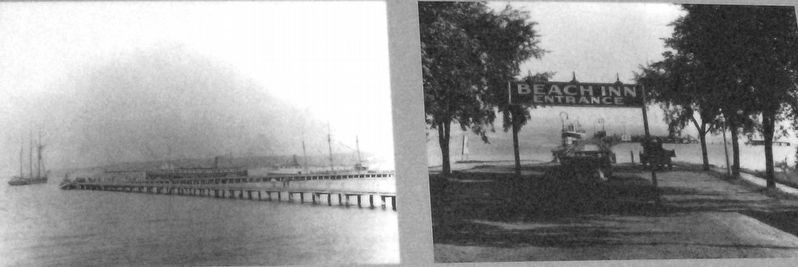
With the discovery of iron ore in Marquette County in 1844 and the opening of the Sault Locks in 1855, commerce and travel boomed on Lake Superior. Munising served not only as a port, but also as a harbor of refuge during storms. The first Munising dock was constructed of wood and included a rail line for unloading coal.
This exhibit was made possible through a donation from the Brumm family, the City of Munising, and the National Park Service.
Erected by Brumm family; the City of Munising; and the National Park Service, U.S. Department of the Interior.
Topics. This historical marker is listed in these topic lists: Industry & Commerce • Parks & Recreational Areas • Waterways & Vessels.
Location. 46° 24.78′ N, 86° 39.225′ W. Marker is in Munising, Michigan, in Alger County. Marker can be reached from Elm Avenue, 0.1 miles north of East Munising Avenue (State Highway 28), on the right when traveling north. Marker is located at the north end of Elm Avenue, near the northwest corner of Binsfeld Bayshore Park, overlooking the subject public docks. Touch for map. Marker is at or near this postal address: 355 Elm Avenue, Munising MI 49862, United States of America. Touch for directions.
Other nearby markers. At least 8 other markers are within 8 miles of this marker, measured as the crow flies. Shipwrecks of the Alger Underwater Preserve (within shouting distance of this marker); Russell A. Alger (approx. 0.3 miles away); Munising Falls (approx. 1.6 miles away); Location is Everything! (approx. 3.2 miles away); What’s Old? What’s New? (approx. 3.2 miles away); Bay Furnace Ruins (approx. 3.2 miles away); U.S. Coast Guard (approx. 3½ miles away); Grand Island View (approx. 7.4 miles away). Touch for a list and map of all markers in Munising.
Courtesy Alger County Historical Society
2. Marker detail: The dock was completed on June 30, 1939 and dedicated on the 4th of July
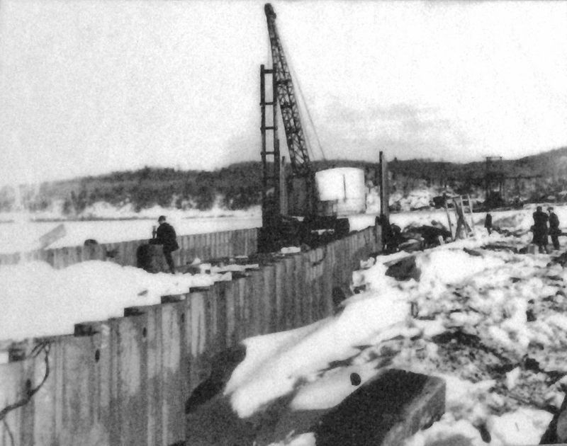
The wooden merchandise dock had fallen into disrepair by the 1930's, setting the stage for new construction. Cleveland-Cliffs Iron Co. donated 900 feet of frontage east of Elm Avenue. The Public Works Act provided $32,727 of the total cost of $63,000 for the new dock. Work began on December 12, 1938 under the direction of Leonard W. Brumm.
Credits. This page was last revised on December 7, 2020. It was originally submitted on December 9, 2019, by Cosmos Mariner of Cape Canaveral, Florida. This page has been viewed 255 times since then and 29 times this year. Photos: 1, 2, 3, 4, 5, 6. submitted on December 9, 2019, by Cosmos Mariner of Cape Canaveral, Florida.
