Columbia in Monroe County, Illinois — The American Midwest (Great Lakes)
Palmier Cemetery
Photographed by Thomas Smith, December 10, 2019
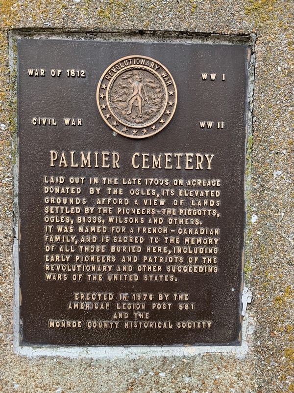
1. Palmier Cemetery Marker
War of 1812 • Civil War • WW I • WW II
Laid out in the late 1700s on acreage donated by the Ogles,its elevated grounds afford a view of lands settled by the pioneers—the Piggotts, Ogles, Biggs, Wilson and others. It was named for a French-Canadian family, and is sacred to the memory off all those buried here, including early pioneers and patriots of the Revolutionary and other succeeding wars of the United States.
Erected 1976 by American Legion Post 581 and the Monroe County Historial Society.
Topics. This memorial is listed in these topic lists: Cemeteries & Burial Sites • Settlements & Settlers • War, US Civil • War, US Revolutionary • War, World I • War, World II.
Location. 38° 27.807′ N, 90° 12.911′ W. Memorial is in Columbia, Illinois, in Monroe County. It can be reached from Palmer Road 0.3 miles north of Quarry Road, on the right when traveling north. Touch for map. Memorial is at or near this postal address: 265 Quarry Rd, Columbia IL 62236, United States of America. Touch for directions.

Regionally, this memorial
this page online
Other nearby markers. At least 8 other markers are within one mile of this marker, measured as the crow flies: A different marker also named Palmier Cemetery (within shouting distance of this marker); Four-Bent Pile trestle (approx. ¼ mile away); Millstadt Junction (0) (approx. ¼ mile away); Milepost 632 (approx. ¼ mile away); Bell Tower (approx. 0.3 miles away); Sand Bank School (approx. half a mile away); American Freedom Fighter and Palestinian Girl (approx. 0.9 miles away); Admiral Carlisle A. H. Trost (approx. 1.1 miles away). Touch for a list and map of all markers in Columbia.
Photographed by Thomas Smith, December 10, 2019
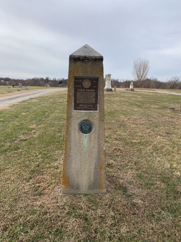
2. Palmier Cemetery Marker
Credits. This page was last revised on April 17, 2023. It was originally submitted on December 10, 2019, by Thomas Smith of Waterloo, Ill. This page has been viewed 613 times since then and 86 times this year. Photos: 1, 2. submitted on December 10, 2019, by Thomas Smith of Waterloo, Ill. • Bernard Fisher was the editor who published this page.
