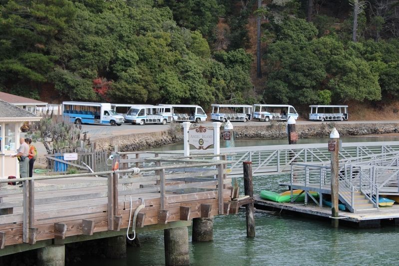
Near Tiburon in Marin County, California — The American West (Pacific Coastal)
Angel Island
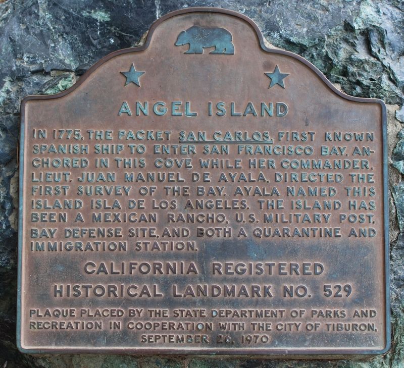
In 1775, the packet San Carlos, first known Spanish ship to enter San Francisco Bay, anchored in this cove while her commander, Lieut. Juan Manuel de Ayala, directed the first survey of the bay. Ayala named this island Isla de los Angeles. The island has been a Mexican rancho, U.S. military post, bay defense site and both a quarantine and immigration station.
California Registered Historical Landmark No. 529.
Erected 1970 by State Department of Parks and Recreation in cooperation with the City of Tiburon. (Marker Number 529.)
Topics and series. This historical marker is listed in these topic lists: African Americans • Exploration • War, US Civil • Waterways & Vessels. In addition, it is included in the California Historical Landmarks, and the Chinese Heritage Sites of the American West series lists. A significant historical date for this entry is September 26, 1969.
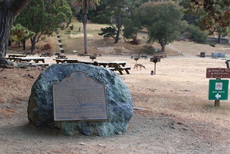
Location. 37° 52.007′ N, 122° 26.089′ W. Marker is near Tiburon, California, in Marin County. This marker is located on Angel Island on the path leading south from the ferry dock toward the grass field at the head of Ayala Cove. Touch for map. Marker is in this post office area: Belvedere Tiburon CA 94920, United States of America. Touch for directions.
Other nearby markers. At least 8 other markers are within walking distance of this marker. Isolating Disease (about 300 feet away, measured in a direct line); a different marker also named Angel Island (about 300 feet away); Ayala Cove (about 400 feet away); Medical Officers at Home (about 500 feet away); a different marker also named Ayala Cove (about 700 feet away); Protecting the Public Health (approx. 0.2 miles away); Melting Glaciers + Rising Seas = (approx. ¼ mile away); Camp Reynolds (approx. half a mile away). Touch for a list and map of all markers in Tiburon.
Also see . . .
1. Angel Island History - Angel Island Conservancy. The island is alive with history… three thousand years ago it served as a fishing and hunting site for Coastal Miwok Indians. It was later a haven for Spanish Explorer Juan Manuel de Ayala, a cattle ranch, and a U.S. Army post starting with the Civil War. - Angel Island Conservany (Submitted on October 10, 2013, by Barry Swackhamer of Brentwood, California.)
2. The Spanish Era at California Department of Parks and Recreation.
"Ayala's pilot, Don Jose de Canizares, explored the bay in the ship's launch, and did the necessary map work - the first maps ever made of the magnificent and now world-famous harbor. The San Carlos remained at anchor beside the island that Ayala christened Isla de Los Angeles. This name followed a practice then common among Catholic explorers of naming sites for the religious feast days nearest to the time of discovery."(Submitted on August 8, 2022, by Joseph Alvarado of Livermore, California.)
Credits. This page was last revised on August 22, 2022. It was originally submitted on October 10, 2013, by Barry Swackhamer of Brentwood, California. This page has been viewed 667 times since then and 26 times this year. Last updated on December 11, 2019, by Craig Baker of Sylmar, California. Photos: 1. submitted on August 12, 2022, by Joseph Alvarado of Livermore, California. 2. submitted on October 10, 2013, by Barry Swackhamer of Brentwood, California. 3. submitted on August 12, 2022, by Joseph Alvarado of Livermore, California. 4. submitted on October 10, 2013, by Barry Swackhamer of Brentwood, California. 5. submitted on August 12, 2022, by Joseph Alvarado of Livermore, California.
