Near Kingston Springs in Cheatham County, Tennessee — The American South (East South Central)
Mound Bottom
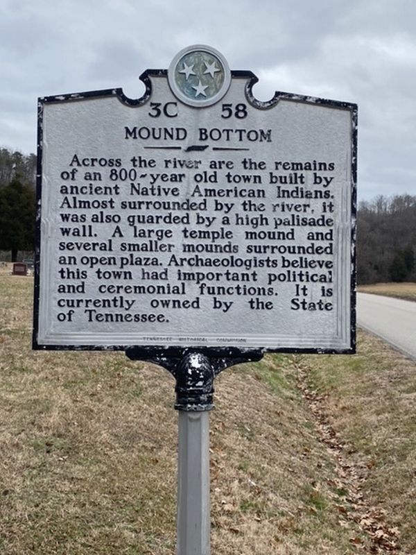
Photographed by Darren Jefferson Clay, December 26, 2019
1. Mound Bottom Marker
Erected by Tennessee Historical Commission. (Marker Number 3C 58.)
Topics and series. This historical marker is listed in these topic lists: Anthropology & Archaeology • Indigenous Peoples and Communities • Settlements & Settlers. In addition, it is included in the Tennessee Historical Commission series list.
Location. 36° 8.17′ N, 87° 5.914′ W. Marker is near Kingston Springs, Tennessee, in Cheatham County. It is on Cedar Hill Road 0.4 miles south of Mound Creek Road, on the right when traveling south. Touch for map. Marker is at or near this postal address: 1325 Cedar Hill Road, Kingston Springs TN 37082, United States of America. Touch for directions.

Regionally, this marker
this page online
Other nearby markers. At least 8 other markers are within 6 miles of this marker, measured as the crow flies: Patterson Forge (approx. 0.9 miles away); Narrows of the Harpeth (approx. 1½ miles away); Trail Head (approx. 2½ miles away); Connection To Johnsonville (approx. 2.7 miles away); South Cheatham County Veterans Monument (approx. 3.6 miles away); Memorial to Submariners (approx. 5 miles away); Fuller's Siding (approx. 5.1 miles away); Marine War Memorial (approx. 5.2 miles away). Touch for a list and map of all markers in Kingston Springs.
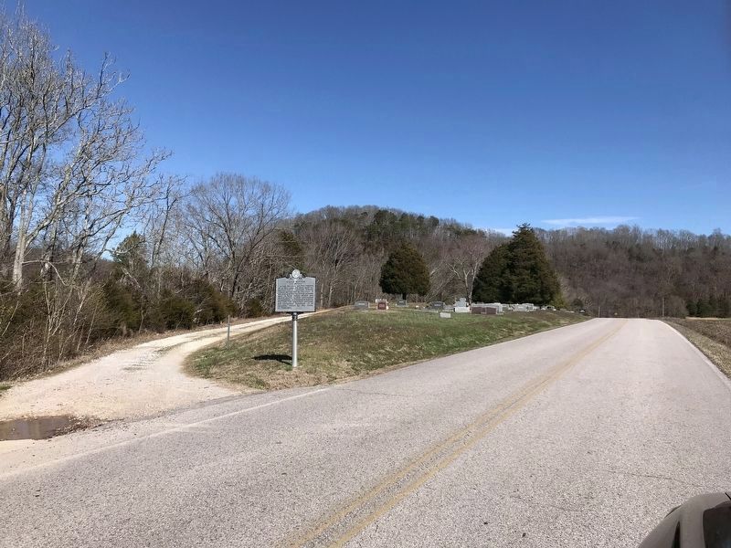
Photographed by Duane and Tracy Marsteller, March 8, 2020
2. Mound Bottom Marker
As seen while traveling north on Cedar Hill Road. Scott Cemetery is in the background.
Credits. This page was last revised on March 9, 2020. It was originally submitted on December 26, 2019, by Darren Jefferson Clay of Duluth, Georgia. This page has been viewed 775 times since then and 71 times this year. Photos: 1. submitted on December 26, 2019, by Darren Jefferson Clay of Duluth, Georgia. 2. submitted on March 9, 2020, by Duane and Tracy Marsteller of Murfreesboro, Tennessee. • Devry Becker Jones was the editor who published this page.
