
Great Falls in Cascade County, Montana — The American West (Mountains)
Sacajawea Island
Photographed by Barry Swackhamer, August 19, 2019
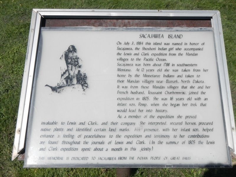
1. Sacajawea Island Marker
On July 3, 1984 this island was named in honor of Sacajawea, the Shoshoni Indian girl who accompanied the Lewis and Clark expedition from the Mandan villages to the Pacific Coast.
Sacajawea was born about 1788 in southwest Montana, At 12 years old she was taken from her home by the Minnetaree Indians and take to their Mandan villages near Bismark, North Dakota. It was from these Mandan villages that she and her French husband, Toussaint Charbonneau, joined the expedition in 1805. She was 16 years old with an infant son, Pomp, when she began her trek that would lead her into history.
As a member of the expedition she proved invaluable to Lewis and Clark, and their company. She interpreted, secured horses, procured native plants and identified certain land marks. Her presence, with her infant son, helped enhance a feeling of peacefulness to the expedition and testimony to her contributions are found throughout the journals of Lewis and Clark. (In the summer of 1805 the Lewis and Clark expedition spent about a month in this vicinity,)
Erected by Indian People of Great Falls.
Topics and series. This historical
this page online
Location. 47° 30.889′ N, 111° 18.068′ W. Marker is in Great Falls, Montana, in Cascade County. It is on River Drive North near 6th Street North, on the right when traveling west. Touch for map. Marker is at or near this postal address: 558 River Road North, Great Falls MT 59401, United States of America. Touch for directions.

Regionally, this marker is in andspecifically entral Montana in Russell Country. It is also in the American Mountain West and in the Lewis & Clark Corridor. Globally, it is in North America, the Rocky Mountains, the Western Hemisphere, the Western World, and the Anglosphere. Historically, it finds itself in what was once Rupert’s Land and also the Louisiana Purchase.
Other nearby markers. At least 8 other markers are within walking distance of this marker: 315 Fourth Avenue North (approx. 0.3 miles away); Terrill Apartments (approx. 0.4 miles away); Northside Residential Historic District
Photographed by Barry Swackhamer, August 19, 2019
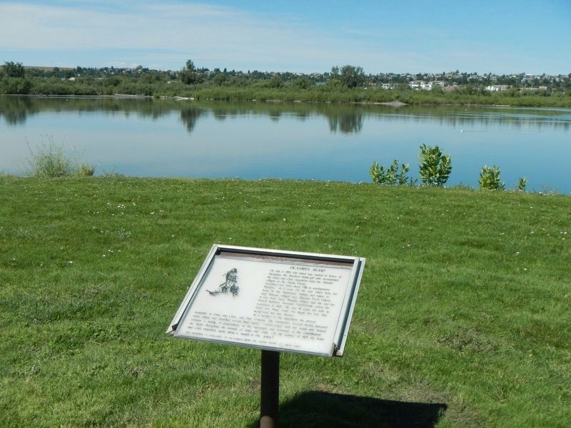
2. Sacajawea Island (the treeline) and Marker
More about this marker. This marker is in Gibson Park near the tennis courts.
Credits. This page was last revised on February 14, 2026. It was originally submitted on December 28, 2019, by Barry Swackhamer of Brentwood, California. This page has been viewed 1,695 times since then and 286 times this year. Photos: 1, 2. submitted on December 28, 2019, by Barry Swackhamer of Brentwood, California.
