Near Dargan in Washington County, Maryland — The American Northeast (Mid-Atlantic)
Confederate Invasion
Five Years Later …
— Early's 1864 Attack on Washington —
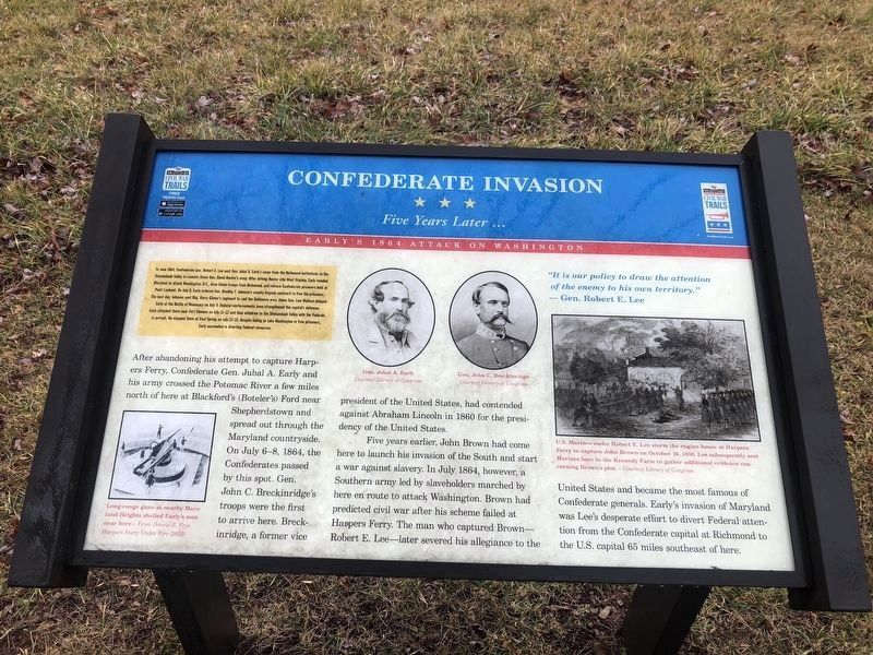
In June 1864, Confederate Gen. Robert E. Lee sent Gen. Jubal A. Early's corps from the Richmond battlefield to the Shenandoah Valley to counter Union Gen. David Hunter's army. After driving Hunter into West Virginia, Early invaded Maryland to attack Washington, D.C., draw Union troops from Richmond, and release Confederate prisoners held at Point Lookout. On July 9, Early ordered Gen. Bradley T. Johnson's cavalry brigade eastward to free the prisoners. The next day, Johnson sent Maj. Harry Gilmer's regiment to raid the Baltimore area. Union Gen. Lew Wallace delayed Early at the Battle of Monocacy on July 9. Federal reinforcements soon strengthened the capital's defenses. Early attacked there near Fort Stevens on July 11-12 and then withdrew to the Shenandoah Valley with the Federals in pursuit. He stopped them at Cool Spring on July 17-18. Despite failing to take Washington or free prisoners, Early succeeded in diverting Federal resources.
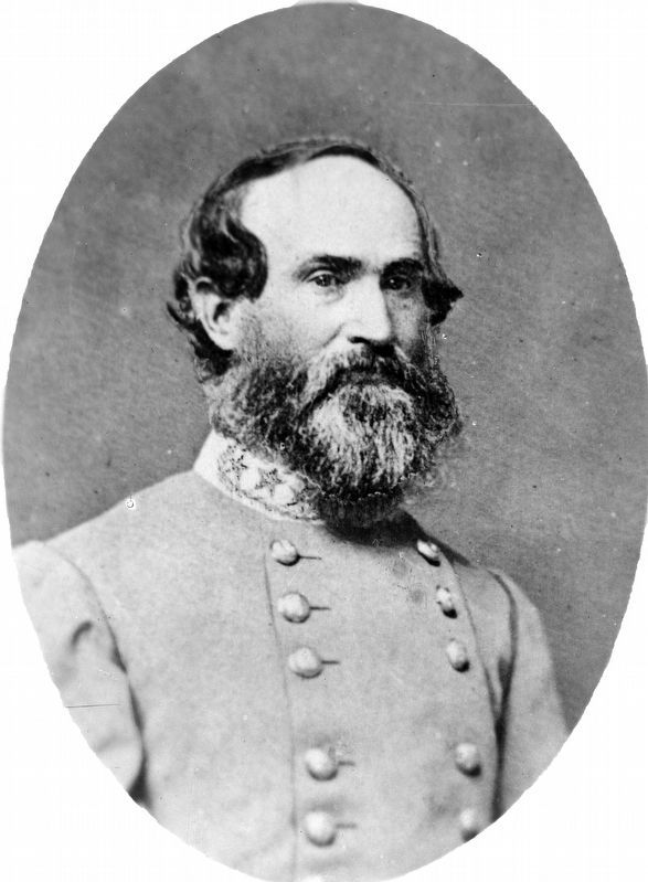
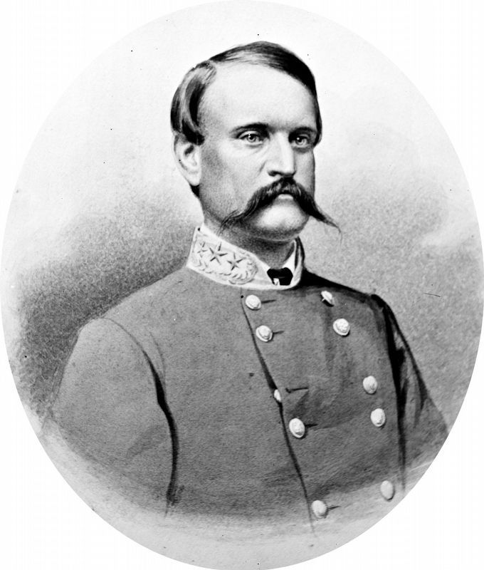
After abandoning his attempt to capture Harpers Ferry, Confederate Gen. Jubal A. Early and his army crossed the Potomac River a few miles north of here at Blackford's (Boteler's) Ford near Shepherdstown and spread out through the Maryland countryside. On July 6-8, 1864, the Confederates passed by this spot. Gen. John C. Breckenridge's troops were the first to arrive here. Breckinridge, a former vice president of the United States, had contended against Abraham Lincoln in 1860 for the presidency of the United States.
Five years earlier, John Brown had come here to launch his invasion of the South and start a war against slavery. In July 1864, however, a Southern army led by slaveholders marched by here on route to attack Washington. Brown had predicted civil war after his scheme failed at Harpers Ferry. The man who captured Brown—Robert E. Lee—later severed his allegiance to the United States and became the most famous of Confederate generals. Early's invasion of Maryland was Lee's desperate effort to divert Federal attention from the Confederate capital at Richmond to the U.S. capital 65 miles southeast of here.
[Captions:]
"It is our policy to draw the attention of the enemy to his own territory."
— Gen. Robert E. Lee
Long-range guns at nearby Maryland Heights shelled Early's men near here — From Dennis E. Frye, Harpers Ferry Under Fire (2012)
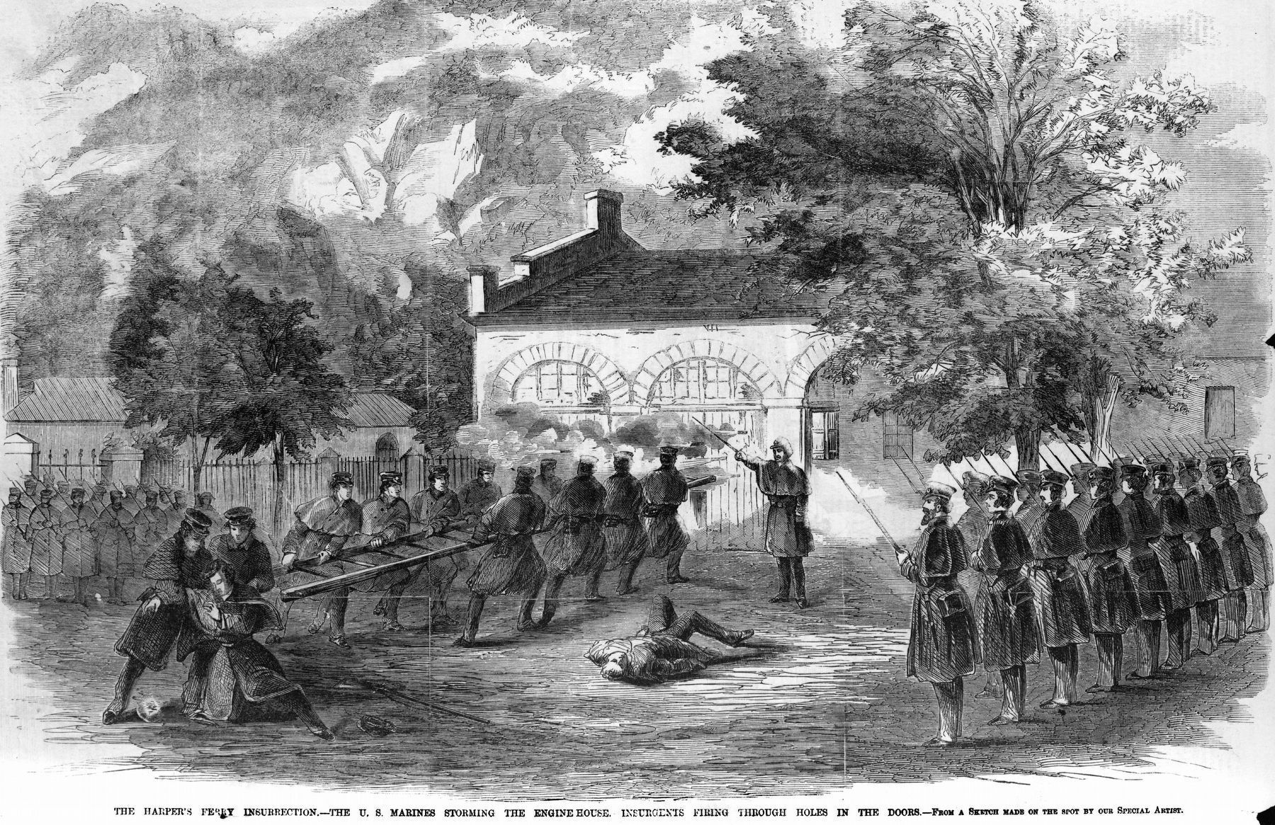
U.S. Marines under Robert E. Lee storm the engine house at Harpers Ferry to capture John Brown on October 16, 1859. Lee subsequently sent Marines here to the Kennedy Farm to gather additional evidence concerning Brown's plot.
Erected by Maryland Civil War Trails.
Topics and series. This historical marker is listed in these topic lists: Abolition & Underground RR • War, US Civil • Waterways & Vessels. In addition, it is included in the Maryland Civil War Trails series list. A significant historical month for this entry is June 1864.
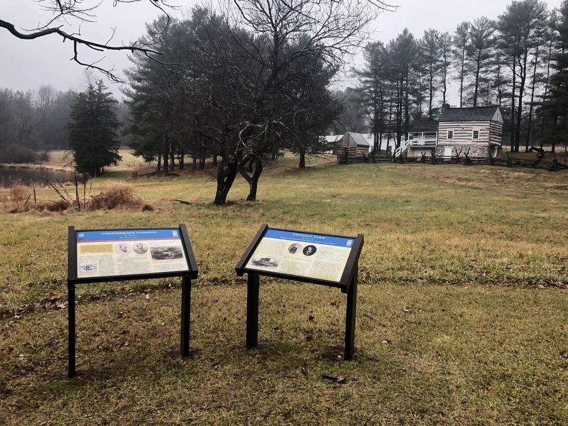
Location. 39° 22.786′ N, 77° 42.866′ W. Marker is near Dargan, Maryland, in Washington County. Marker is on Chestnut Grove Road, 0.3 miles east of McCoy Road, on the left when traveling east. Touch for map. Marker is at or near this postal address: 2421 Chestnut Grove Road, Sharpsburg MD 21782, United States of America. Touch for directions.
Other nearby markers. At least 8 other markers are within 3 miles of this marker, measured as the crow flies. John Brown, 59, Hanged (within shouting distance of this marker); Kennedy Farm (within shouting distance of this marker); a different marker also named Kennedy Farm (about 500 feet away, measured in a direct line); a different marker also named John Brown (about 600 feet away); The Moler Family (approx. 2.1 miles away in West Virginia); Battle of Maryland Heights (approx. 2˝ miles away); St. Luke’s Episcopal Church (approx. 2.6 miles away); Stone Fort (approx. 2.6 miles away). Touch for a list and map of all markers in Dargan.
Library of Congress
5. U.S. Marines under Robert E. Lee storm the engine house at Harpers Ferry to capture John Brown.
On October 16, 1859. Lee subsequently sent Marines here to the Kennedy Farm to gather additional evidence concerning Brown's plot.
from Frank Leslie's Illustrated Newspaper, October 29, 1859, Vol. 8, No. 204, P. 342.
from Frank Leslie's Illustrated Newspaper, October 29, 1859, Vol. 8, No. 204, P. 342.
Credits. This page was last revised on February 8, 2024. It was originally submitted on December 29, 2019, by Devry Becker Jones of Washington, District of Columbia. This page has been viewed 319 times since then and 40 times this year. Last updated on March 31, 2021, by Linda Walcroft of Woodstock, Virginia. Photos: 1, 2. submitted on December 29, 2019, by Devry Becker Jones of Washington, District of Columbia. 3, 4, 5. submitted on June 27, 2020, by Allen C. Browne of Silver Spring, Maryland.
